Rio Juruena
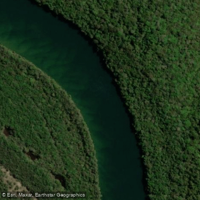
Rio Juruena
- Boat Ramps
- 0
- Access Points
- 0
- Campsites
- 0
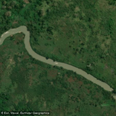
The Rio Juruena is a 1,240-kilometer river in west-central Brazil, flowing entirely within or along the borders of Mato Grosso. It originates on the Parecis plateau at an elevation of approximately 653 meters and descends northward to its confluence with the Tapajós River at around 100 meters elevation, giving it a significant overall drop across its length. Within Mato Grosso, the river defines the eastern boundary of the 227,817-hectare Igarapés do Juruena State Park. In its lower 190 kilometers, it forms the state boundary between Mato Grosso and Amazonas, running between the Juruena National Park to the east and the Sucunduri State Park to the west.
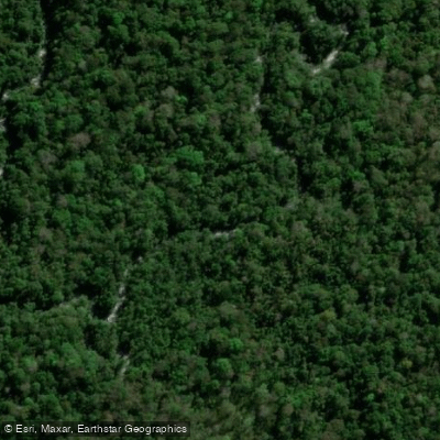
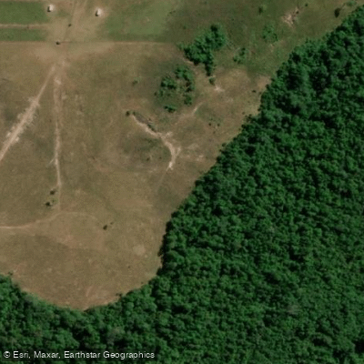
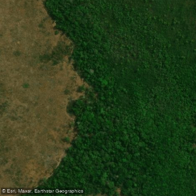
The river passes through a remote, largely undisturbed stretch of southern Amazon rainforest. The waters are crystal-clear, and the surrounding landscape is characterized by intact forest cover. Notable features along the river include Cachoeira do Desastre, Cachoeirão, and Salto Augusto — all significant waterfalls or rapids that represent serious hazards for paddlers and would require careful scouting or portaging.
Access to the river's more remote reaches is typically arranged via the city of Alta Floresta, either by road or by small aircraft. There are no public boat ramps along the river. The river corridor is extremely remote, and self-supported paddling expeditions would require thorough logistical planning. A private fishing lodge operates on a private island in the river and is accessible from Alta Floresta or Manaus, offering some indication of the infrastructure available in the region.
The river supports a diverse fish population including tucunaré (peacock bass), cachorra (vampire fish), redtail catfish, trahira, giant trahira, and various Leporinus species. The surrounding protected areas and intact forest make wildlife observation a significant aspect of any river journey. The river falls within the Amazon Basin, and given its latitude and tropical location, conditions are influenced by wet and dry seasons typical of the southern Amazon. Paddlers should research seasonal water levels carefully before planning a trip. The fishing lodge operates from January through November, which provides a general indication of accessible months, though high-water periods during the wet season can significantly alter river character and hazard levels.
Water access, boat ramps & amenities
Learn how to get on Rio Juruena. Uncover great paddling access points, boat ramps, and all the facilities you need for an unforgettable day on the water. Some locations shown may border or include private property. Always check property boundaries and applicable regulations before visiting. PaddleWays's Public & Private Land layer can help you plan your access with confidence.
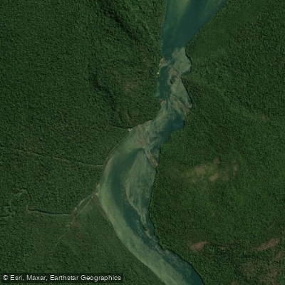
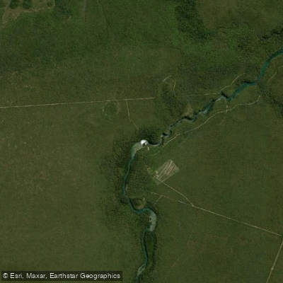
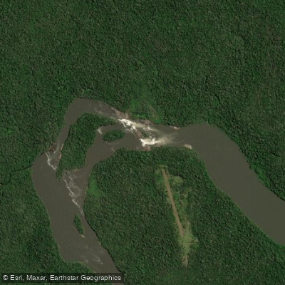
Paddle smarter with real-time insights
Whether you're en route and conditions shift or you're looking for the best spot based on current flows, we enable you to make informed decisions on the fly.







Amazonas licenses and regulations
No licenses or regulations available for Amazonas.
Find Places to Paddle

Over 400,000 Places to Paddle
Every user gets free access to launch points, boat ramps, and public property parcels.


Water and weather conditions (10 day forecast)
See the best times to paddle Rio Juruena and check the forecast before you go.
Pch Santa Lúcia I E Ii Montante 2
All Flow Stations
Explore Amazonas waters
Top paddling waters
No waters available right now.
Popular Cities
Loading popular cities...
Explore near Rio Juruena
More in Amazonas

Smarter Paddling Starts in the App.
Paddleways gives you everything you need to plan smarter, paddle better, and own every trip from first launch to takeout.