Rio Solimões
Rio Solimões
- Boat Ramps
- 0
- Access Points
- 0
- Campsites
- 0
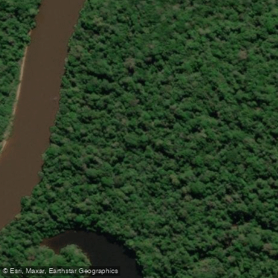
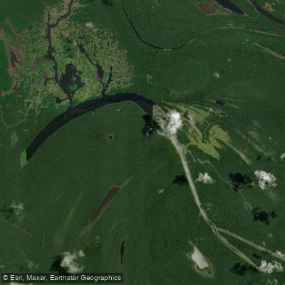
The Rio Solimões is the Brazilian name for the upper Amazon River as it flows through Amazonas state, stretching roughly 1,600 kilometers (about 1,000 miles) from the Brazilian-Peruvian border near Tabatinga westward to its confluence with the Rio Negro just east of Manaus. The river traverses a broad floodplain approximately 80 kilometers (50 miles) wide, broken into a maze of channels separated by islands covered in tropical rainforest. The water is characteristically muddy and brown in color, carrying a heavy sediment load from Andean sources — a stark visual contrast to the dark, nearly black waters of the Rio Negro it eventually meets.
That confluence, known as the Encontro das Águas (Meeting of the Waters), is one of the most visually striking features associated with the river. For roughly 6 kilometers, the brown Solimões waters and the black Rio Negro flow side by side without mixing, a phenomenon caused by differences in temperature, speed, and density between the two rivers. This point, located near Manaus, is a common destination for boat and canoe excursions.
The river is subject to dramatic seasonal flooding. During high-water periods, typically peaking around May and June, the Solimões can inundate surrounding communities and floodplain areas to a significant degree, as seen in towns such as Anama. This seasonal rise and fall fundamentally shapes travel and navigation on the river, with boat traffic being the primary means of transportation for much of the year in riverside communities. Regular commercial riverboat services operate along the Solimões, connecting towns such as Tabatinga, São Paulo de Olivença, Coari, and Manacapuru.
For paddlers, the scale of the river is a primary consideration — this is an enormous, high-volume waterway with strong currents, heavy commercial and passenger boat traffic, and remote stretches with limited infrastructure. Motorized canoe trips through side channels of the Rio Solimões are offered as part of organized tours based out of Manaus. The surrounding rainforest supports diverse birdlife and aquatic vegetation, including large floating plants visible in areas such as the Ecological Park of Janeiro near the Meeting of the Waters.
Water access, boat ramps & amenities
Learn how to get on Rio Solimões. Uncover great paddling access points, boat ramps, and all the facilities you need for an unforgettable day on the water. Some locations shown may border or include private property. Always check property boundaries and applicable regulations before visiting. PaddleWays's Public & Private Land layer can help you plan your access with confidence.
Paddle smarter with real-time insights
Whether you're en route and conditions shift or you're looking for the best spot based on current flows, we enable you to make informed decisions on the fly.







Amazonas licenses and regulations
No licenses or regulations available for Amazonas.
Find Places to Paddle

Over 400,000 Places to Paddle
Every user gets free access to launch points, boat ramps, and public property parcels.


Water and weather conditions (10 day forecast)
See the best times to paddle Rio Solimões and check the forecast before you go.
Fonte Boa
All Flow Stations
Explore Amazonas waters
Top paddling waters
No waters available right now.
Popular Cities
Loading popular cities...
Explore near Rio Solimões
Nearby waters
More in Amazonas

Smarter Paddling Starts in the App.
Paddleways gives you everything you need to plan smarter, paddle better, and own every trip from first launch to takeout.