Rio Buranhém ou Peixe
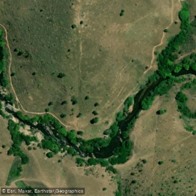
Rio Buranhém ou Peixe
- Boat Ramps
- 0
- Access Points
- 0
- Campsites
- 0
The Rio Buranhém, also known as Rio do Peixe, flows through the states of Minas Gerais (approximately 20 km) and Bahia (approximately 128 km) before emptying into the Atlantic Ocean at Porto Seguro. The river's total navigable length is roughly 131 miles. It passes through Eunápolis before reaching its mouth, where it forms the natural boundary between Porto Seguro and the Arraial d'Ajuda district — the same crossing used by the well-known vehicle and passenger ferry connecting the two communities.
The river's character changes significantly along its length. In the upper freshwater reaches toward the interior, the river runs through forested areas with pools that support traíras, piaus, and jundiás. Average depth in these stretches runs between 1.5 and 4 meters, with a maximum of around 8 meters. The lower estuarine section near Porto Seguro transitions into mangrove-lined channels where freshwater and saltwater mix, creating habitat for robalo-peva (Centropomus parallelus). This estuarine zone is the most accessible stretch of the river and sits close to the center of Porto Seguro, near the ferry pier.
Kayak paddling in the mangrove channels of the lower river is well-suited for those wanting to explore without venturing far from town. The waters in this section are calm. Boat tours also operate from the Píer Municipal in Porto Seguro, using the river for excursion routes. At the river's mouth, a flooded area rich in wildlife frames the transition to the sea and offers a sense of the landscape's pre-colonial character.
The dry winter months from June through September are the best period for paddling and fishing on the river, with water temperatures typically ranging between 24 and 28°C during favorable conditions. Porto Seguro is located approximately 700 km from Salvador, accessible via the BR-101 to Eunápolis and then the BR-367 for the final 60 km to Porto Seguro. The estuarine section is the easiest to reach, situated in the heart of Porto Seguro near the ferry crossing. For access to upper river sections, local pousadas can provide guidance on entry points.
Porto Seguro itself carries considerable historical significance as the site of the first Portuguese landing in Brazil in 1500, under Pedro Álvares Cabral.
Water access, boat ramps & amenities
Learn how to get on Rio Buranhém ou Peixe. Uncover great paddling access points, boat ramps, and all the facilities you need for an unforgettable day on the water. Some locations shown may border or include private property. Always check property boundaries and applicable regulations before visiting. PaddleWays's Public & Private Land layer can help you plan your access with confidence.
Paddle smarter with real-time insights
Whether you're en route and conditions shift or you're looking for the best spot based on current flows, we enable you to make informed decisions on the fly.







Bahia licenses and regulations
No licenses or regulations available for Bahia.
Find Places to Paddle

Over 400,000 Places to Paddle
Every user gets free access to launch points, boat ramps, and public property parcels.


Water and weather conditions (10 day forecast)
See the best times to paddle Rio Buranhém ou Peixe and check the forecast before you go.
Guaratinga
All Flow Stations
Paddling near Rio Buranhém ou Peixe
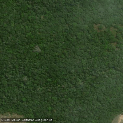
Rio da Barra
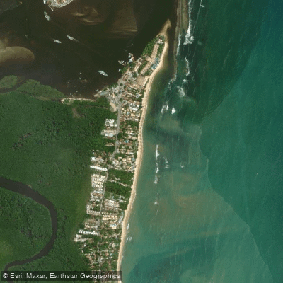
Praia do Apaga Fogo
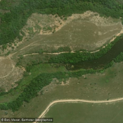
Rio do Trancoso
Rio João de Tiba
Praia de Araçaípe
Rio dos Frades
Rio Mutari
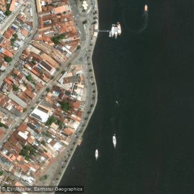
Praia do Cruzeiro
Rio Caraíva
Explore Bahia waters
Top paddling waters
No waters available right now.
Popular Cities
Loading popular cities...
Explore near Rio Buranhém ou Peixe

Smarter Paddling Starts in the App.
Paddleways gives you everything you need to plan smarter, paddle better, and own every trip from first launch to takeout.