Paddling in Bahia
- Lakes
- 677
- Rivers
- 954
- Access
- 16
- Boat Ramps
- 2
- Shops
- 0
Bahia is a big, varied state — the largest in northeastern Brazil — and its paddling reflects that scale.
You've got one of the country's great rivers running along its western edge, a coastline laced with mangroves and estuaries, and interior rivers cutting through remnants of Atlantic Forest.
The scene isn't built around a single iconic run; it's spread across very different kinds of water, and the experience shifts dramatically depending on where you point the bow. The Rio São Francisco is the anchor.
It defines Bahia's western boundary and feeds the Represa de Sobradinho, one of the largest reservoirs in South America. That reservoir means flatwater on a massive scale — open, exposed, and subject to wind — more expedition territory than day-trip paddling.
The river itself, below the dam, has a different character: slower, wide, and historically significant in a way that makes a multi-day float feel like more than just mileage. On the coast and in the south, the paddling gets intimate.
Boipeba Island's mangroves are navigable by kayak, with the Rio Apiã threading through a natural tunnel of vegetation at dusk — the kind of paddle where you're moving quietly enough to hear birds.
Around Itacaré, the Atlantic Forest presses right to the water's edge, and the rivers there wind through terrain that's been largely spared from development.
The Baía de Todos os Santos, near Salvador, offers calmer saltwater paddling with the state capital as a backdrop.
The Rio de Contas and Rio Paraguaçu drain the interior highlands and carry more gradient — the Paraguaçu in particular runs through the Chapada Diamantina before reaching the coast, which hints at moving-water possibilities that the flatwater tourist circuit doesn't advertise.
The Rio Roncador and Rio Buranhém in the south are smaller coastal drainages worth knowing about if you're exploring that stretch. Timing matters.
The wet season runs roughly from April through July in much of Bahia, pushing river levels up and making interior access harder on dirt roads.
The drier months — August through February — are generally more reliable for planning, though the coast operates on its own logic and the Baía de Todos os Santos can be paddled year-round with attention to wind and tide.
Bahia rewards paddlers who do their homework before arriving. The infrastructure for guided coastal kayaking exists, especially around Boipeba and Itacaré, but self-supported river travel on the interior drainages requires local knowledge and flexibility.
The rivers here aren't managed the way whitewater runs are in the south of Brazil — they're just rivers, moving through a landscape that's still working out the tension between development and what's left of the forest.
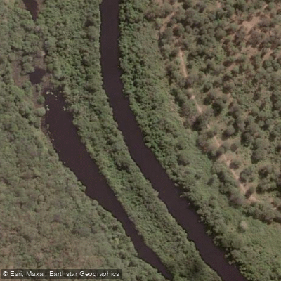
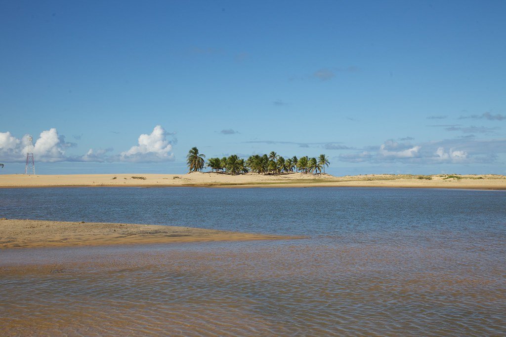
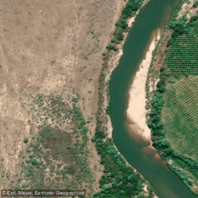
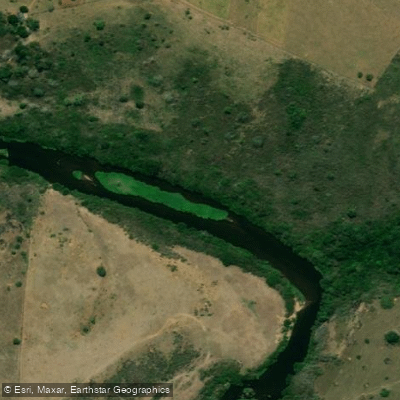
Top waters to paddle near Bahia


Paddle smarter with real-time insights
Whether you're en route and conditions shift or you're looking for the best spot based on current flows, we enable you to make informed decisions on the fly.







Bahia licenses and regulations
Explore Bahia waters
Top paddling waters
Popular Cities
Loading popular cities...

Smarter Paddling Starts in the App.
Paddleways gives you everything you need to plan smarter, paddle better, and own every trip from first launch to takeout.