Rio de Contas
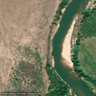
Rio de Contas
- Boat Ramps
- 0
- Access Points
- 0
- Campsites
- 3
The Rio de Contas is a major river in the state of Bahia, eastern Brazil, originating at elevations above 1,500 meters in the Serra da Tromba within the Chapada Diamantina mountain range. It runs approximately 620 kilometers eastward before discharging into the Atlantic Ocean near the municipality of Itacaré. The river drains the largest hydrographic basin entirely contained within Bahia state, covering roughly 55,000–56,000 square kilometers and passing through 86 municipalities including Abaíra, Jussiape, Brumado, Jequié, Ipiaú, Ubaitaba, and Aurelino Leal. Along its course, the river transitions across caatinga, cerrado, and Atlantic Forest biomes, reflecting the varied topography and climate of the region.
For paddlers, the most developed stretch for whitewater activity is near the village of Taboquinhas, accessed via approximately 26 kilometers of dirt road from Itacaré. This section of the river features a sequence of rapids ranging from Class 2 to Class 5, including drops of up to 3 meters. Commercial rafting trips on this stretch typically last around two hours and are conducted in inflatable boats carrying 6 to 8 people including a guide. Operators require participants to wear a shirt and closed-toe shoes, and recommend bringing a change of clothes. The Taboquinhas run is the most prominent adventure activity in the area and is well established with safety protocols in place.
Beyond the whitewater section, the lower reaches of the river near Itacaré offer a different paddling character. Boat trips depart from Coroinha beach and travel upriver toward waterfalls such as Cachoeira do Engenho, providing a calmer alternative to the rapids upstream. Nearby attractions accessible from the river include Cachoeira do Tijuipe and Cachoeira da Usina.
The river is considered an important ecological resource, with its upper springs protected within the Área de Relevante Interesse Ecológico Nascente do Rio de Contas. The basin supports diverse wildlife across multiple biomes. The river also carries historical and cultural significance, flowing past the historic city of Rio de Contas, a Baroque-era settlement in the Chapada Diamantina that dates to the 18th-century gold rush period.
Water access, boat ramps & amenities
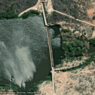
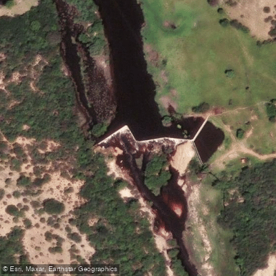
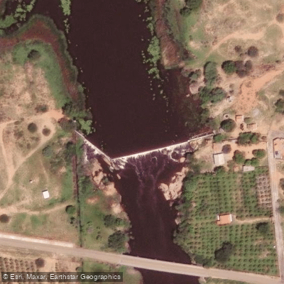
Learn how to get on Rio de Contas. Uncover great paddling access points, boat ramps, and all the facilities you need for an unforgettable day on the water. Some locations shown may border or include private property. Always check property boundaries and applicable regulations before visiting. PaddleWays's Public & Private Land layer can help you plan your access with confidence.
Paddle smarter with real-time insights
Whether you're en route and conditions shift or you're looking for the best spot based on current flows, we enable you to make informed decisions on the fly.







Bahia licenses and regulations
No licenses or regulations available for Bahia.
Find Places to Paddle

Over 400,000 Places to Paddle
Every user gets free access to launch points, boat ramps, and public property parcels.


Water and weather conditions (10 day forecast)
See the best times to paddle Rio de Contas and check the forecast before you go.
Gerais
All Flow Stations
Explore Bahia waters
Top paddling waters
No waters available right now.
Popular Cities
Loading popular cities...
Explore near Rio de Contas
Access points
Nearby waters
More in Bahia

Smarter Paddling Starts in the App.
Paddleways gives you everything you need to plan smarter, paddle better, and own every trip from first launch to takeout.