Rio Paraguaçu
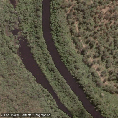
Rio Paraguaçu
- Boat Ramps
- 0
- Access Points
- 1
- Campsites
- 3
The Rio Paraguaçu is the largest river entirely within Bahia state, running approximately 500 kilometers from the Chapada Diamantina highlands of central Bahia eastward to its mouth at the Baía de Todos os Santos. Its drainage basin covers roughly 54,877 square kilometers, and the river carries an average discharge of around 103 cubic meters per second.
The navigable portion of the river extends approximately 40 kilometers upstream from the river's mouth, reaching as far as the municipality of Cachoeira. This lower stretch passes through the Recôncavo, a historically significant agricultural region where sugar cane and tobacco cultivation shaped the landscape for centuries. The twin cities of Cachoeira and São Félix sit on opposite banks of the river and are notable for their well-preserved colonial-era architecture, including convents and churches. The town of Maragojipe lies closer to the river's mouth. This lower reach also borders the Baía do Iguape Marine Extractive Reserve, a protected area established in 2000.
The upper course of the river, originating in the Chapada Diamantina, passes through towns including Andaraí and Itaetê, and the region around the upper course is associated with diamond extraction. The transition from highland to coastal lowland gives the river a varied character along its length, though only the lower 40 kilometers are considered navigable.
Paddlers considering this river should note that the navigable window is relatively short and concentrated in the tidal lower reaches approaching the Baía de Todos os Santos. The presence of the Marine Extractive Reserve in the lower reaches may carry specific use regulations that should be confirmed with Brazilian environmental authorities before planning a trip.
Water access, boat ramps & amenities
Learn how to get on Rio Paraguaçu. Uncover great paddling access points, boat ramps, and all the facilities you need for an unforgettable day on the water. Some locations shown may border or include private property. Always check property boundaries and applicable regulations before visiting. PaddleWays's Public & Private Land layer can help you plan your access with confidence.
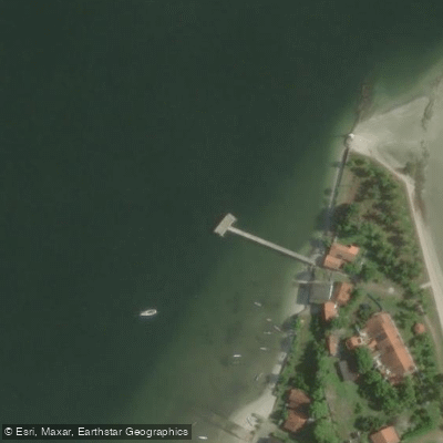
Paddle smarter with real-time insights
Whether you're en route and conditions shift or you're looking for the best spot based on current flows, we enable you to make informed decisions on the fly.







Bahia licenses and regulations
No licenses or regulations available for Bahia.
Find Places to Paddle

Over 400,000 Places to Paddle
Every user gets free access to launch points, boat ramps, and public property parcels.


Water and weather conditions (10 day forecast)
See the best times to paddle Rio Paraguaçu and check the forecast before you go.
Rio Paraguaçu (Próximo A Mucugê)
All Flow Stations
Paddling near Rio Paraguaçu
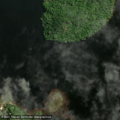
Rio Jacuípe
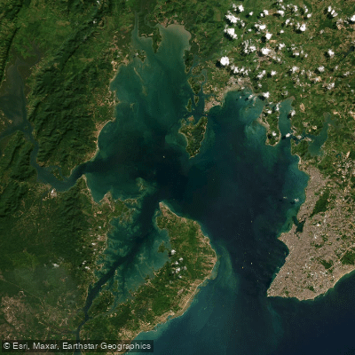
Baía de Todos os Santos
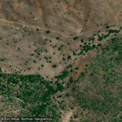
Rio da Barra
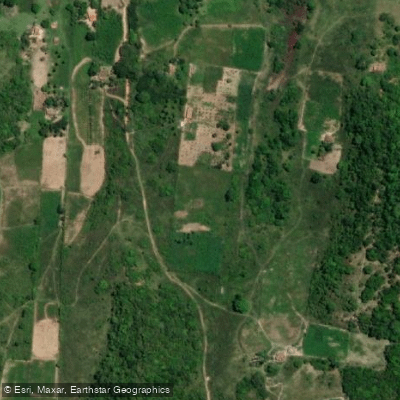
Rio Una
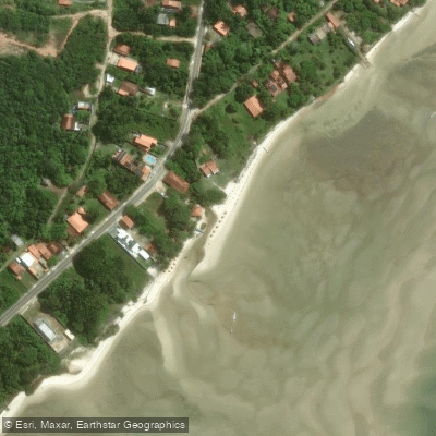
Praia de Monte Cristo
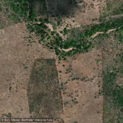
Rio do Caldeirão
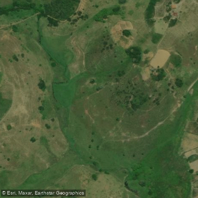
Rio Cachoeirinha
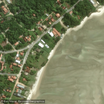
Praia de Araripe
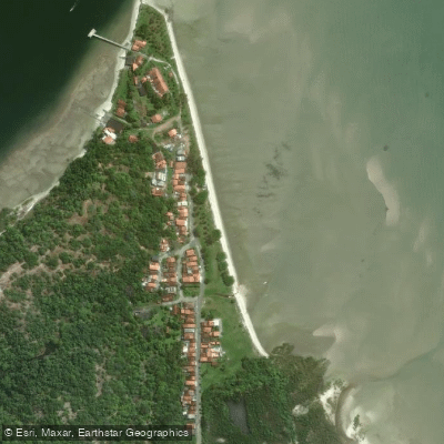
Praia da Barra do Paraguaçu
Explore Bahia waters
Top paddling waters
No waters available right now.
Popular Cities
Loading popular cities...
Explore near Rio Paraguaçu

Smarter Paddling Starts in the App.
Paddleways gives you everything you need to plan smarter, paddle better, and own every trip from first launch to takeout.