Rio Roncador
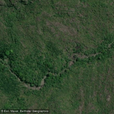
Rio Roncador
- Boat Ramps
- 0
- Access Points
- 0
- Campsites
- 0
Rio Roncador is a river in the Chapada Diamantina region of Bahia, located between the towns of Lençóis and Andaraí. It is best known for its pink sandstone formations, which erosion has carved into a series of natural pools, small waterfalls, and smooth rock slides — features locally referred to as "caldeirões" or natural jacuzzis. The water is clear and suitable for swimming throughout the pools.
The standard approach to the river is via the Quilombola community of Remanso, reached by approximately 30 minutes on asphalt road followed by an hour on dirt road from Lençóis. From Remanso, paddlers and visitors board a canoe or small boat and travel roughly 1.5 hours through the Marimbus wetland — a large flooded area formed by the convergence of Rio Santo Antônio and Rio Utinga — before reaching the Roncador area. The Marimbus section features calm, maze-like waterways threading through aquatic plants and water lilies, with the Serra do Sincorá mountains as a backdrop. Wildlife visible along this stretch includes birds and Capuchin monkeys; capybaras and caimans are occasionally spotted as well.
After the canoe portion, a roughly 20-minute walk leads to the Roncador pools and waterfall. The name "Roncador" derives from the sound of water striking the rocks. Return to Remanso can be made either by canoe or on foot through forest trails, with the foot crossing of the river itself done on foot when water levels are low, or by boat when levels are high — indicating that water levels vary seasonally and can affect access.
The overall difficulty of the full-day outing is rated low (level 2 out of 5), and it is suitable for most visitors. Tours are typically organized out of Lençóis and are guided, often with community guides from Remanso. Lunch is served at an old farm along the route. The trip is commonly run as a full-day excursion of approximately 8 hours. Independent access to the river is possible via trail, with the trailhead reachable by vehicle, though guided canoe tours through Marimbus represent the most common approach.
Water access, boat ramps & amenities
Learn how to get on Rio Roncador. Uncover great paddling access points, boat ramps, and all the facilities you need for an unforgettable day on the water. Some locations shown may border or include private property. Always check property boundaries and applicable regulations before visiting. PaddleWays's Public & Private Land layer can help you plan your access with confidence.
Paddle smarter with real-time insights
Whether you're en route and conditions shift or you're looking for the best spot based on current flows, we enable you to make informed decisions on the fly.







Bahia licenses and regulations
No licenses or regulations available for Bahia.
Find Places to Paddle

Over 400,000 Places to Paddle
Every user gets free access to launch points, boat ramps, and public property parcels.


Water and weather conditions (10 day forecast)
See the best times to paddle Rio Roncador and check the forecast before you go.
No forecast data available.
Explore Bahia waters
Top paddling waters
No waters available right now.
Popular Cities
Loading popular cities...
Explore near Rio Roncador

Smarter Paddling Starts in the App.
Paddleways gives you everything you need to plan smarter, paddle better, and own every trip from first launch to takeout.