Rio Santo Antônio
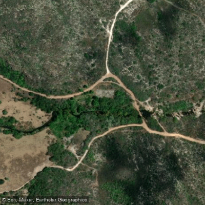
Rio Santo Antônio
- Boat Ramps
- 0
- Access Points
- 0
- Campsites
- 1
The Rio Santo Antônio is a river in Bahia state, eastern Brazil, flowing through the Chapada Diamantina region as a tributary of the Paraguaçu River. Its mouth is located at approximately 12°46′S, 41°16′W. Together with the Rio Utinga, it feeds the Marimbus wetlands, a large swamp and semi-wetland area where the two rivers converge.
The Marimbus area formed by the Rio Santo Antônio and Rio Utinga is the primary draw for paddlers in this region. Canoe trips through the Marimbus marsh are characterized by calm, navigable waters that wind through mazes of water lilies, with the Serra do Sincora mountains providing the surrounding backdrop. Organized canoe tours of approximately 1.5 hours operate through this wetland zone. The varied flora and fauna of the convergence area are notable features, with birds and Capuchin monkeys commonly observed along the route. Capybaras and caimans are also present in the area, though sightings are less frequent.
Given the presence of caimans in the wetlands, paddlers should be aware of this wildlife when on the water. The Marimbus region is part of the broader Chapada Diamantina ecosystem, and the calm water character of the marsh makes it accessible for canoe-based exploration rather than technical whitewater paddling.
Water access, boat ramps & amenities
Learn how to get on Rio Santo Antônio. Uncover great paddling access points, boat ramps, and all the facilities you need for an unforgettable day on the water. Some locations shown may border or include private property. Always check property boundaries and applicable regulations before visiting. PaddleWays's Public & Private Land layer can help you plan your access with confidence.
Paddle smarter with real-time insights
Whether you're en route and conditions shift or you're looking for the best spot based on current flows, we enable you to make informed decisions on the fly.







Bahia licenses and regulations
No licenses or regulations available for Bahia.
Find Places to Paddle

Over 400,000 Places to Paddle
Every user gets free access to launch points, boat ramps, and public property parcels.


Water and weather conditions (10 day forecast)
See the best times to paddle Rio Santo Antônio and check the forecast before you go.
No forecast data available.
Explore Bahia waters
Top paddling waters
No waters available right now.
Popular Cities
Loading popular cities...
Explore near Rio Santo Antônio
Access points
Nearby waters
More in Bahia

Smarter Paddling Starts in the App.
Paddleways gives you everything you need to plan smarter, paddle better, and own every trip from first launch to takeout.