Açude Cedro
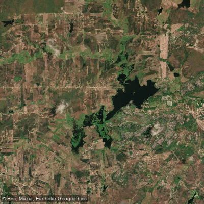
Açude Cedro
- Boat Ramps
- 0
- Access Points
- 0
- Campsites
- 0
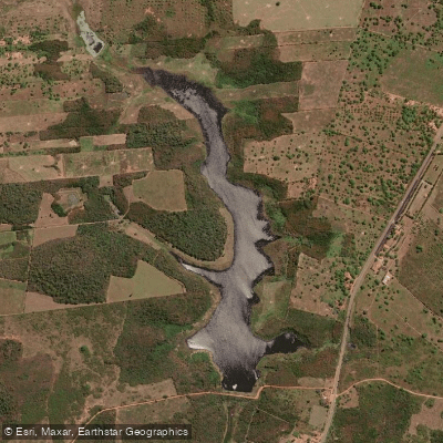
Açude Cedro is a historic reservoir located in Quixadá, in the central sertão of Ceará, Brazil. With a storage capacity of 125 million cubic meters — equivalent to roughly 50,000 Olympic swimming pools — it is a substantial body of water set against the dramatic rocky landscape that characterizes the Quixadá region. The reservoir sits at the foot of striking granite monolith formations, including the prominent Galinha Choca rock formation, which frames the water and gives the area a distinctive visual character.
The reservoir holds considerable historical significance: it was the first major public water infrastructure project built in Brazil, conceived during the Imperial era as a response to the severe droughts that afflicted the northeastern sertão. Construction was designed by British engineer Jules Jean Revy beginning in 1882 and completed in 1906. The dam itself features ornamental ironwork railings and stone pillars along its crest, with the ironwork produced by the Scottish firm Walter Macfarlane and Co. The structure was listed as a heritage site by IPHAN in 1984 and has been included on Brazil's indicative list for UNESCO World Heritage status since 2015. The local DNOCS office, which administers the reservoir, is housed in a building on site.
For paddlers, canoe trips on the reservoir offer a way to experience the water and the surrounding monolithic rock formations from the surface. The dam's crest walkway provides views over the reservoir. Visitor amenities at the site are limited — there are no food stalls or developed tourist infrastructure, so paddlers should plan accordingly and bring their own supplies.
The reservoir faces challenges from irregular rainfall and high evaporation rates typical of the semi-arid sertão climate, which can affect water levels. These conditions are worth factoring into trip planning, as water levels may vary considerably depending on recent rainfall patterns in the region.
Water access, boat ramps & amenities
Learn how to get on Açude Cedro. Uncover great paddling access points, boat ramps, and all the facilities you need for an unforgettable day on the water. Some locations shown may border or include private property. Always check property boundaries and applicable regulations before visiting. PaddleWays's Public & Private Land layer can help you plan your access with confidence.
Paddle smarter with real-time insights
Whether you're en route and conditions shift or you're looking for the best spot based on current flows, we enable you to make informed decisions on the fly.







Ceará licenses and regulations
No licenses or regulations available for Ceará.
Find Places to Paddle

Over 400,000 Places to Paddle
Every user gets free access to launch points, boat ramps, and public property parcels.


Water and weather conditions (10 day forecast)
See the best times to paddle Açude Cedro and check the forecast before you go.
Açude Cedro
Paddling near Açude Cedro
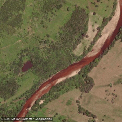
Rio Choró
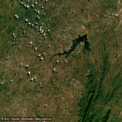
Açude Castanhão
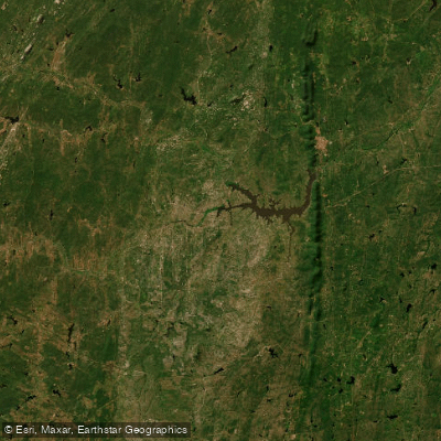
Açude Arrojado Lisboa (Ou Açude Banabuiú)
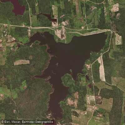
Açude Macacos
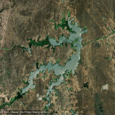
Açude Riacho Do Sangue
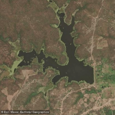
Açude
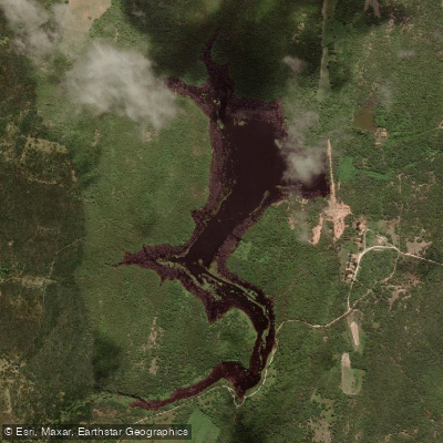
Açude Serrote Do Mato
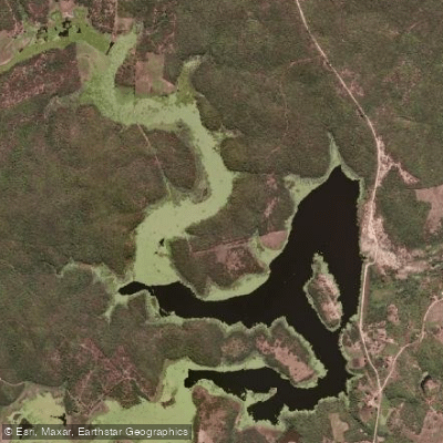
Açude
Açude Riacho Do Padre
Explore Ceará waters
Top paddling waters
No waters available right now.
Popular Cities
Loading popular cities...
Explore near Açude Cedro

Smarter Paddling Starts in the App.
Paddleways gives you everything you need to plan smarter, paddle better, and own every trip from first launch to takeout.