Açude Riacho Do Sangue
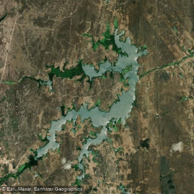
Açude Riacho Do Sangue
- Boat Ramps
- 0
- Access Points
- 0
- Campsites
- 0
Açude Riacho do Sangue, also commonly known as Boqueirão, is a reservoir located in the municipality of Solonópole in the state of Ceará, Brazil, at approximately 5°42'S, 38°58'W. It was built on the bed of the Riacho do Sangue and is part of the Médio Jaguaribe basin. The reservoir is managed by DNOCS (the federal agency responsible for water infrastructure in the Brazilian Northeast).
The dam structure is 308 meters long, 86.5 meters wide at the base, and 6 meters wide at the crest, with a height of 21 meters. The reservoir has a total storage capacity of approximately 58.43 to 61.5 million cubic meters (hm³), and its drainage basin covers 1,368.58 km². The maximum water level elevation is 118 meters above sea level. These dimensions suggest a substantial body of water when at or near full capacity, which it reached in March 2023 for the first time in 12 years — an indication that water levels in this semi-arid region can fluctuate dramatically depending on rainfall patterns.
The reservoir sits in the Sertão (semi-arid interior) of Ceará, a region characterized by irregular and seasonal rainfall. Water levels can vary considerably from year to year, which is an important planning consideration for paddlers. The construction of the reservoir began in October 1915 and was completed in January 1918, making it a historically significant piece of water infrastructure in the region.
No paddling-specific access points, facilities, restrictions, or regulated routes are documented for this reservoir. Paddlers should contact DNOCS or the Secretaria dos Recursos Hídricos do Ceará (SRH-CE) before visiting to confirm current water levels and any applicable regulations governing recreational use of the reservoir.
Water access, boat ramps & amenities
Learn how to get on Açude Riacho Do Sangue. Uncover great paddling access points, boat ramps, and all the facilities you need for an unforgettable day on the water. Some locations shown may border or include private property. Always check property boundaries and applicable regulations before visiting. PaddleWays's Public & Private Land layer can help you plan your access with confidence.
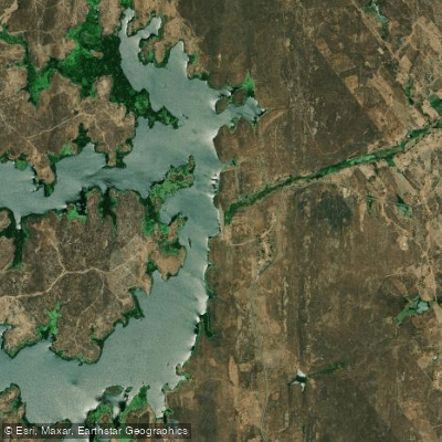
Paddle smarter with real-time insights
Whether you're en route and conditions shift or you're looking for the best spot based on current flows, we enable you to make informed decisions on the fly.







Ceará licenses and regulations
No licenses or regulations available for Ceará.
Find Places to Paddle

Over 400,000 Places to Paddle
Every user gets free access to launch points, boat ramps, and public property parcels.


Water and weather conditions (10 day forecast)
See the best times to paddle Açude Riacho Do Sangue and check the forecast before you go.
Riacho Do Sangue - Canal De Fuga
All Flow Stations
Paddling near Açude Riacho Do Sangue
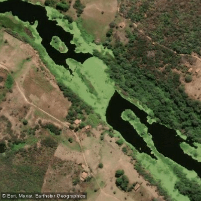
Rio Jaguaribe
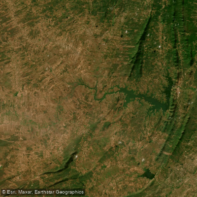
Açude Orós
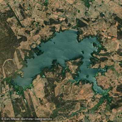
Açude Ubaldinho
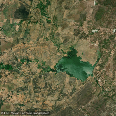
Açude Lima Campos
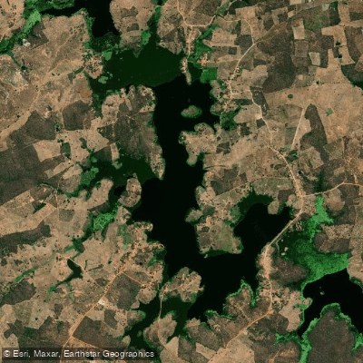
Açude Faé
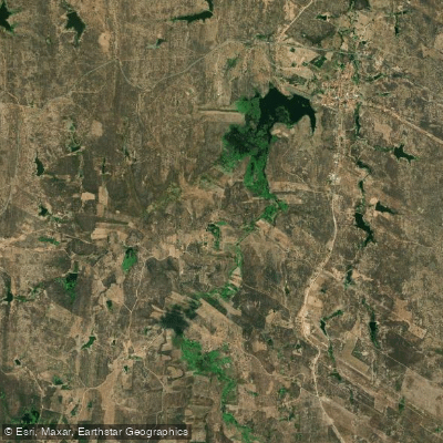
Açude Joaquim Távora
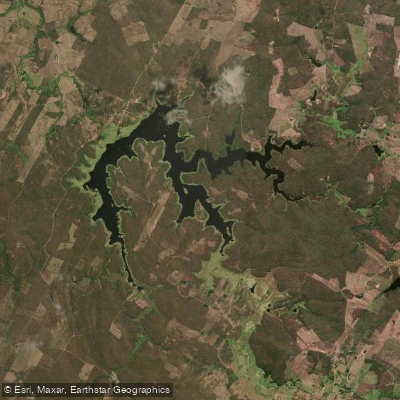
Açude São José Ii
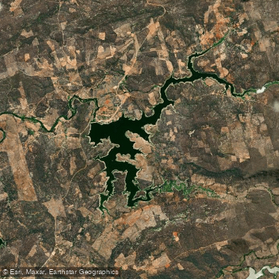
Açude Rivaldo De Carvalho
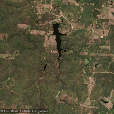
Açude Riacho Do Tigre
Explore Ceará waters
Top paddling waters
No waters available right now.
Popular Cities
Loading popular cities...
Explore near Açude Riacho Do Sangue

Smarter Paddling Starts in the App.
Paddleways gives you everything you need to plan smarter, paddle better, and own every trip from first launch to takeout.