Rio Choró
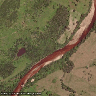
Rio Choró
- Boat Ramps
- 0
- Access Points
- 0
- Campsites
- 0
The Rio Choró is one of the principal waterways of Ceará state in northeastern Brazil, stretching approximately 205 kilometers from its headwaters in the Serra do Teixeira, near the municipality of Choró, to its mouth at the Atlantic Ocean. The river drains a watershed of roughly 5,000 square kilometers and receives contributions from notable tributaries including the Aracoiaba and Castro rivers along its course.
The river's name derives from the Tupi-Guarani word "chorron," meaning "to murmur," a reference to the sound of its waters. Along its length, the Rio Choró supports riparian communities through water supply, agriculture, and artisanal fishing, giving the corridor a working, inhabited character rather than a remote wilderness feel.
At its mouth near Praia de Barra Nova, in the municipality of Cascavel, the river forms an estuary where mangroves, dunes, and estuarine channels converge. This coastal zone marks the boundary between the municipalities of Cascavel and Beberibe. The mouth coordinates are approximately 4°6′S, 38°9′W. The estuary at Barra Nova is recognized for its ecological significance and is subject to preservation efforts, though it also faces pressure from urban expansion.
For paddlers interested in the river mouth area, tidal dynamics are relevant: at high tide, the Rio Choró estuary produces flatwater lagoon conditions suitable for calm paddling, while falling tides alter the character of the water considerably. The area around Barra Nova is also used by kitesurfers, which is worth noting when planning access to the estuary. The broader coastal zone east of Fortaleza, where the river mouth sits, benefits from consistent trade winds from roughly August through February, which can affect open-water paddling conditions near the mouth.
The estuary ecosystem — combining mangroves, dunes, and tidal channels — provides habitat for wildlife and offers visual interest for paddlers exploring the lower river. The area is considered a significant natural and cultural landmark for the region of Cascavel.
Water access, boat ramps & amenities
Learn how to get on Rio Choró. Uncover great paddling access points, boat ramps, and all the facilities you need for an unforgettable day on the water. Some locations shown may border or include private property. Always check property boundaries and applicable regulations before visiting. PaddleWays's Public & Private Land layer can help you plan your access with confidence.
Paddle smarter with real-time insights
Whether you're en route and conditions shift or you're looking for the best spot based on current flows, we enable you to make informed decisions on the fly.







Ceará licenses and regulations
No licenses or regulations available for Ceará.
Find Places to Paddle

Over 400,000 Places to Paddle
Every user gets free access to launch points, boat ramps, and public property parcels.


Water and weather conditions (10 day forecast)
See the best times to paddle Rio Choró and check the forecast before you go.
Açude Pompeu Sobrinho
All Flow Stations
Paddling near Rio Choró
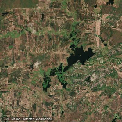
Açude Cedro
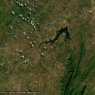
Açude Castanhão
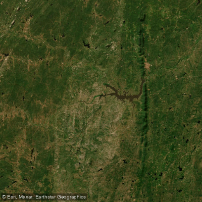
Açude Arrojado Lisboa (Ou Açude Banabuiú)
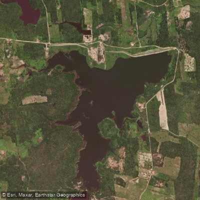
Açude Macacos
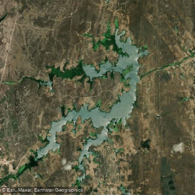
Açude Riacho Do Sangue
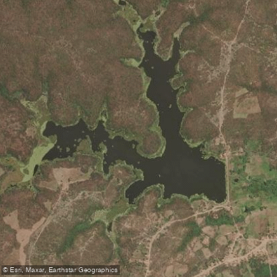
Açude
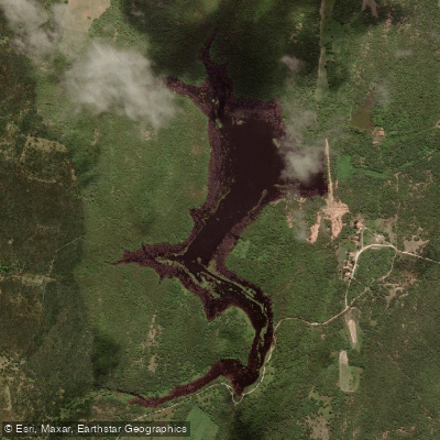
Açude Serrote Do Mato
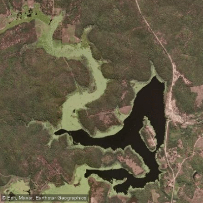
Açude
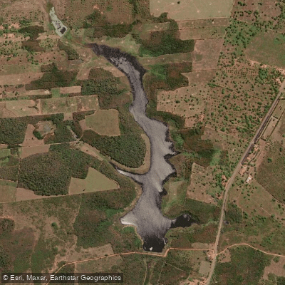
Açude Riacho Do Padre
Explore Ceará waters
Top paddling waters
No waters available right now.
Popular Cities
Loading popular cities...
Explore near Rio Choró

Smarter Paddling Starts in the App.
Paddleways gives you everything you need to plan smarter, paddle better, and own every trip from first launch to takeout.