Rio Jaguaribe
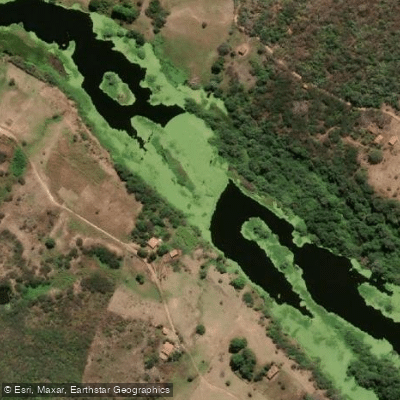
Rio Jaguaribe
- Boat Ramps
- 1
- Access Points
- 0
- Campsites
- 2
The Rio Jaguaribe is the longest river in Ceará, stretching approximately 633 kilometers from its headwaters near Tauá in the south of the state to its mouth at the Atlantic Ocean near the town of Fortim. It is formed by the union of the Carrapateiras and Trici rivers in the municipality of Tauá, both originating in the Serra Grande. From there the river flows generally northward before entering the sea.
The river's defining characteristic is its extreme seasonal variability. Long dry periods during which much of the river runs dry are followed by sudden, catastrophic floods that can inundate towns along the lower course. This unpredictability is a fundamental safety consideration for any paddler planning a trip. Two large dams regulate portions of the river — the Orós Dam, completed in 1960, and the Castanhão Dam, completed in 2003 — which affect flow conditions in the middle sections.
Near Tauá, toward the upper reaches, the river is sandy and relatively narrow, ranging from roughly 50 to 100 meters in width. In the lower reaches near Fortim, the river broadens into a system of channels and islands with abundant birdlife, fish, and riparian vegetation, including drought-resistant carnauba palms along the banks. The meeting of river and sea near Fortim is a notable feature, where fresh and salt water mix in the estuary. The town of Fortim, approximately 118 kilometers from Fortaleza, sits on the river's banks and offers views of the estuary from the Barra Viewpoint. Fishing and water sports boats are commonly seen sharing the water in this lower section.
Near the coast around Canoa Quebrada, the river is associated with kite-surfing activity, reflecting the strong coastal winds characteristic of this stretch of the Ceará coastline. Common snook and fat snook inhabit the river, particularly in the lower reaches near the coast.
Paddlers should treat the river's seasonal flow regime as the primary planning factor, as conditions can shift dramatically between drought and flood, and large dam infrastructure along the course introduces additional variables in water levels.
Water access, boat ramps & amenities
Learn how to get on Rio Jaguaribe. Uncover great paddling access points, boat ramps, and all the facilities you need for an unforgettable day on the water. Some locations shown may border or include private property. Always check property boundaries and applicable regulations before visiting. PaddleWays's Public & Private Land layer can help you plan your access with confidence.
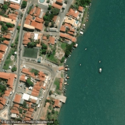
Paddle smarter with real-time insights
Whether you're en route and conditions shift or you're looking for the best spot based on current flows, we enable you to make informed decisions on the fly.







Ceará licenses and regulations
No licenses or regulations available for Ceará.
Find Places to Paddle

Over 400,000 Places to Paddle
Every user gets free access to launch points, boat ramps, and public property parcels.


Water and weather conditions (10 day forecast)
See the best times to paddle Rio Jaguaribe and check the forecast before you go.
Açude Trici
All Flow Stations
Paddling near Rio Jaguaribe
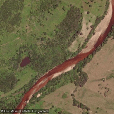
Rio Choró
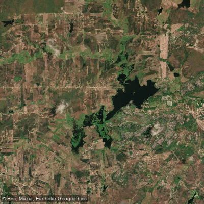
Açude Cedro
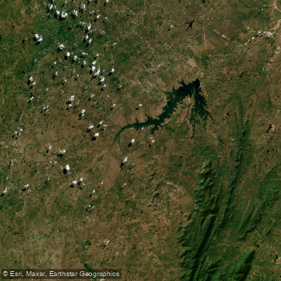
Açude Castanhão
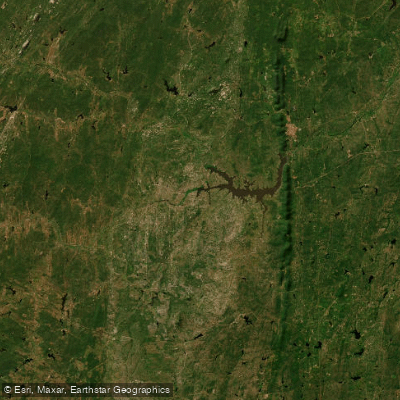
Açude Arrojado Lisboa (Ou Açude Banabuiú)
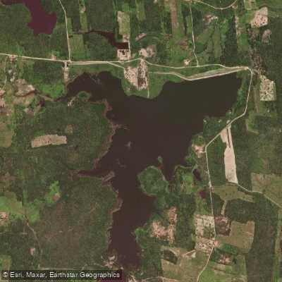
Açude Macacos
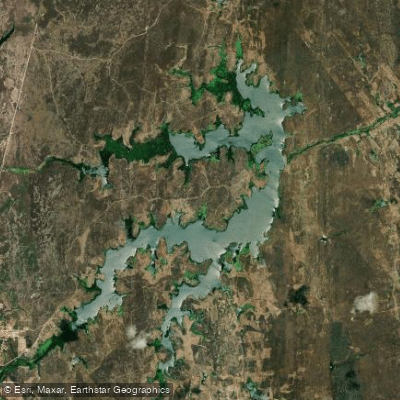
Açude Riacho Do Sangue
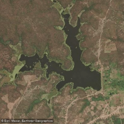
Açude
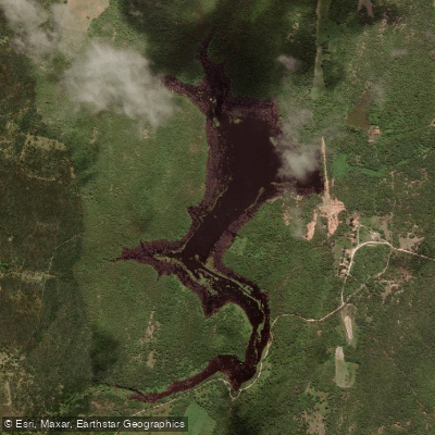
Açude Serrote Do Mato
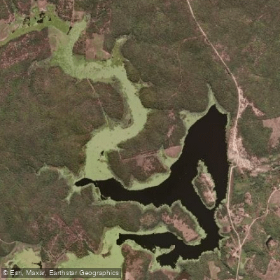
Açude
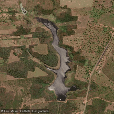
Açude Riacho Do Padre
Explore Ceará waters
Top paddling waters
No waters available right now.
Popular Cities
Loading popular cities...
Explore near Rio Jaguaribe

Smarter Paddling Starts in the App.
Paddleways gives you everything you need to plan smarter, paddle better, and own every trip from first launch to takeout.