Açude Araras
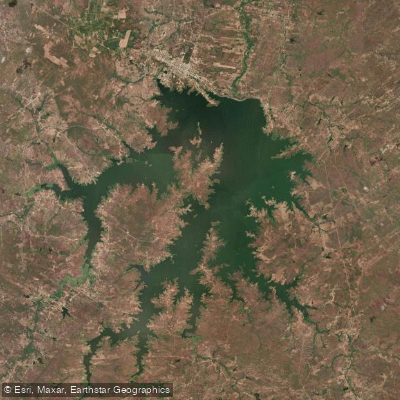
Açude Araras
- Boat Ramps
- 0
- Access Points
- 0
- Campsites
- 0
Açude Araras, officially known as Açude Público Paulo Sarasate, is a large reservoir located in the municipality of Varjota in the northwestern portion of Ceará, approximately 250–280 km from Fortaleza (roughly four hours by car). Built across the bed of the rio Acaraú, the dam was inaugurated on July 31, 1958, and borders the municipalities of Varjota, Pires Ferreira, Hidrolândia, and Santa Quitéria. It ranks as the fourth largest freshwater reservoir in Ceará, with a current storage capacity of approximately 859,533,000 m³ due to decades of sedimentation from its original one-billion-cubic-meter design capacity.
When at full pool, the reservoir presents roughly 2,800 hectares of open water surface with good depth and varied underwater structure, including rocky outcrops, points, and islands. This structural diversity gives the water body a varied character, with open stretches alternating with more sheltered coves and shoreline features. The surrounding landscape is typical of the semi-arid sertão of northwestern Ceará. Sunsets viewed from the margins are considered particularly striking in the region.
The reservoir supports a notable fish population, including tilápia, tucunaré (peacock bass), and native traíra. Tucunaré congregate around rocky structures and points, a pattern well known to local anglers and relevant for paddlers who may encounter fishing activity on the water. Artisanal fishing and net-cage aquaculture are active on the reservoir, so paddlers should be aware of fixed structures and fishing gear in the water.
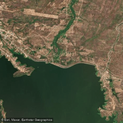
Access to the reservoir area is via the BR-222 federal highway from Fortaleza toward Sobral, then the CE-183 to Varjota. The reservoir draws visitors particularly during periods of high water when overflow creates waterfall formations at the spillway, a notable visual feature of the site. The surrounding area supports irrigated agriculture and serves as a water supply source for several municipalities, meaning water management operations are ongoing. Basic access infrastructure exists at the site.
Water access, boat ramps & amenities
Learn how to get on Açude Araras. Uncover great paddling access points, boat ramps, and all the facilities you need for an unforgettable day on the water. Some locations shown may border or include private property. Always check property boundaries and applicable regulations before visiting. PaddleWays's Public & Private Land layer can help you plan your access with confidence.
Paddle smarter with real-time insights
Whether you're en route and conditions shift or you're looking for the best spot based on current flows, we enable you to make informed decisions on the fly.







Ceará licenses and regulations
No licenses or regulations available for Ceará.
Find Places to Paddle

Over 400,000 Places to Paddle
Every user gets free access to launch points, boat ramps, and public property parcels.


Water and weather conditions (10 day forecast)
See the best times to paddle Açude Araras and check the forecast before you go.
Açude Araras
All Flow Stations
Paddling near Açude Araras
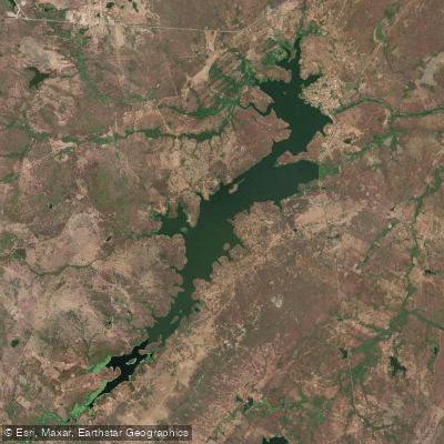
Açude Aires De Souza
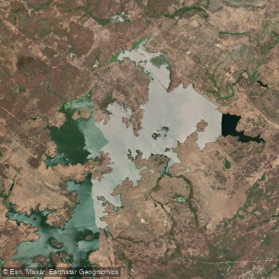
Açude Taquara
Rio Aracatiaçu
Rio do Pajé
Açude Acaraú-Mirim
Açude Forquilha
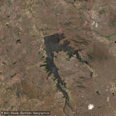
Açude Edson Queiroz
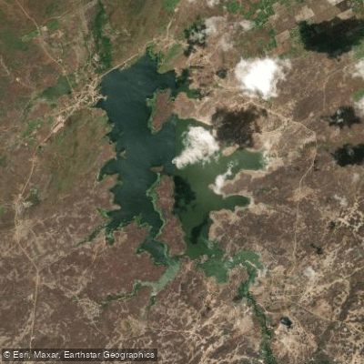
Açude Tucunduba
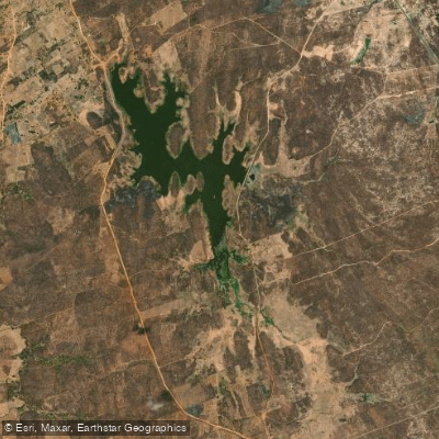
Açude Arrebita
Explore Ceará waters
Top paddling waters
No waters available right now.
Popular Cities
Loading popular cities...
Explore near Açude Araras

Smarter Paddling Starts in the App.
Paddleways gives you everything you need to plan smarter, paddle better, and own every trip from first launch to takeout.