Açude Forquilha
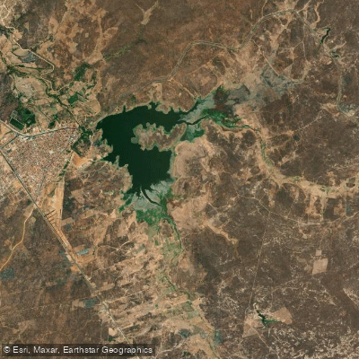
Açude Forquilha
- Boat Ramps
- 0
- Access Points
- 0
- Campsites
- 0
Açude Forquilha is a large inland reservoir located entirely within the municipality of Forquilha in the northern region of Ceará, approximately 220 kilometers from Fortaleza. It sits within the drainage basin of the Rio Acaraú and has a storage capacity exceeding 50 million cubic meters, making it the largest hydraulic infrastructure in the Zona Norte of Ceará.
The reservoir is impounded by two homogeneous earthen dams. The main dam is notable for having the BR-222 federal highway running directly across its crest, which serves as a practical landmark for orientation. The auxiliary dam is positioned perpendicularly to the main structure. Construction began in 1919 and was completed in 1928, with the construction dates still visible on the upstream face of the main dam.
The reservoir is actively used for pisciculture, and fishing boats are commonly found moored along the margins. This working character means paddlers can expect to share the water with fishing activity. The surrounding landscape reflects the semi-arid conditions typical of the region, and the margins have been affected by deforestation, erosion, and sedimentation over the decades.
Water quality is a concern. Contamination from inadequate sanitation infrastructure in the surrounding communities, as well as runoff associated with erosion and deforestation of the watershed, affect the reservoir. Paddlers should be aware of these conditions when considering contact with the water.
The reservoir fills infrequently and has overflowed only a handful of times in its history, with recorded spill events in 1939, 1940, and 1950. Water levels can vary considerably depending on rainfall patterns in the semi-arid region, which should be factored into trip planning, particularly regarding access to launch points along the margins.
Water access, boat ramps & amenities
Learn how to get on Açude Forquilha. Uncover great paddling access points, boat ramps, and all the facilities you need for an unforgettable day on the water. Some locations shown may border or include private property. Always check property boundaries and applicable regulations before visiting. PaddleWays's Public & Private Land layer can help you plan your access with confidence.
Paddle smarter with real-time insights
Whether you're en route and conditions shift or you're looking for the best spot based on current flows, we enable you to make informed decisions on the fly.







Ceará licenses and regulations
No licenses or regulations available for Ceará.
Find Places to Paddle

Over 400,000 Places to Paddle
Every user gets free access to launch points, boat ramps, and public property parcels.


Water and weather conditions (10 day forecast)
See the best times to paddle Açude Forquilha and check the forecast before you go.
Açude Forquilha
Paddling near Açude Forquilha
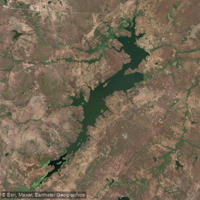
Açude Aires De Souza
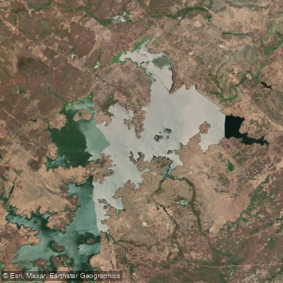
Açude Taquara
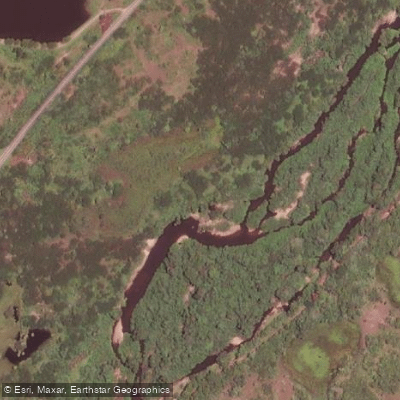
Rio Aracatiaçu
Rio do Pajé
Açude Acaraú-Mirim
Açude Araras
Açude Edson Queiroz
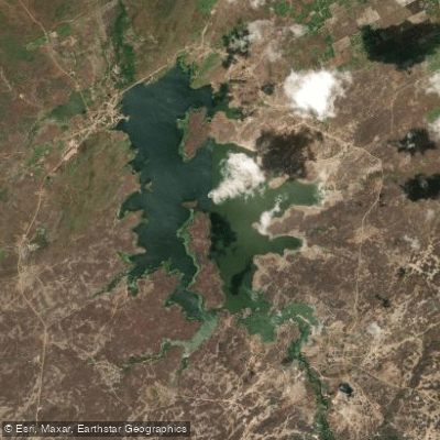
Açude Tucunduba
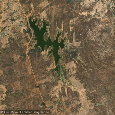
Açude Arrebita
Explore Ceará waters
Top paddling waters
No waters available right now.
Popular Cities
Loading popular cities...
Explore near Açude Forquilha

Smarter Paddling Starts in the App.
Paddleways gives you everything you need to plan smarter, paddle better, and own every trip from first launch to takeout.