Açude Ubaldinho
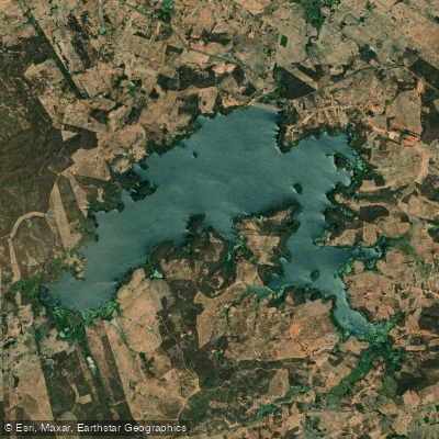
Açude Ubaldinho
- Boat Ramps
- 0
- Access Points
- 0
- Campsites
- 0
Açude Ubaldinho is a reservoir completed in 1999 with a storage capacity of 32,000,000 cubic meters. It sits within the Bacia do Salgado, straddling the boundary between the municipalities of Várzea Alegre and Cedro in the southern region of Ceará. The reservoir is fed by the Riacho São Miguel and serves as the primary potable water supply for the city of Cedro. The surrounding area is known locally as the Vale do São Miguel.
The main access route is via highway CE-284, the Cedro–Umarizeira road. The reservoir operates without restricted hours, remaining accessible around the clock. Along its shores there is an established balneário (bathing and recreation area) that draws visitors from across the southern Ceará region, making it one of the more frequented leisure destinations in that part of the state. A fishing colony is also present on site, indicating an active artisanal fishing community on the water.
Water levels fluctuate considerably with seasonal rainfall. The reservoir's surface elevation reaches approximately 293 meters above sea level during periods of good inflow, with notable rises recorded during the February rainy season. Paddlers should be aware that water levels and the extent of navigable surface area will vary depending on the time of year and recent precipitation patterns, which is typical of semi-arid northeastern Brazil reservoirs.
The reservoir functions primarily as a municipal water supply source, so paddlers should be mindful of that designation and any local regulations that may apply to activities on the water. The presence of the fishing colony and the recreational bathing area means the shoreline sees regular human activity, particularly at the balneário. The CE-284 highway provides the primary land access to the reservoir's vicinity.
Water access, boat ramps & amenities
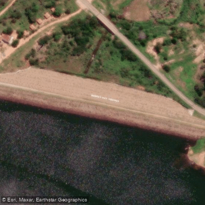
Learn how to get on Açude Ubaldinho. Uncover great paddling access points, boat ramps, and all the facilities you need for an unforgettable day on the water. Some locations shown may border or include private property. Always check property boundaries and applicable regulations before visiting. PaddleWays's Public & Private Land layer can help you plan your access with confidence.
Paddle smarter with real-time insights
Whether you're en route and conditions shift or you're looking for the best spot based on current flows, we enable you to make informed decisions on the fly.







Ceará licenses and regulations
No licenses or regulations available for Ceará.
Find Places to Paddle

Over 400,000 Places to Paddle
Every user gets free access to launch points, boat ramps, and public property parcels.


Water and weather conditions (10 day forecast)
See the best times to paddle Açude Ubaldinho and check the forecast before you go.
Açude Ubaldinho
Paddling near Açude Ubaldinho
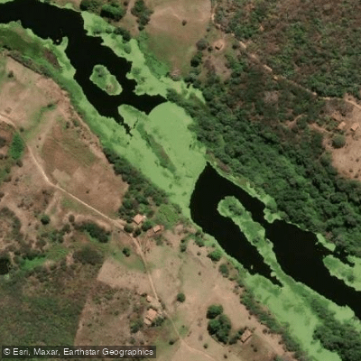
Rio Jaguaribe
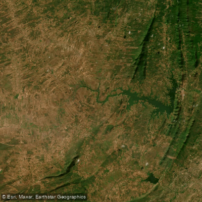
Açude Orós
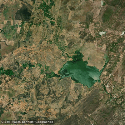
Açude Lima Campos
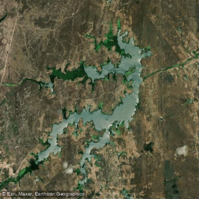
Açude Riacho Do Sangue
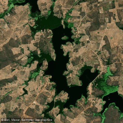
Açude Faé
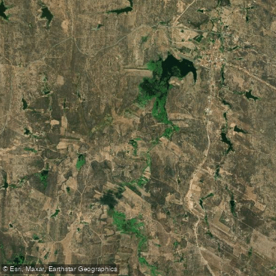
Açude Joaquim Távora
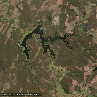
Açude São José Ii
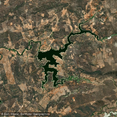
Açude Rivaldo De Carvalho
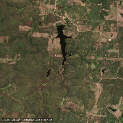
Açude Riacho Do Tigre
Explore Ceará waters
Top paddling waters
No waters available right now.
Popular Cities
Loading popular cities...
Explore near Açude Ubaldinho

Smarter Paddling Starts in the App.
Paddleways gives you everything you need to plan smarter, paddle better, and own every trip from first launch to takeout.