Rio Cocó
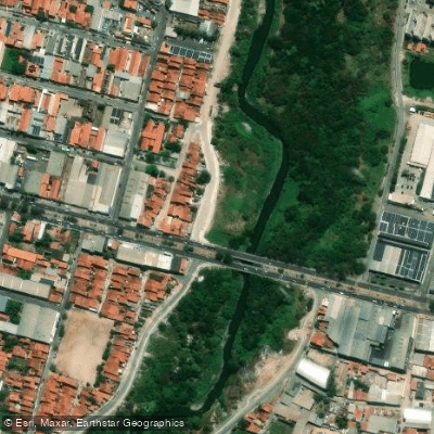
Rio Cocó
- Boat Ramps
- 0
- Access Points
- 0
- Campsites
- 0
The Rio Cocó flows through the heart of Fortaleza, Ceará, passing through the Parque Estadual do Cocó — one of the largest urban parks in South America. The park extends from the border zone between Fortaleza and Maracanaú to the river's mouth at Sabiaguaba, encompassing roughly 1,155 to 1,575 hectares of mangroves, dunes, and native Atlantic Forest. The river corridor within the park offers a notable contrast to the surrounding urban environment, with dense riparian vegetation lining much of the route.
Organized ecological boat tours on the Rio Cocó operate within the park and represent the primary paddling-style experience available to visitors. These tours typically run on weekends and holidays from morning until midday, and may require a separate fee or advance booking. Paddlers interested in these tours should confirm current schedules and booking requirements through the park's official channels before visiting, as arrangements are subject to change.
The main access point for the park is along Avenida Padre Antônio Tomás in the Cocó neighborhood of Fortaleza. The park can also be reached by public transit, including several bus lines and the VLT light rail (Papicu station). Park hours run from 5:30 to 22:00, though walking trails close earlier at 17:45.
Wildlife along the river is diverse. Paddlers can expect to encounter species including Cocoi Heron, Rufescent Tiger-Heron, Wattled Jacana, Purple Gallinule, various kingfishers, and multiple woodpecker species. The mangrove sections support molluscs, crustaceans, fish, and reptiles, including some species of conservation concern. Birdwatching is productive year-round.
Water access, boat ramps & amenities
Learn how to get on Rio Cocó. Uncover great paddling access points, boat ramps, and all the facilities you need for an unforgettable day on the water. Some locations shown may border or include private property. Always check property boundaries and applicable regulations before visiting. PaddleWays's Public & Private Land layer can help you plan your access with confidence.
Paddle smarter with real-time insights
Whether you're en route and conditions shift or you're looking for the best spot based on current flows, we enable you to make informed decisions on the fly.







Ceará licenses and regulations
No licenses or regulations available for Ceará.
Find Places to Paddle

Over 400,000 Places to Paddle
Every user gets free access to launch points, boat ramps, and public property parcels.


Water and weather conditions (10 day forecast)
See the best times to paddle Rio Cocó and check the forecast before you go.
Açude Gavião
All Flow Stations
Paddling near Rio Cocó
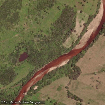
Rio Choró
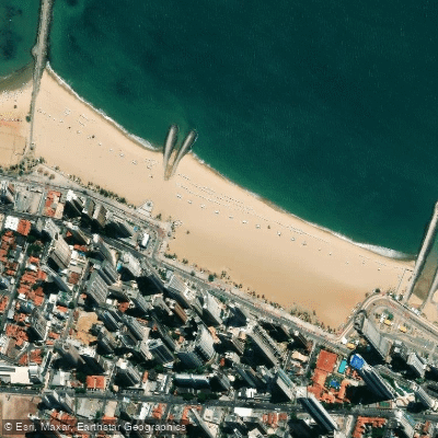
Praia de Iracema
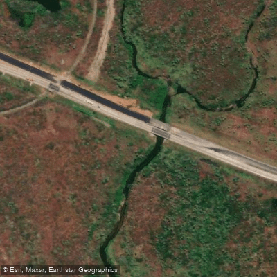
Rio Cauipe
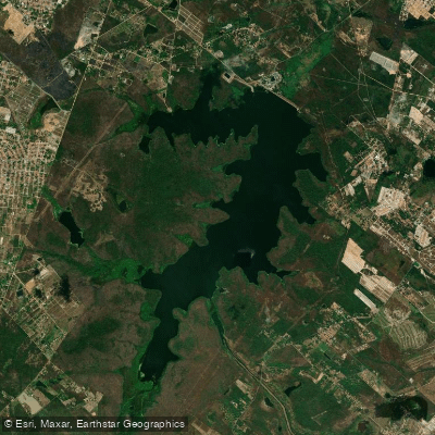
Açude Gavião
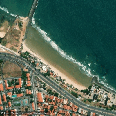
Praia Leste Oeste
Rio Malcozinhado
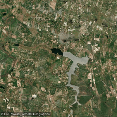
Açude Malcuzinhado
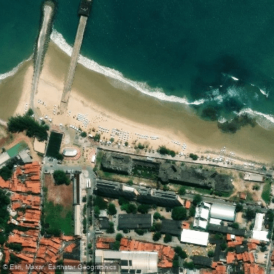
Praia do Havaizinho
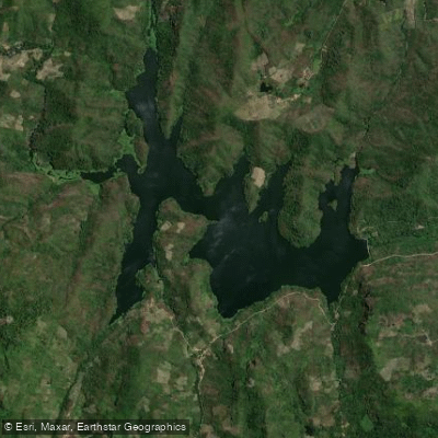
Açude Acarape Do Meio
Explore Ceará waters
Top paddling waters
No waters available right now.
Popular Cities
Loading popular cities...
Explore near Rio Cocó

Smarter Paddling Starts in the App.
Paddleways gives you everything you need to plan smarter, paddle better, and own every trip from first launch to takeout.