Açude Acarape Do Meio
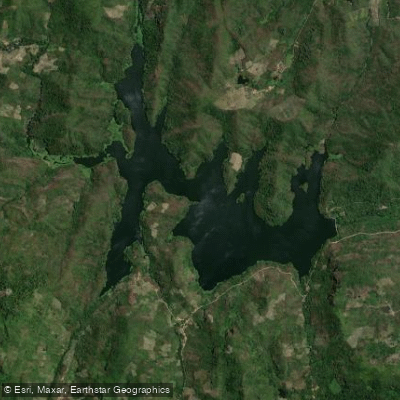
Açude Acarape Do Meio
- Boat Ramps
- 0
- Access Points
- 0
- Campsites
- 0
Açude Acarape do Meio, also known as Barragem Eugênio Gudin, is a reservoir located in the municipality of Redenção, in the Maciço de Baturité region of Ceará, approximately 65–75 km from Fortaleza. The reservoir sits at a cota (elevation) of around 133 meters and impounds the rio Pacoti along with waters from several smaller tributaries including the riachos Carrapicho, Gameleira, Jatobá, Baixa Grande, Mosquito, Cana Brava, Limão, Genipapo, Paú dos Ferros, Brenha, Piancó, and Calção.
The reservoir has a water surface area of approximately 220 hectares and a storage capacity of roughly 31.5 to 34.1 million cubic meters. The dam itself is a gravity-type masonry structure with a maximum height of approximately 32–33 meters and a crest length of around 267–350 meters. The spillway is 53–60 meters wide with a sill elevation of approximately 130 meters.
In terms of hydrology, the reservoir's inflow season typically begins by mid-February, with the high-water period lasting approximately 200 days. The spillway activates most frequently between the second half of March and the first half of April, and overflow can persist anywhere from 30 to 110 days depending on rainfall. The reservoir overtops nearly every year, which has implications for water levels and current conditions during the rainy season.
The reservoir is managed by the Companhia de Gestão dos Recursos Hídricos (COGERH) and serves as a strategic water supply source for several municipalities including Redenção, Acarape, Pacatuba, Guaiuba, Maranguape, and Barreira, as well as the Distrito Industrial de Maracanaú. Its primary function is water supply, and paddlers should be aware that this operational purpose may affect access and any applicable use restrictions. The surrounding watershed encompasses roughly 210 km² and includes the municipalities of Baturité, Guaiúba, Guaramiranga, Redenção, Pacoti, Mulungu, and Palmácia.
Water access, boat ramps & amenities
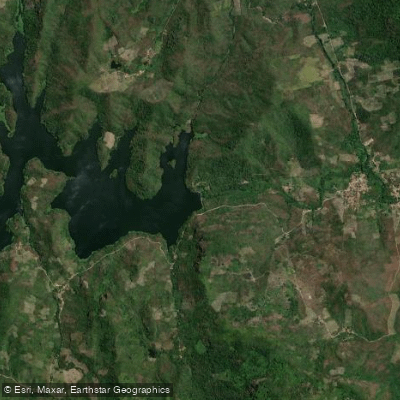
Learn how to get on Açude Acarape Do Meio. Uncover great paddling access points, boat ramps, and all the facilities you need for an unforgettable day on the water. Some locations shown may border or include private property. Always check property boundaries and applicable regulations before visiting. PaddleWays's Public & Private Land layer can help you plan your access with confidence.
Paddle smarter with real-time insights
Whether you're en route and conditions shift or you're looking for the best spot based on current flows, we enable you to make informed decisions on the fly.







Ceará licenses and regulations
No licenses or regulations available for Ceará.
Find Places to Paddle

Over 400,000 Places to Paddle
Every user gets free access to launch points, boat ramps, and public property parcels.


Water and weather conditions (10 day forecast)
See the best times to paddle Açude Acarape Do Meio and check the forecast before you go.
Açude Acarapé Do Meio
Paddling near Açude Acarape Do Meio
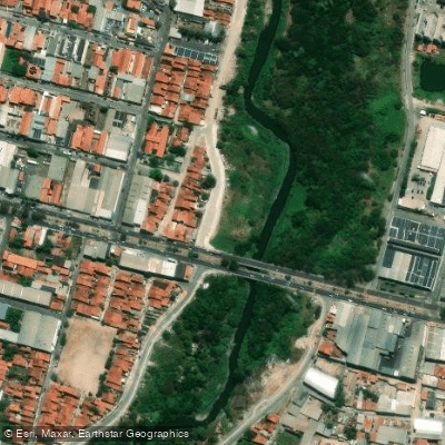
Rio Cocó
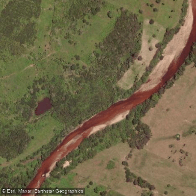
Rio Choró
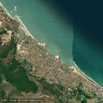
Praia de Icaraí
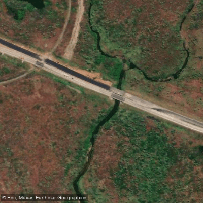
Rio Cauipe
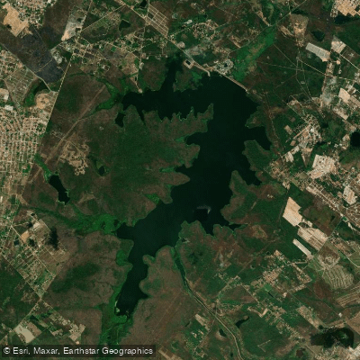
Açude Gavião
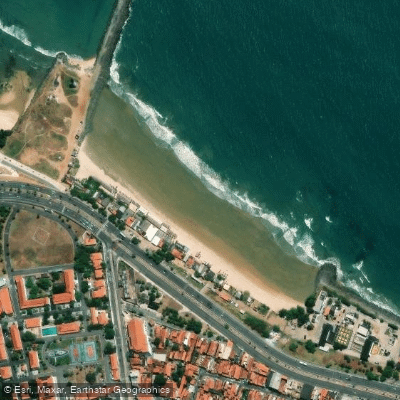
Praia Leste Oeste
Rio Malcozinhado
Açude Malcuzinhado
Praia do Cumbuco
Açude Caxitoré
Explore Ceará waters
Top paddling waters
No waters available right now.
Popular Cities
Loading popular cities...
Explore near Açude Acarape Do Meio

Smarter Paddling Starts in the App.
Paddleways gives you everything you need to plan smarter, paddle better, and own every trip from first launch to takeout.