Rio Jucu
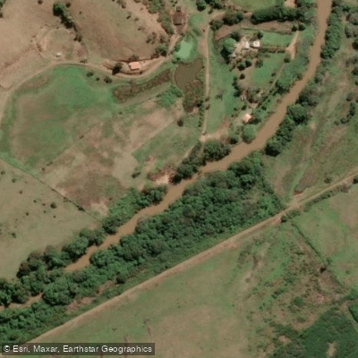
Rio Jucu
- Boat Ramps
- 0
- Access Points
- 0
- Campsites
- 0
The Rio Jucu is one of the most significant rivers in Espírito Santo state, originating in the Serra do Castelo near Pedra Azul in the municipality of Domingos Martins and flowing approximately 180 kilometers before emptying into the Atlantic Ocean at Vila Velha. Its two principal tributaries are the Rio Jucu Braço Norte and the Rio Jucu Braço Sul. The river supplies water to roughly 25% of the state's population, making it a critical resource for the greater Vitória metropolitan region.
The river's character varies considerably along its length. In its upper reaches it runs fast with frequent rapids, rated from Class I to Class V+ under normal water levels, with the possibility of reaching Class VI during the rainy season. This makes it a destination for whitewater rafting and kayaking across a wide range of skill levels. Where the river meets the Atlantic at Vila Velha, tidal influence during high tide produces a small tidal bore effect.
A well-established paddling route runs through the municipality of Viana, covering approximately 10 kilometers between Pedra da Mulata and Jucuruaba. This stretch takes roughly two hours to complete by kayak and passes through areas of preserved forest. Wildlife along this corridor includes capybaras, birds, and other fauna typical of the Atlantic Forest biome. The Viana municipal government has been developing this route as part of a formal adventure tourism program, with guided kayak trips offered at R$100 per person on scheduled dates.
The estuary at Vila Velha lies within the Jacarenema Ecological Reserve, a 307-hectare conservation area where mangroves line the riverbanks. This lower section has experienced pollution from wastewater and garbage carried downstream from upriver areas. Water quality is a known concern throughout the river's course, and at least one long-running paddling organization suspended its annual descent from Jucuruaba to Barra do Jucu due to excessive pollution levels. Paddlers should verify current water quality conditions before planning any trip, particularly for routes in the lower and middle sections of the river.
The river holds considerable historical importance as the waterway that enabled early exploration of the interior of what are now the municipalities of Vila Velha, Cariacica, and Viana. Its name derives from an indigenous word for a cinnamon tree.
Water access, boat ramps & amenities
Learn how to get on Rio Jucu. Uncover great paddling access points, boat ramps, and all the facilities you need for an unforgettable day on the water. Some locations shown may border or include private property. Always check property boundaries and applicable regulations before visiting. PaddleWays's Public & Private Land layer can help you plan your access with confidence.
Paddle smarter with real-time insights
Whether you're en route and conditions shift or you're looking for the best spot based on current flows, we enable you to make informed decisions on the fly.







Espírito Santo licenses and regulations
No licenses or regulations available for Espírito Santo.
Find Places to Paddle

Over 400,000 Places to Paddle
Every user gets free access to launch points, boat ramps, and public property parcels.


Water and weather conditions (10 day forecast)
See the best times to paddle Rio Jucu and check the forecast before you go.
Fazenda Sauanha
All Flow Stations
Paddling near Rio Jucu
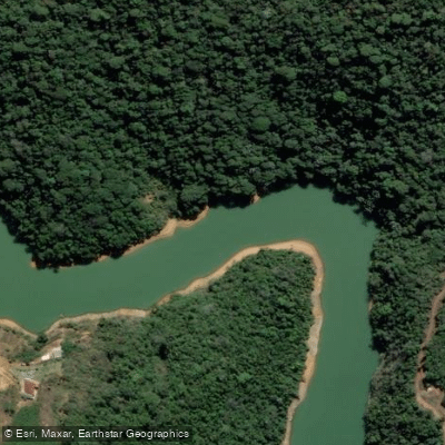
Rio Santa Maria da Vitória
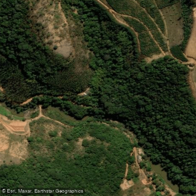
Rio Jucu Braço Norte
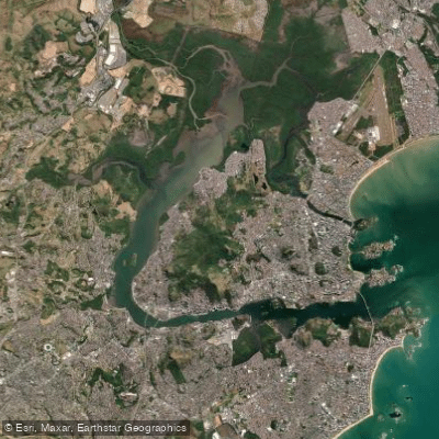
Baía de Vitória
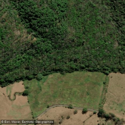
Rio Jacarandá
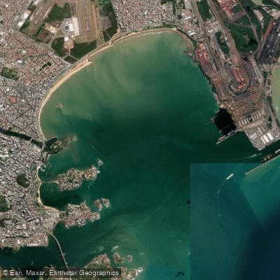
Baía do Espírito Santo
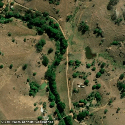
Rio Piraquê-Açu

Rio Claro
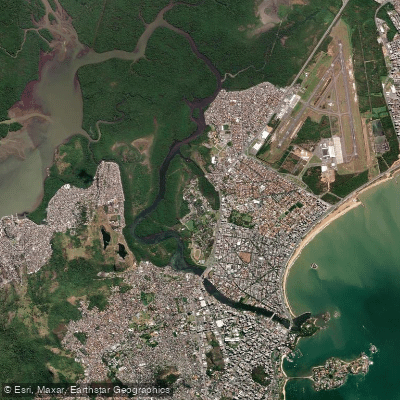
Canal da Passagem
Rio Fundão ou Rio Reis Magos
Explore Espírito Santo waters
Top paddling waters
No waters available right now.
Popular Cities
Loading popular cities...
Explore near Rio Jucu

Smarter Paddling Starts in the App.
Paddleways gives you everything you need to plan smarter, paddle better, and own every trip from first launch to takeout.