Rio Jucu Braço Norte
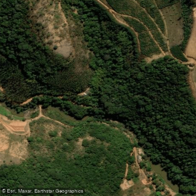
Rio Jucu Braço Norte
- Boat Ramps
- 0
- Access Points
- 0
- Campsites
- 0
The Rio Jucu Braço Norte originates at Serra do Castelo, a spur of the Serra da Pedra Azul, in the district of Aracê within the município of Domingos Martins, at an elevation of approximately 1,200 meters. This branch runs approximately 123 km before joining the Braço Sul; from that confluence, the combined Rio Jucu continues another 43 km to its mouth at Praia da Barra do Jucu in Vila Velha, within the metropolitan region of Grande Vitória. The Braço Norte thus forms the longer and upper portion of the Rio Jucu system, descending from the mountainous interior of Espírito Santo toward the coast.
The river's character in its upper reaches is fast-moving with frequent rapids. The Rio Jucu system as a whole is well established for rafting, with rapids classified from Class I through Class V+. During the rainy season, water levels can rise enough to push conditions to Class VI, which represents an extreme and generally non-runnable hazard. Paddlers should factor seasonal rainfall patterns into trip planning carefully, as high water significantly escalates the danger of the more technical sections.
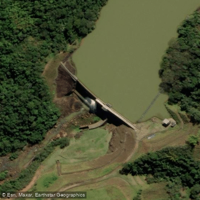
A notable infrastructure feature along the river is the Barragem São Pedro, operated by São Pedro Energia S.A., which paddlers will need to account for when planning routes. The Cascata do Galo is a point of interest in the river corridor.
Water quality is a concern on this river. Despite supplying approximately 25% of the state of Espírito Santo's water, the Rio Jucu receives considerable volumes of pollution and sewage discharge along its course, which paddlers should be aware of regarding immersion risk and general hygiene precautions.
Water access, boat ramps & amenities
Learn how to get on Rio Jucu Braço Norte. Uncover great paddling access points, boat ramps, and all the facilities you need for an unforgettable day on the water. Some locations shown may border or include private property. Always check property boundaries and applicable regulations before visiting. PaddleWays's Public & Private Land layer can help you plan your access with confidence.
Paddle smarter with real-time insights
Whether you're en route and conditions shift or you're looking for the best spot based on current flows, we enable you to make informed decisions on the fly.







Espírito Santo licenses and regulations
No licenses or regulations available for Espírito Santo.
Find Places to Paddle

Over 400,000 Places to Paddle
Every user gets free access to launch points, boat ramps, and public property parcels.


Water and weather conditions (10 day forecast)
See the best times to paddle Rio Jucu Braço Norte and check the forecast before you go.
Domingos Martins - Ponto Alto
All Flow Stations
Paddling near Rio Jucu Braço Norte
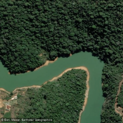
Rio Santa Maria da Vitória
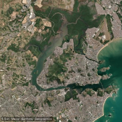
Baía de Vitória
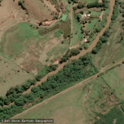
Rio Jucu
Rio Piraquê-Açu
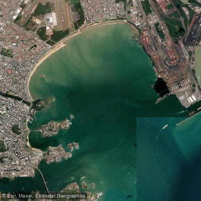
Baía do Espírito Santo
Rio Jacarandá
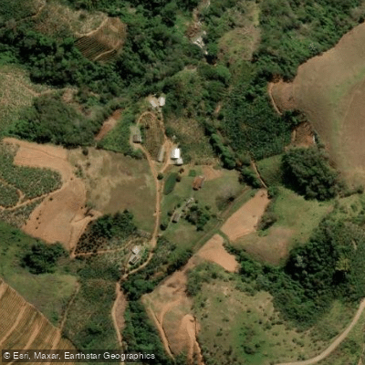
Rio do Meio
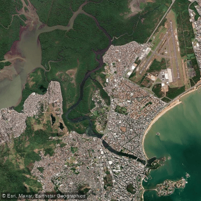
Canal da Passagem
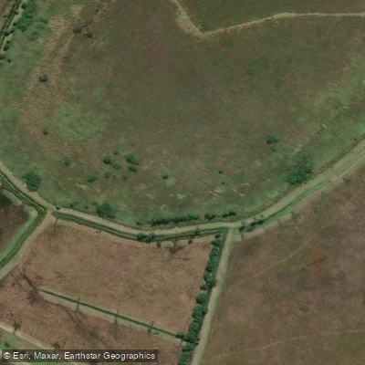
Rio Fundão ou Rio Reis Magos
Explore Espírito Santo waters
Top paddling waters
No waters available right now.
Popular Cities
Loading popular cities...
Explore near Rio Jucu Braço Norte

Smarter Paddling Starts in the App.
Paddleways gives you everything you need to plan smarter, paddle better, and own every trip from first launch to takeout.