Rio Santa Maria da Vitória
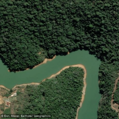
Rio Santa Maria da Vitória
- Boat Ramps
- 0
- Access Points
- 0
- Campsites
- 1
The Rio Santa Maria da Vitória is a 122-kilometer river in the central region of Espírito Santo state, originating at Serra do Garrafão in the municipality of Santa Maria de Jetibá and flowing eastward through Santa Leopoldina, Cariacica, and Serra before emptying into the Baía de Vitória. Its watershed covers approximately 1,876 km² and is bounded to the north and west by the basins of the Rio Reis Magos and Rio Doce, and to the south by the basins of the Rio Jucu, Rio Bubu, and Rio Formate.
The river descends from the mountainous interior toward the coast, passing through a landscape that has been heavily altered by human activity. The basin supports agriculture — predominantly horticulture — along with industrial production, hydroelectric generation, and public water supply. Three reservoirs exist within the basin: Duas Bocas, which serves as a public water supply reservoir, and two hydroelectric reservoirs, Rio Bonito and Suíça. Paddlers should be aware that these impoundments interrupt the natural river corridor and will affect route planning along the main stem.
Water quality is a notable concern. The river and its basin have been affected by deforestation in riparian protection zones, bank sedimentation, widespread use of agrochemicals, and inadequate disposal of solid and liquid waste, including domestic sewage from the communities along its course. The river is classified as Class 2 under Brazil's CONAMA Resolution 357/2005, indicating it is intended to support primary contact recreation, but actual conditions vary given the documented pressures on the watershed.
The river's principal tributaries include the rios Possmoser, Claro, São Luiz, Bonito, da Prata, Mangaraí, Caramuru, Duas Bocas, Triunfo, Farinhas, Fumaça, and São Miguel. Fish species in the river include redbreast tilapia, mutton snapper, and fat snook. The river has historical significance as a travel corridor into the Espírito Santo interior; in the late 19th century, Therese of Bavaria traveled by canoe along the Santa Maria da Vitória from Vitória toward the mountain region.
Water access, boat ramps & amenities
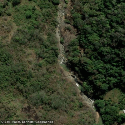
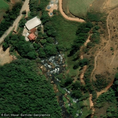
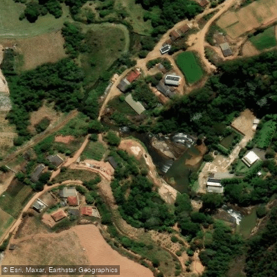
Learn how to get on Rio Santa Maria da Vitória. Uncover great paddling access points, boat ramps, and all the facilities you need for an unforgettable day on the water. Some locations shown may border or include private property. Always check property boundaries and applicable regulations before visiting. PaddleWays's Public & Private Land layer can help you plan your access with confidence.
Paddle smarter with real-time insights
Whether you're en route and conditions shift or you're looking for the best spot based on current flows, we enable you to make informed decisions on the fly.







Espírito Santo licenses and regulations
No licenses or regulations available for Espírito Santo.
Find Places to Paddle

Over 400,000 Places to Paddle
Every user gets free access to launch points, boat ramps, and public property parcels.


Water and weather conditions (10 day forecast)
See the best times to paddle Rio Santa Maria da Vitória and check the forecast before you go.
Santa Maria De Jetibá - São João De Garrafão
All Flow Stations
Paddling near Rio Santa Maria da Vitória
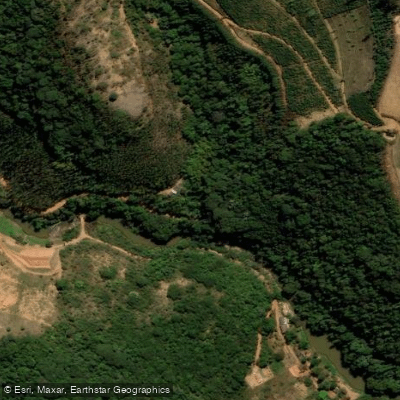
Rio Jucu Braço Norte
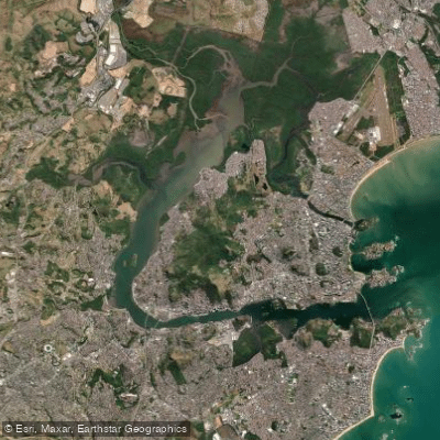
Baía de Vitória
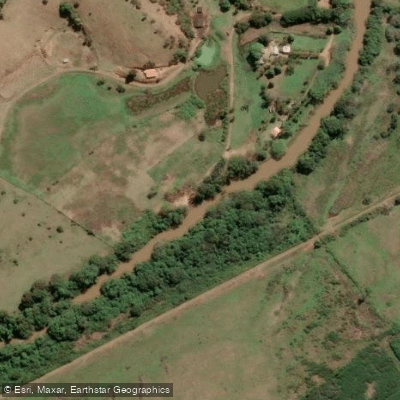
Rio Jucu
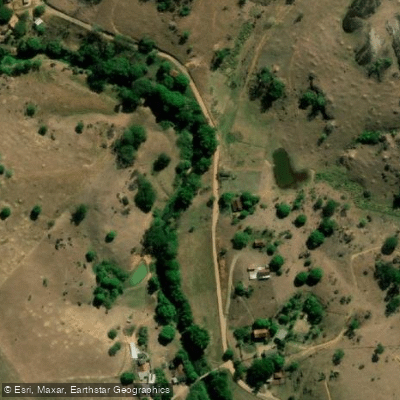
Rio Piraquê-Açu
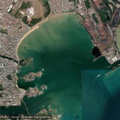
Baía do Espírito Santo
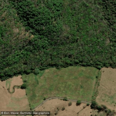
Rio Jacarandá
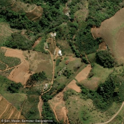
Rio do Meio
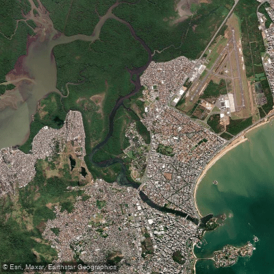
Canal da Passagem
Rio Fundão ou Rio Reis Magos
Explore Espírito Santo waters
Top paddling waters
No waters available right now.
Popular Cities
Loading popular cities...
Explore near Rio Santa Maria da Vitória
Access points
Nearby waters
More in Espírito Santo

Smarter Paddling Starts in the App.
Paddleways gives you everything you need to plan smarter, paddle better, and own every trip from first launch to takeout.