Rio Doce
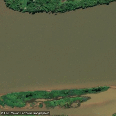
Rio Doce
- Boat Ramps
- 0
- Access Points
- 0
- Campsites
- 1
The Rio Doce is a major river in Minas Gerais, Brazil, formed by the junction of the Piranga and the Carmo rivers near the historic city of Ouro Preto. It flows northeast through Ipatinga, curves near Governador Valadares, and continues southeast before eventually reaching the Atlantic Ocean in Espírito Santo state. The river has historically supported canoeing in rapids and informal canoe transport between riverside communities, but paddlers must be aware of serious ongoing water quality concerns before planning any trip.
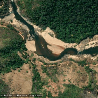
On November 5, 2015, the Fundão iron mine tailings dam failed, releasing approximately 39 to 50 million cubic meters of toxic mine waste into the river system. The contamination traveled roughly 650 kilometers of the waterway. Years after the disaster, the river's waters run a murky reddish-brown in affected areas, and fish remain contaminated. Cleanup efforts have focused on monitoring rather than active remediation. Excess pollutants in the river represent a documented health risk, and paddlers should treat direct water contact with significant caution.
Within the Rio Doce State Park (Parque Estadual do Rio Doce), located approximately 248 kilometers from Belo Horizonte in the Vale do Aço region, the Dom Helvécio Lagoon offers a more contained paddling environment. This lagoon, the largest natural lagoon in Brazil, has kayaks and paddle boats available for rent, and rowing boats as well as boats with electric motors are permitted for touring the lagoon. Disembarkation from boats onto the lagoon's shores is not allowed. The park covers approximately 35,970 hectares across the municipalities of Marliéria, Dionísio, and Timóteo, and contains one of the largest Atlantic Forest reserves in Minas Gerais and a significant lake system. The Doce River itself forms the eastern boundary of the park, with the Piracicaba River forming the northern boundary.
Water access, boat ramps & amenities
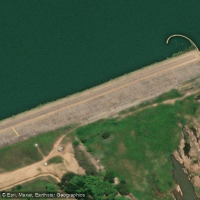
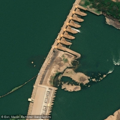
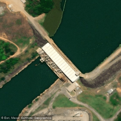
Learn how to get on Rio Doce. Uncover great paddling access points, boat ramps, and all the facilities you need for an unforgettable day on the water. Some locations shown may border or include private property. Always check property boundaries and applicable regulations before visiting. PaddleWays's Public & Private Land layer can help you plan your access with confidence.
Paddle smarter with real-time insights
Whether you're en route and conditions shift or you're looking for the best spot based on current flows, we enable you to make informed decisions on the fly.







Espírito Santo licenses and regulations
No licenses or regulations available for Espírito Santo.
Find Places to Paddle

Over 400,000 Places to Paddle
Every user gets free access to launch points, boat ramps, and public property parcels.


Water and weather conditions (10 day forecast)
See the best times to paddle Rio Doce and check the forecast before you go.
Doce 08 - G. Valadares
All Flow Stations
Explore Espírito Santo waters
Top paddling waters
No waters available right now.
Popular Cities
Loading popular cities...
Explore near Rio Doce
Access points
More in Espírito Santo

Smarter Paddling Starts in the App.
Paddleways gives you everything you need to plan smarter, paddle better, and own every trip from first launch to takeout.