Represa De Emborcação
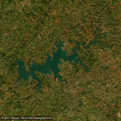
Represa De Emborcação
- Boat Ramps
- 0
- Access Points
- 0
- Campsites
- 0
Represa de Emborcação is one of the largest and deepest reservoirs in Brazil, formed by the Emborcação Dam on the Rio Paranaíba along the border between Minas Gerais and Goiás. The dam, owned by CEMIG, is an embankment structure 1,507 meters long and 158 meters tall, completed in 1983. The reservoir covers approximately 478–703 square kilometers of surface area, with a total storage capacity of 17.6 cubic kilometers and a maximum depth of 135 meters near the dam structure. Its coordinates place it near Araguari in Minas Gerais, roughly 150 kilometers from Uberlândia and approximately 690 kilometers from Belo Horizonte.
The reservoir's extensive arms create hundreds of kilometers of shoreline featuring submerged timber, islands, coves, and rocky walls. The surrounding landscape is characteristic cerrado (Brazilian savanna). The scale of the water body gives it an almost oceanic character, and navigation demands considerable caution: the extreme depths, vast open stretches, and winds that can build rapidly present real hazards for small craft. Paddlers should treat this reservoir with the same respect afforded to large open-water environments.
Access to the reservoir is possible from both the Minas Gerais side near Araguari and Cascalho Rico, and from the Goiás side near Catalão. Several marinas along the shoreline offer boat ramps and vessel rentals, primarily oriented toward sport fishing. Given the reservoir's size, GPS and depth-sounding equipment are strongly recommended for anyone venturing far from shore.
The fishery is well established, with populations of tucunarés (including açu and amarelo varieties), dourados, corvinas, traíras, and tilápias. Fishing regulations in Minas Gerais include a closed season (piracema) running from November through February, during which fishing is prohibited to protect spawning fish. Outside this period, fishing is permitted subject to national size and catch limits. Paddlers sharing the water with motorized fishing boats should be aware that vessel traffic can be significant, particularly on weekends and during the open fishing season.
Water access, boat ramps & amenities
Learn how to get on Represa De Emborcação. Uncover great paddling access points, boat ramps, and all the facilities you need for an unforgettable day on the water. Some locations shown may border or include private property. Always check property boundaries and applicable regulations before visiting. PaddleWays's Public & Private Land layer can help you plan your access with confidence.
Paddle smarter with real-time insights
Whether you're en route and conditions shift or you're looking for the best spot based on current flows, we enable you to make informed decisions on the fly.







Goiás licenses and regulations
No licenses or regulations available for Goiás.
Find Places to Paddle

Over 400,000 Places to Paddle
Every user gets free access to launch points, boat ramps, and public property parcels.


Water and weather conditions (10 day forecast)
See the best times to paddle Represa De Emborcação and check the forecast before you go.
Cachoeira Do Sertão
All Flow Stations
Paddling near Represa De Emborcação
Rio Babilônia
Ribeirão Araras
Ribeirão Bom Jardim
Ribeirão das Furnas
Rio Claro
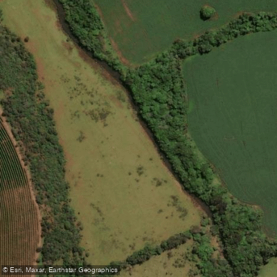
Ribeirão Piçarrão
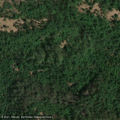
Rio Bonito
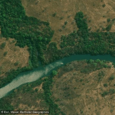
Rio Veríssimo
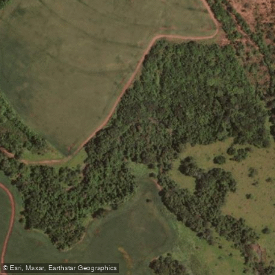
Ribeirão São José
Explore Goiás waters
Top paddling waters
No waters available right now.
Popular Cities
Loading popular cities...
Explore near Represa De Emborcação

Smarter Paddling Starts in the App.
Paddleways gives you everything you need to plan smarter, paddle better, and own every trip from first launch to takeout.