Reservatório Corumbá Iv
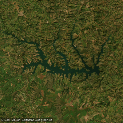
Reservatório Corumbá Iv
- Boat Ramps
- 0
- Access Points
- 1
- Campsites
- 0
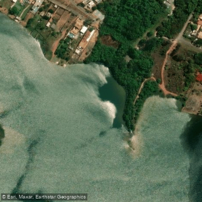
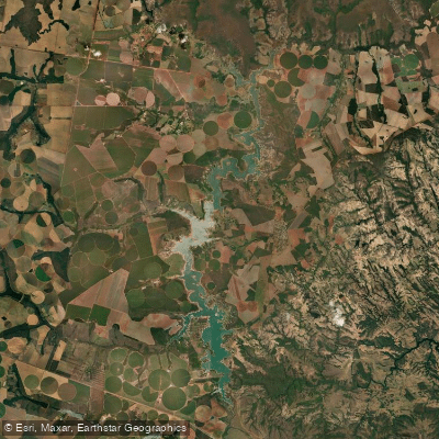
Reservatório Corumbá IV is a large hydroelectric reservoir in the Centro-Oeste region of Brazil, covering approximately 173 km² in the state of Goiás. It was formed by the damming of the Rio Corumbá and inaugurated in 2006 as part of the Usina Hidrelétrica Corumbá IV, which has an installed generating capacity of 129.6 MW. The reservoir's waters touch seven municipalities: Abadiânia, Alexânia, Luziânia, Silvânia, Novo Gama, Corumbá de Goiás, and Santo Antônio do Descoberto. Its geographic coordinates are approximately 16°19′22″ S and 48°11′15″ W, placing it in close proximity to the Distrito Federal and Brasília.
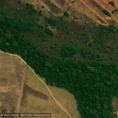
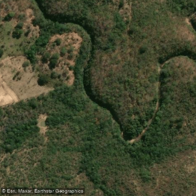
The reservoir's principal feeder is the Rio Corumbá, which enters the lake in the portion bordering Corumbá de Goiás. Additional tributary sub-basins include the Areias, Descoberto, Alagado, Antas, Cervo, and Pirapitinga-Sarandi drainages, giving the water body a complex, branching shoreline typical of large impoundments in the Brazilian Cerrado.
The climate follows a Köppen Aw classification — a hot tropical regime with relatively stable temperatures year-round (monthly average around 20°C) and a pronounced dry season in winter. This dry-season pattern affects paddlers directly, as water levels and conditions on the reservoir vary between the wet and dry periods.
The reservoir serves multiple purposes, including recreation, tourism, and fishing alongside power generation and water supply. Nautical sports are practiced on the lake, though the surrounding municipal shorelines remain relatively undeveloped for tourism. Paddlers should be aware that environmental patrol teams from Corumbá Concessões operate on the water, conducting educational outreach and monitoring use of the reservoir. These teams approach vessels by boat, particularly at high-traffic areas, and provide guidance on responsible use of the resource.
Fishing regulations apply, including closed-season (piracema) restrictions that vary by species and river basin, and paddlers who fish should consult current rules from Brazil's official fisheries authority before their trip.
Water access, boat ramps & amenities
Learn how to get on Reservatório Corumbá Iv. Uncover great paddling access points, boat ramps, and all the facilities you need for an unforgettable day on the water. Some locations shown may border or include private property. Always check property boundaries and applicable regulations before visiting. PaddleWays's Public & Private Land layer can help you plan your access with confidence.
Paddle smarter with real-time insights
Whether you're en route and conditions shift or you're looking for the best spot based on current flows, we enable you to make informed decisions on the fly.







Goiás licenses and regulations
No licenses or regulations available for Goiás.
Find Places to Paddle

Over 400,000 Places to Paddle
Every user gets free access to launch points, boat ramps, and public property parcels.


Water and weather conditions (10 day forecast)
See the best times to paddle Reservatório Corumbá Iv and check the forecast before you go.
Ponte Anápolis - Brasília
All Flow Stations
Paddling near Reservatório Corumbá Iv
Explore Goiás waters
Top paddling waters
No waters available right now.
Popular Cities
Loading popular cities...
Explore near Reservatório Corumbá Iv
Access points
Nearby waters
More in Goiás

Smarter Paddling Starts in the App.
Paddleways gives you everything you need to plan smarter, paddle better, and own every trip from first launch to takeout.