Rio da Meia Ponte
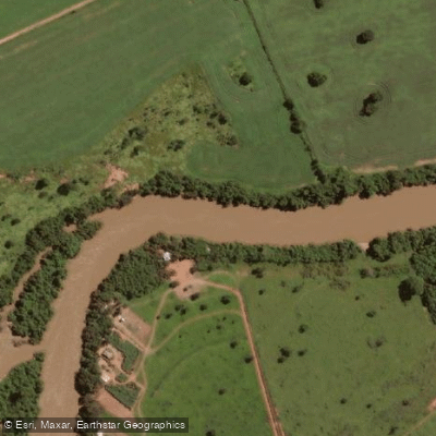
Rio da Meia Ponte
- Boat Ramps
- 0
- Access Points
- 0
- Campsites
- 0
The Rio da Meia Ponte is a significant river system flowing through the state of Goiás, Brazil. Its source is located in the Serra dos Brandões within the municipality of Itauçu, and it flows to its confluence with the Rio Paranaíba. The river originates in the northern highlands and passes through diverse landscapes along its course. One notable feature is the Represa da Cachoeira Dourada, a reservoir on the Paranaíba River located within the Meia Ponte Microregion, which supports recreational boating activities. The river's aesthetic appearance is characterized by varied terrain, and its overall character is shaped by its role as an important waterway in central Brazil. A GPS track indicates exploration of the riverbank near Rochedo, Goiás, for the purpose of planning future kayaking trips. This suggests the presence of accessible sections suitable for paddling. The river's water quality has been the subject of scientific study, with at least one research project aiming to classify a segment based on parameters established by Brazilian environmental resolution CONAMA no 357/2005, indicating that water quality can be a consideration. The region's climate suggests seasonal variations in flow, but specific best seasons for paddling or detailed water temperature patterns are not provided.
Water access, boat ramps & amenities
Learn how to get on Rio da Meia Ponte. Uncover great paddling access points, boat ramps, and all the facilities you need for an unforgettable day on the water. Some locations shown may border or include private property. Always check property boundaries and applicable regulations before visiting. PaddleWays's Public & Private Land layer can help you plan your access with confidence.
Paddle smarter with real-time insights
Whether you're en route and conditions shift or you're looking for the best spot based on current flows, we enable you to make informed decisions on the fly.







Goiás licenses and regulations
No licenses or regulations available for Goiás.
Find Places to Paddle

Over 400,000 Places to Paddle
Every user gets free access to launch points, boat ramps, and public property parcels.


Water and weather conditions (10 day forecast)
See the best times to paddle Rio da Meia Ponte and check the forecast before you go.
Go-213
All Flow Stations
Paddling near Rio da Meia Ponte
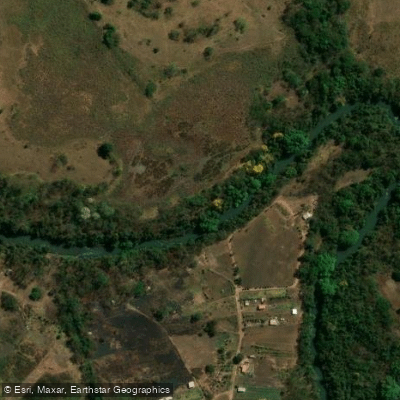
Rio Meia Ponte
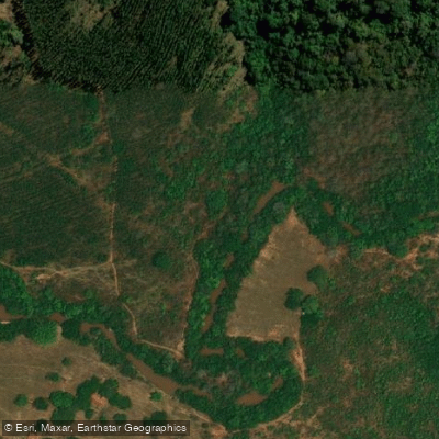
Ribeirão Dourados ou Rio Dourado
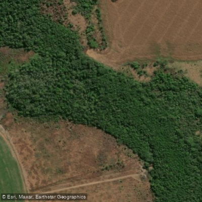
Rio dos Bois
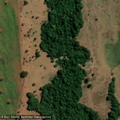
Ribeirão das Areias
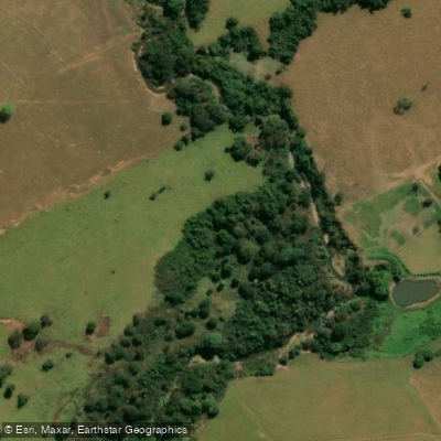
Rio Salobro
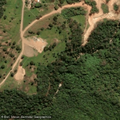
Rio Padre Sousa
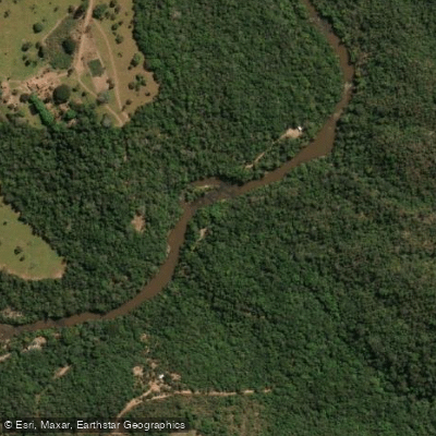
Rio dos Bois
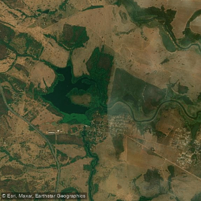
Reservatório Da Usina Hidrelétrica Rochedo
Explore Goiás waters
Top paddling waters
No waters available right now.
Popular Cities
Loading popular cities...
Explore near Rio da Meia Ponte

Smarter Paddling Starts in the App.
Paddleways gives you everything you need to plan smarter, paddle better, and own every trip from first launch to takeout.