Represa Da Boa Esperança
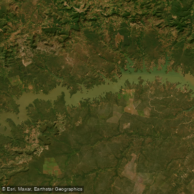
Represa Da Boa Esperança
- Boat Ramps
- 0
- Access Points
- 0
- Campsites
- 0
Represa da Boa Esperança, also known as Reservatório de Boa Esperança, is a large artificial reservoir created by the damming of the Rio Parnaíba, completed in April 1970. The reservoir straddles the border between Piauí and Maranhão, extending approximately 150 km in length with a maximum average width of 2.2 km and a total surface area of roughly 340–352 km². The dam itself, located near the city of Guadalupe (Piauí), is a mixed earth-rockfill structure with a maximum height of 53 m and a crest length of 5,212 m. The reservoir's drainage basin covers approximately 87,500 km².
Water depths vary considerably across the reservoir, ranging from around 8 m near the shallower margins to approximately 60 m in the vicinity of the dam at Guadalupe, with an average depth of around 50 m. Water clarity is generally good, with visibility estimated at 2–5 m depending on the season. The underwater terrain is diverse, featuring submerged islands, rocky points, old timber snags, deep channels, and sandy beaches — all of which create varied paddling environments but also potential hazards for navigation, particularly the submerged structures.
The reservoir sits at an elevation of up to 306.5 m above sea level. The artificial lake extends upstream into Piauí as far as Porto Alegre do Piauí, and the city of Guadalupe lies directly on its shores, offering hotels and recreational facilities. The town of Floriano (PI), approximately 242 km from Teresina via BR-343, provides access to the Piauí side of the reservoir and has a public boat ramp. Guadalupe is reachable from Floriano via PI-140 and MA-006, an additional 90 km. Both Floriano and Guadalupe offer accommodation options and boat rental services.
Given the reservoir's scale, a marine GPS is strongly recommended for navigation. The combination of deep water near the dam, submerged structures, and the reservoir's considerable size make careful trip planning essential. The reservoir is an active hydroelectric facility operated by Axia Energia Nordeste, with six spillway gates at the dam — paddlers should be aware of potential water level fluctuations associated with dam operations. The principal tributaries feeding the reservoir include the Rio Parnaíba, Rio dos Balsas, and Rio Uruçuí-Preto.
Water access, boat ramps & amenities
Learn how to get on Represa Da Boa Esperança. Uncover great paddling access points, boat ramps, and all the facilities you need for an unforgettable day on the water. Some locations shown may border or include private property. Always check property boundaries and applicable regulations before visiting. PaddleWays's Public & Private Land layer can help you plan your access with confidence.
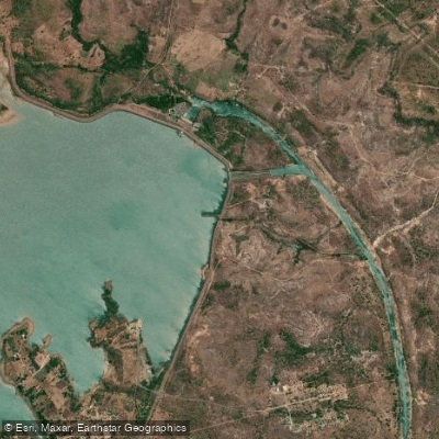
Paddle smarter with real-time insights
Whether you're en route and conditions shift or you're looking for the best spot based on current flows, we enable you to make informed decisions on the fly.







Maranhão licenses and regulations
No licenses or regulations available for Maranhão.
Find Places to Paddle

Over 400,000 Places to Paddle
Every user gets free access to launch points, boat ramps, and public property parcels.


Water and weather conditions (10 day forecast)
See the best times to paddle Represa Da Boa Esperança and check the forecast before you go.
Nova Iorque
All Flow Stations
Paddling near Represa Da Boa Esperança
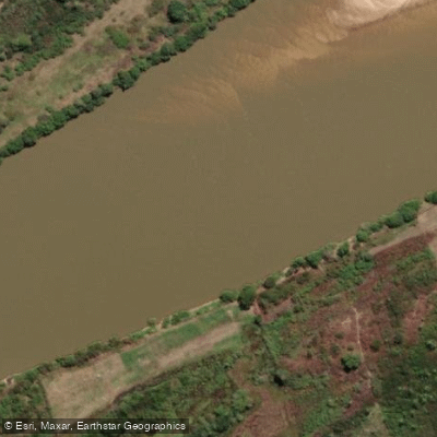
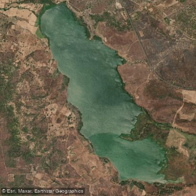
Explore Maranhão waters
Top paddling waters
No waters available right now.
Popular Cities
Loading popular cities...
Explore near Represa Da Boa Esperança
Access points
Nearby waters
More in Maranhão

Smarter Paddling Starts in the App.
Paddleways gives you everything you need to plan smarter, paddle better, and own every trip from first launch to takeout.