Rio Mearim
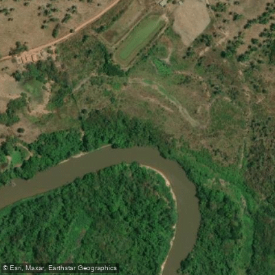
Rio Mearim
- Boat Ramps
- 0
- Access Points
- 0
- Campsites
- 0
The Rio Mearim is a major river in Maranhão state, northern Brazil, running approximately 771 to 800 kilometers from its origins in the southern part of the state northward to the Baía de São Marcos, where it forms a common estuary with the Rio Pindaré before reaching the Atlantic Ocean. The river's primary water source is rainfall, and it flows through the marshlands of the Atlantic Coastal Plain for much of its length.
The upper and middle courses of the Mearim are characterized by rapids, making those sections technically demanding and generally unsuitable for straightforward navigation. Only the lower sections of the river are considered navigable. Paddlers considering the lower Mearim should be aware of the pororoca, a tidal bore that occurs in the river's lower reaches. Tidal bores can produce powerful, fast-moving walls of water that travel upstream and pose a serious hazard to anyone on the water who is unprepared for them. The pororoca on the lower Mearim has attracted surfers, which reflects the bore's significant size and force.
The river defines the southern boundary of the Tocantins–Araguaia–Maranhão moist forests ecoregion, indicating that the surrounding landscape transitions between distinct ecological zones. Prospective paddlers should seek local knowledge regarding access points, recommended routes, facilities, and seasonal water conditions before planning a trip.
Water access, boat ramps & amenities
Learn how to get on Rio Mearim. Uncover great paddling access points, boat ramps, and all the facilities you need for an unforgettable day on the water. Some locations shown may border or include private property. Always check property boundaries and applicable regulations before visiting. PaddleWays's Public & Private Land layer can help you plan your access with confidence.
Paddle smarter with real-time insights
Whether you're en route and conditions shift or you're looking for the best spot based on current flows, we enable you to make informed decisions on the fly.







Maranhão licenses and regulations
No licenses or regulations available for Maranhão.
Find Places to Paddle

Over 400,000 Places to Paddle
Every user gets free access to launch points, boat ramps, and public property parcels.


Water and weather conditions (10 day forecast)
See the best times to paddle Rio Mearim and check the forecast before you go.
Vale Do Pindaré
All Flow Stations
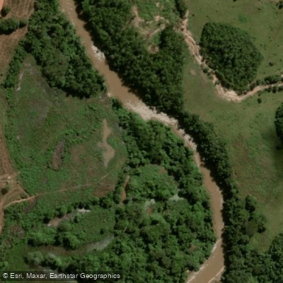
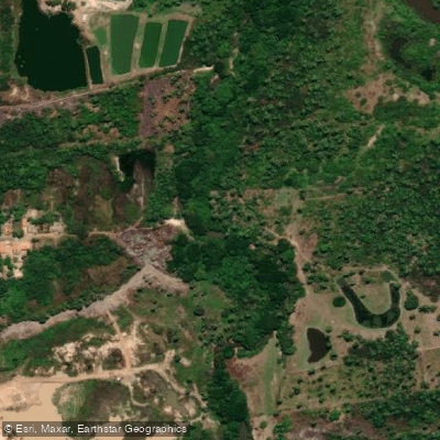
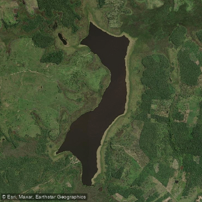
Explore Maranhão waters
Top paddling waters
No waters available right now.
Popular Cities
Loading popular cities...
Explore near Rio Mearim
Nearby waters
More in Maranhão

Smarter Paddling Starts in the App.
Paddleways gives you everything you need to plan smarter, paddle better, and own every trip from first launch to takeout.