Rio Preguiças
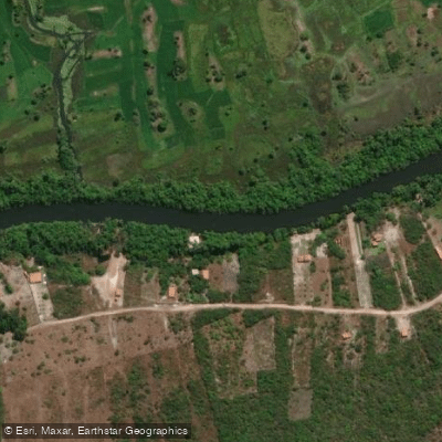
Rio Preguiças
- Boat Ramps
- 0
- Access Points
- 2
- Campsites
- 1
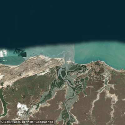
Rio Preguiças is a calm, slow-moving river in the state of Maranhão, Brazil, flowing through a landscape where river, dunes, and Atlantic coast converge. The river runs from the interior toward the coast, passing through the dune fields of the Pequenos Lençóis Maranhenses before emptying into the sea near the village of Atins and the sandbank of Caburé. The town of Barreirinhas serves as the primary hub for river access, with a pier that functions as the main departure point for trips heading downstream.
The river's current is gentle throughout, making it well-suited for kayaking and canoeing at most skill levels. A popular multi-day paddling route runs downstream over two days, typically organized as an autonomous descent from Barreirinhas toward Atins. This route passes through riverside communities populated by local fishermen, and the dune fields of the Pequenos Lençóis Maranhenses are visible along the banks. The delta area near Atins features feeder creeks and mangrove habitat that can be explored by kayak, with tidal conditions influencing the best timing for excursions in that section.
Key stops along the river include the village of Vassouras, known for seasonal lagoons that form during the rainy months, and the village of Mandacaru, where the Preguiças Lighthouse offers elevated views over the surrounding river, ocean, dunes, and vegetation. The sandbank of Brasília, across the river from Atins, provides a base for kayak exploration of the delta. Caburé, near the river's mouth, is a beach destination accessible by boat.
Wildlife along the river includes capuchin monkeys in the Vassouras area and guará birds (scarlet ibis) observed in the Barreirinhas-to-Atins stretch. The mangrove sections near the delta add ecological variety to the lower river corridor.
Kayak rental and guided descent trips are available through local operators based in Barreirinhas and Atins, with two-day self-guided descents a common format. Motorized voadeira boats also operate on the river and are used for day tours, so paddlers should be aware of motorboat traffic, particularly on the main channel.
Water access, boat ramps & amenities
Learn how to get on Rio Preguiças. Uncover great paddling access points, boat ramps, and all the facilities you need for an unforgettable day on the water. Some locations shown may border or include private property. Always check property boundaries and applicable regulations before visiting. PaddleWays's Public & Private Land layer can help you plan your access with confidence.
Paddle smarter with real-time insights
Whether you're en route and conditions shift or you're looking for the best spot based on current flows, we enable you to make informed decisions on the fly.







Maranhão licenses and regulations
No licenses or regulations available for Maranhão.
Find Places to Paddle

Over 400,000 Places to Paddle
Every user gets free access to launch points, boat ramps, and public property parcels.


Water and weather conditions (10 day forecast)
See the best times to paddle Rio Preguiças and check the forecast before you go.
Morro Alto
All Flow Stations
Paddling near Rio Preguiças
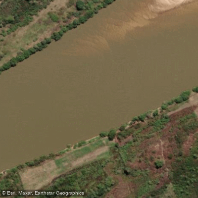
Rio Parnaíba
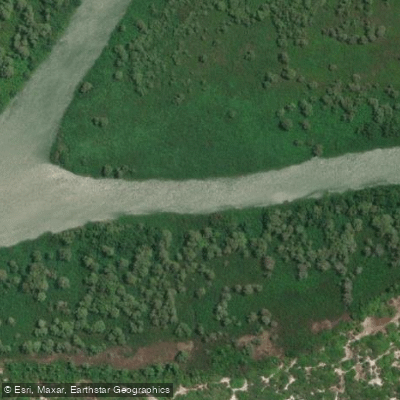
Rio Igaraçu
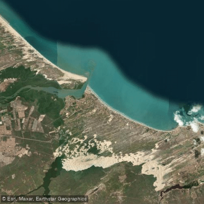
Praia de Atalaia
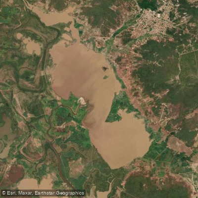
Lagoa Grande Do Buriti Dos Lopes
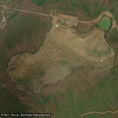
Lagoa Grande
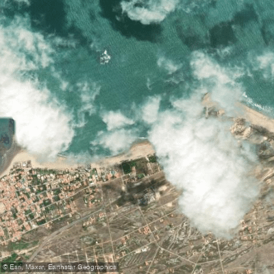
Praia do Coqueiro
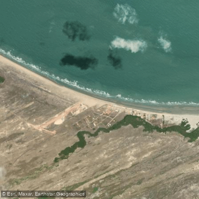
Praia do Arrombado
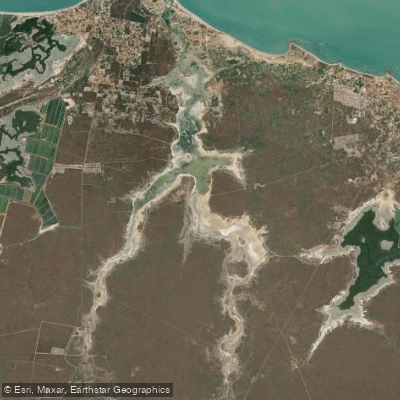
Lago da Santana
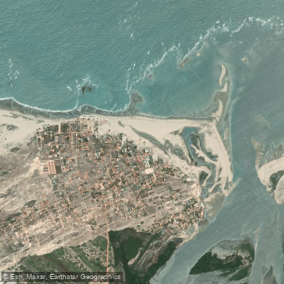
Praia de Macapá
Praia de Macapa
Explore Maranhão waters
Top paddling waters
No waters available right now.
Popular Cities
Loading popular cities...
Explore near Rio Preguiças
Nearby waters
More in Maranhão

Smarter Paddling Starts in the App.
Paddleways gives you everything you need to plan smarter, paddle better, and own every trip from first launch to takeout.