Rio Aquidauana
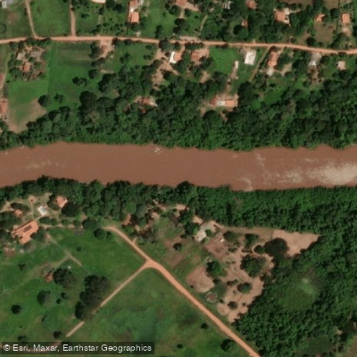
Rio Aquidauana
- Boat Ramps
- 0
- Access Points
- 2
- Campsites
- 0
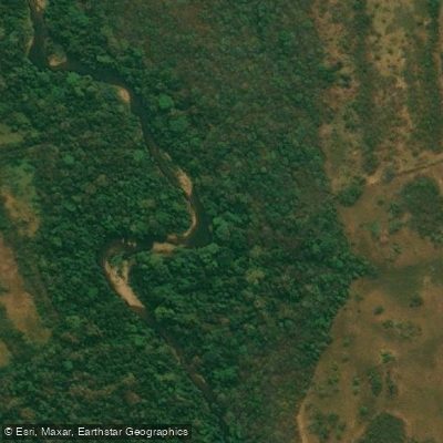
The Rio Aquidauana is a major river in Mato Grosso do Sul, southwestern Brazil, stretching approximately 1,200 kilometers from its headwaters in the Maracaju Mountain Range to its confluence with the Rio Miranda, itself a tributary of the Paraguay River basin. From the city of Aquidauana, the river changes direction from an east-west orientation to a northwest course, carrying paddlers progressively deeper into the Pantanal wetlands.
The river's character shifts considerably along its length. In its upper and middle reaches near the city of Aquidauana and the Recreio area, kayak and canoe routes range from roughly 14 to 33 miles, with trips between landmarks such as Ponte do Nuara and Ponte de Palmeiras. Multi-day expeditions with camping are practiced in this stretch. Further downstream in the Pantanal section, the river broadens into a system of bays (baías) and meanders, where the pace of travel slows and the surrounding floodplain dominates the landscape. Pousada Aguapé, located in the Pantanal section, offers organized kayak tours through these bays as part of its ecotourism activities.
Wildlife is a significant draw along the Rio Aquidauana. The river supports populations of giant otters (Pteronura brasiliensis), one of two otter species found here, with groups distributed across at least 120 kilometers of the river's Pantanal reach, including its bays and meanders. The broader Pantanal ecosystem surrounding the river is recognized for exceptional biodiversity.
Paddlers planning trips should be aware that the river passes through one of the world's largest tropical wetland systems, and conditions in the Pantanal section are strongly influenced by seasonal flooding cycles typical of the region. The river's extensive length and the remote nature of much of its Pantanal corridor mean that self-sufficiency and advance logistical planning are important considerations for multi-day trips.
Water access, boat ramps & amenities
Learn how to get on Rio Aquidauana. Uncover great paddling access points, boat ramps, and all the facilities you need for an unforgettable day on the water. Some locations shown may border or include private property. Always check property boundaries and applicable regulations before visiting. PaddleWays's Public & Private Land layer can help you plan your access with confidence.
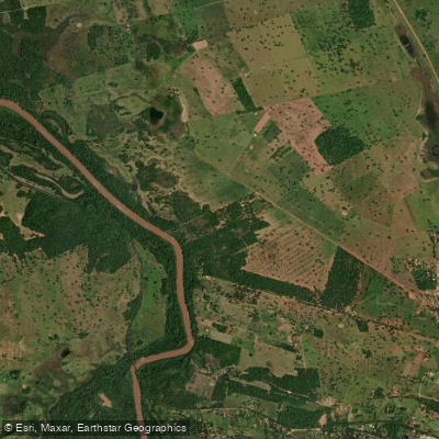
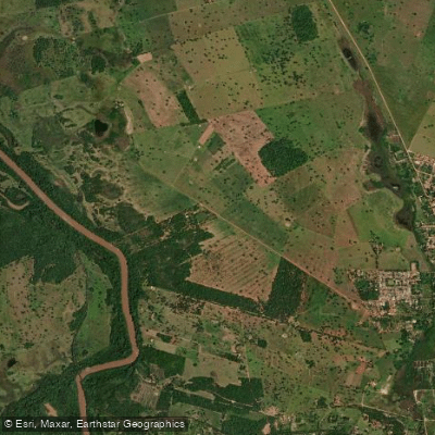
Paddle smarter with real-time insights
Whether you're en route and conditions shift or you're looking for the best spot based on current flows, we enable you to make informed decisions on the fly.







Mato Grosso Do Sul licenses and regulations
No licenses or regulations available for Mato Grosso Do Sul.
Find Places to Paddle

Over 400,000 Places to Paddle
Every user gets free access to launch points, boat ramps, and public property parcels.


Water and weather conditions (10 day forecast)
See the best times to paddle Rio Aquidauana and check the forecast before you go.
São Gabriel Do Oeste
All Flow Stations
Paddling near Rio Aquidauana
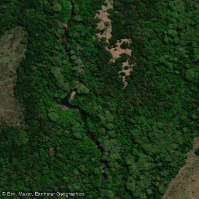
Explore Mato Grosso Do Sul waters
Top paddling waters
No waters available right now.
Popular Cities
Loading popular cities...
Explore near Rio Aquidauana
Access points
More in Mato Grosso Do Sul

Smarter Paddling Starts in the App.
Paddleways gives you everything you need to plan smarter, paddle better, and own every trip from first launch to takeout.