Rio Salobra
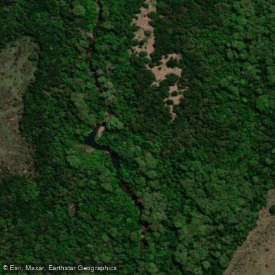
Rio Salobra
- Boat Ramps
- 0
- Access Points
- 0
- Campsites
- 3
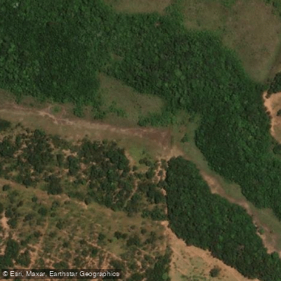
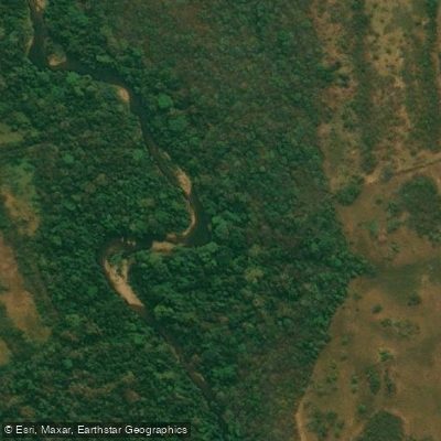
The Rio Salobra originates in the Serra da Bodoquena in Mato Grosso do Sul and flows to its mouth at the Rio Miranda, a tributary of the Paraguay River basin. The river has carved its way through limestone formations over millennia, creating a canyon corridor where rock walls rise to heights exceeding 70 meters along the banks. The surrounding vegetation is predominantly evergreen deciduous forest, and the region is considered one of the most intact and least disturbed areas in the state.
The water is notably clear, with visibility that allows paddlers to observe schools of colorful fish and turtles moving through the water alongside them. The climate is savanna-type, with an average annual temperature of 24°C. November is the warmest month at 26°C and also the wettest, averaging 201 mm of precipitation. July is the coolest month at 20°C, and August is the driest, with only 2 mm of average rainfall. Annual precipitation averages 1.6 meters.
The primary paddling route through the Cânions do Salobra covers approximately 6 kilometers and is rated moderate in difficulty. The standard tour takes around 6 hours and combines kayaking with sections of wading through the river and dry trails alongside it. Inflatable two-person kayaks are the typical watercraft used. The route also passes waterfalls and natural pools where swimming is possible. A minimum age of 7 years applies to organized tours on this stretch.
The Cânions do Salobra are located 30 km from the municipality of Bodoquena and 61 km from Bonito. Access is via a rural road to a private farm that serves as the tour base. Organized tours include a morning snack, lunch, and a life jacket. Closed-toe shoes are mandatory for the activity. On-site facilities include changing rooms, bathrooms, a restaurant, parking, and Wi-Fi, though some visitor reviews have noted that infrastructure can feel strained during peak periods when multiple groups arrive simultaneously. The activity is conducted with a licensed guide.
Water access, boat ramps & amenities
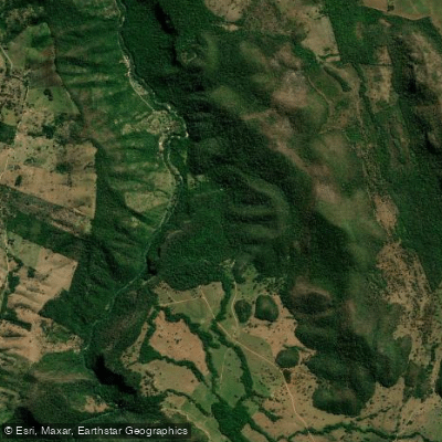
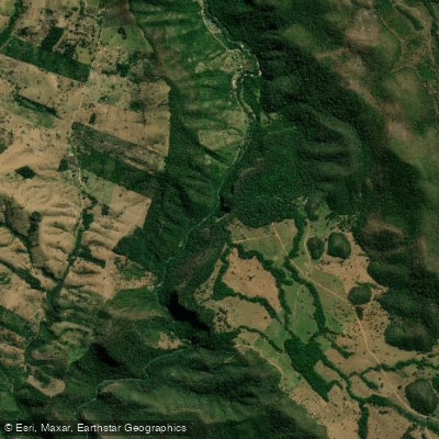
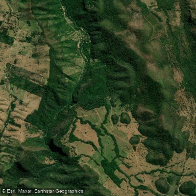
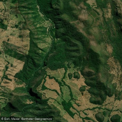
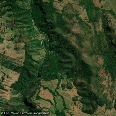
Learn how to get on Rio Salobra. Uncover great paddling access points, boat ramps, and all the facilities you need for an unforgettable day on the water. Some locations shown may border or include private property. Always check property boundaries and applicable regulations before visiting. PaddleWays's Public & Private Land layer can help you plan your access with confidence.
Paddle smarter with real-time insights
Whether you're en route and conditions shift or you're looking for the best spot based on current flows, we enable you to make informed decisions on the fly.







Mato Grosso Do Sul licenses and regulations
No licenses or regulations available for Mato Grosso Do Sul.
Find Places to Paddle

Over 400,000 Places to Paddle
Every user gets free access to launch points, boat ramps, and public property parcels.


Water and weather conditions (10 day forecast)
See the best times to paddle Rio Salobra and check the forecast before you go.
Miranda
Paddling near Rio Salobra
Explore Mato Grosso Do Sul waters
Top paddling waters
No waters available right now.
Popular Cities
Loading popular cities...
Explore near Rio Salobra
Access points
More in Mato Grosso Do Sul

Smarter Paddling Starts in the App.
Paddleways gives you everything you need to plan smarter, paddle better, and own every trip from first launch to takeout.