Ribeirão Água-Branca
Ribeirão Água-Branca
- Boat Ramps
- 0
- Access Points
- 0
- Campsites
- 0
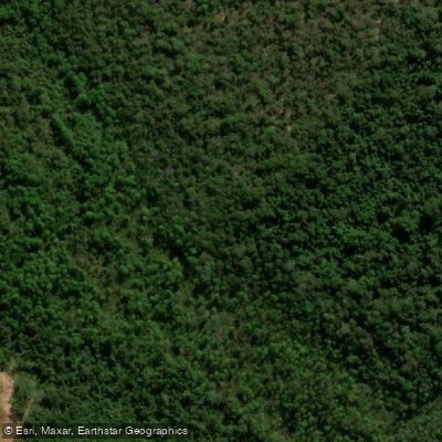
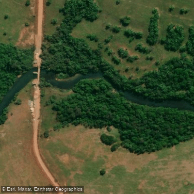
Ribeirão Água-Branca in Mato Grosso, Brazil, is a watercourse that leads to the prominent Água Branca waterfall, located in the municipality of Pedro Gomes, Mato Grosso do Sul. The waterfall itself is a significant natural feature, with a reported height of approximately 83 meters, making it the second tallest in the state of Mato Grosso do Sul. The area surrounding the water body is characterized by native fauna and vegetation, highlighting its ecological importance and potential for ecotourism. Access to the waterfall and its associated stream involves a trekking route, with a specific trail starting near Raizama in Mato Grosso do Sul. The region's natural state is under potential threat, as there have been concerns raised about the possible disappearance of the Água Branca waterfall due to proposed hydroelectric dam construction. This indicates that the future character of the water body could be subject to significant change. For paddlers, this suggests that any trip planning should consider the possibility of altered water levels or access in the future, and current information should be verified closely before embarking. The area's primary draw is its scenic and ecological value, centered on the impressive waterfall within a native landscape.
Water access, boat ramps & amenities
Learn how to get on Ribeirão Água-Branca. Uncover great paddling access points, boat ramps, and all the facilities you need for an unforgettable day on the water. Some locations shown may border or include private property. Always check property boundaries and applicable regulations before visiting. PaddleWays's Public & Private Land layer can help you plan your access with confidence.
Paddle smarter with real-time insights
Whether you're en route and conditions shift or you're looking for the best spot based on current flows, we enable you to make informed decisions on the fly.







Mato Grosso licenses and regulations
No licenses or regulations available for Mato Grosso.
Find Places to Paddle

Over 400,000 Places to Paddle
Every user gets free access to launch points, boat ramps, and public property parcels.


Water and weather conditions (10 day forecast)
See the best times to paddle Ribeirão Água-Branca and check the forecast before you go.
No forecast data available.
Explore Mato Grosso waters
Top paddling waters
No waters available right now.
Popular Cities
Loading popular cities...
Explore near Ribeirão Água-Branca
Nearby waters
More in Mato Grosso

Smarter Paddling Starts in the App.
Paddleways gives you everything you need to plan smarter, paddle better, and own every trip from first launch to takeout.