Rio Teles Pires ou São Manoel
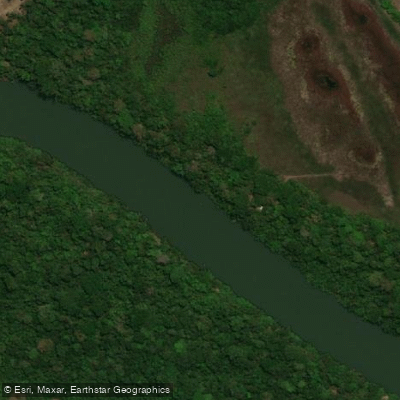
Rio Teles Pires ou São Manoel
- Boat Ramps
- 0
- Access Points
- 0
- Campsites
- 0
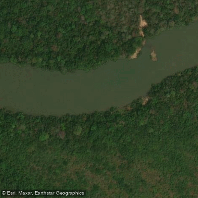
The Rio Teles Pires, also known as the Rio São Manoel, is a major Amazonian river approximately 1,370 kilometers long. It originates in the Serra Azul in central Mato Grosso, flowing generally north-northwestward before joining the Juruena River to form the Tapajós, one of the Amazon's principal tributaries. For roughly 320 kilometers of its lower course, the river marks the state boundary between Mato Grosso and Pará.
The river's character is defined by significant hydraulic complexity. Its course is frequently interrupted by falls and rapids, making it a technically demanding waterway. Paddlers should be aware that the river now hosts four large hydroelectric dams in operation — Sinop, Colíder, Teles Pires, and São Manoel — which have substantially altered flow regimes and created major physical obstacles along the river corridor. These structures represent serious hazards and logistical barriers for any through-paddling attempt, and portaging around them would require careful advance planning.
The junction of the Rio Apiacás with the Rio São Manoel, where the combined flow continues as the Teles Pires, is a notable geographic feature along the route. The river supports a diverse fish population, including pirarara (red-tailed catfish) and jaú (giant catfish), reflecting the broader Amazonian ecosystem. Indigenous communities maintain a presence along the river's banks, particularly in the vicinity of the São Manoel dam area, and paddlers should be respectful of indigenous territories when planning routes.
The most significant settlement along the river is Alta Floresta in Mato Grosso. Given the river's remote Amazonian setting, self-sufficiency and thorough logistical preparation are essential for any paddling expedition on this waterway.
Water access, boat ramps & amenities
Learn how to get on Rio Teles Pires ou São Manoel. Uncover great paddling access points, boat ramps, and all the facilities you need for an unforgettable day on the water. Some locations shown may border or include private property. Always check property boundaries and applicable regulations before visiting. PaddleWays's Public & Private Land layer can help you plan your access with confidence.
Paddle smarter with real-time insights
Whether you're en route and conditions shift or you're looking for the best spot based on current flows, we enable you to make informed decisions on the fly.







Mato Grosso licenses and regulations
No licenses or regulations available for Mato Grosso.
Find Places to Paddle

Over 400,000 Places to Paddle
Every user gets free access to launch points, boat ramps, and public property parcels.


Water and weather conditions (10 day forecast)
See the best times to paddle Rio Teles Pires ou São Manoel and check the forecast before you go.
Uhe Do Salto Magessi
All Flow Stations
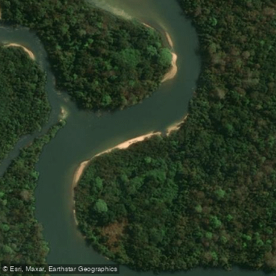
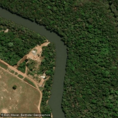
Explore Mato Grosso waters
Top paddling waters
No waters available right now.
Popular Cities
Loading popular cities...
Explore near Rio Teles Pires ou São Manoel
More in Mato Grosso

Smarter Paddling Starts in the App.
Paddleways gives you everything you need to plan smarter, paddle better, and own every trip from first launch to takeout.