Rio Arinos
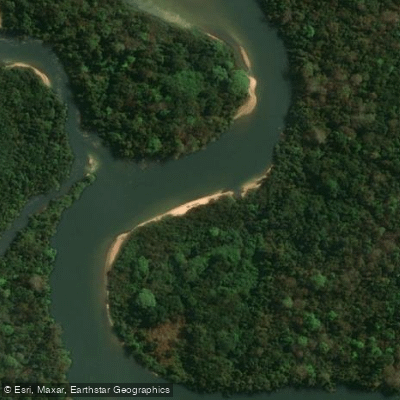
Rio Arinos
- Boat Ramps
- 0
- Access Points
- 0
- Campsites
- 0
The Rio Arinos is a significant river in Mato Grosso, Brazil, flowing for approximately 680 kilometers before it empties into the Juruena River. This river offers a substantial and remote paddling journey, as indicated by an expedition that spent 52 days traveling 620 miles down a route that included the Rio Arinos. The experience is characterized by a wilderness setting, requiring a combination of paddling, wading, carrying, and drifting, suggesting a varied and potentially challenging adventure through jungle terrain. Online paddling resources catalog access points for the Rio Arinos, indicating it is a recognized destination for kayaking and paddle boarding. The river is also noted for its fishing, with species like the Vampire fish, Trahira, and Piavuçu being popular catches. The river's coordinates are approximately 10°24′49′′S, placing it in the heart of the Brazilian state of Mato Grosso. Due to the expedition's description and the river's considerable length, paddlers should anticipate a multi-day, self-sufficient trip with logistical challenges, rather than a casual day outing. The surrounding area is part of the world's largest rainforest, implying a dense, natural environment rich in wildlife and untouched scenery.
Water access, boat ramps & amenities
Learn how to get on Rio Arinos. Uncover great paddling access points, boat ramps, and all the facilities you need for an unforgettable day on the water. Some locations shown may border or include private property. Always check property boundaries and applicable regulations before visiting. PaddleWays's Public & Private Land layer can help you plan your access with confidence.
Paddle smarter with real-time insights
Whether you're en route and conditions shift or you're looking for the best spot based on current flows, we enable you to make informed decisions on the fly.







Mato Grosso licenses and regulations
No licenses or regulations available for Mato Grosso.
Find Places to Paddle

Over 400,000 Places to Paddle
Every user gets free access to launch points, boat ramps, and public property parcels.


Water and weather conditions (10 day forecast)
See the best times to paddle Rio Arinos and check the forecast before you go.
Fazenda Cachoeira Grande
All Flow Stations
Paddling near Rio Arinos
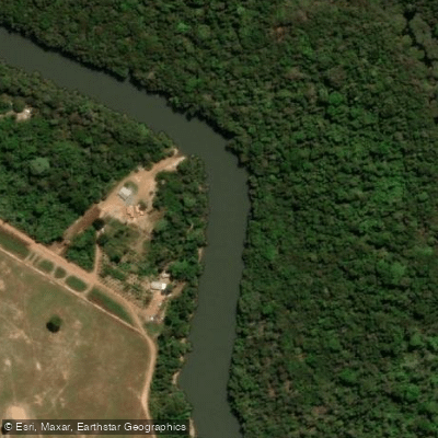
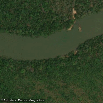
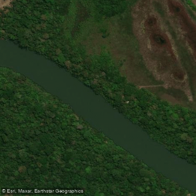
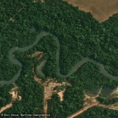
Explore Mato Grosso waters
Top paddling waters
No waters available right now.
Popular Cities
Loading popular cities...
Explore near Rio Arinos

Smarter Paddling Starts in the App.
Paddleways gives you everything you need to plan smarter, paddle better, and own every trip from first launch to takeout.