Ribeirão Casa Branca
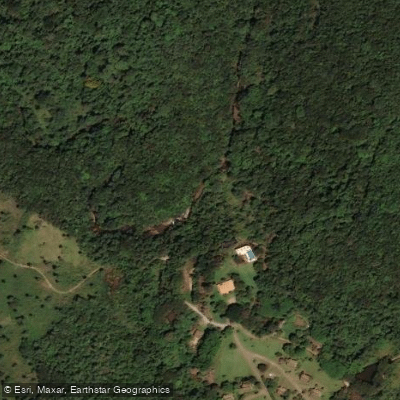
Ribeirão Casa Branca
- Boat Ramps
- 0
- Access Points
- 0
- Campsites
- 0
The Ribeirão Casa Branca in Minas Gerais is featured as part of a specific hiking trail known as Ribeirão Casa Branca - Cachoeira do Anão. This trail is an out-and-back route covering a distance of 6.6 kilometers, or approximately 4.1 miles, with a notable elevation gain of 205 meters (672 feet). The trail follows the watercourse, leading to a destination waterfall named Cachoeira do Anão. The typical time to complete the entire trail is estimated at 2 to 2.5 hours, suggesting a moderately paced walk rather than a paddling trip. The character of the water body is defined by its role within this trail system, where it serves as a scenic feature culminating in a waterfall. The primary activity documented for this location is hiking along its banks. No information is available regarding specific access points for boat launching, seasonal water conditions, water temperatures, water quality, paddling regulations, on-water hazards, or facilities for paddlers. The trail's presence indicates the area is used for recreational access to natural features, but details pertinent to planning a paddling expedition on the water itself are not provided.
Water access, boat ramps & amenities
Learn how to get on Ribeirão Casa Branca. Uncover great paddling access points, boat ramps, and all the facilities you need for an unforgettable day on the water. Some locations shown may border or include private property. Always check property boundaries and applicable regulations before visiting. PaddleWays's Public & Private Land layer can help you plan your access with confidence.
Paddle smarter with real-time insights
Whether you're en route and conditions shift or you're looking for the best spot based on current flows, we enable you to make informed decisions on the fly.







Minas Gerais licenses and regulations
No licenses or regulations available for Minas Gerais.
Find Places to Paddle

Over 400,000 Places to Paddle
Every user gets free access to launch points, boat ramps, and public property parcels.


Water and weather conditions (10 day forecast)
See the best times to paddle Ribeirão Casa Branca and check the forecast before you go.
Linha Férrea Montante
All Flow Stations
Paddling near Ribeirão Casa Branca
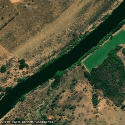
Rio das Velhas
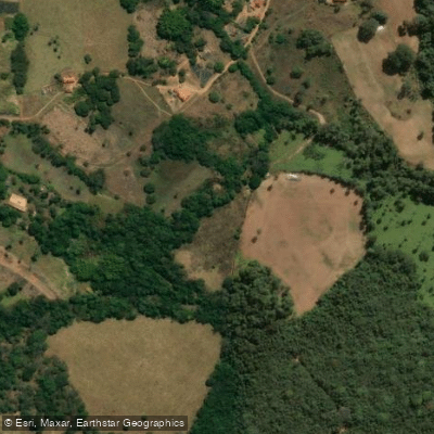
Ribeirão Serra Azul
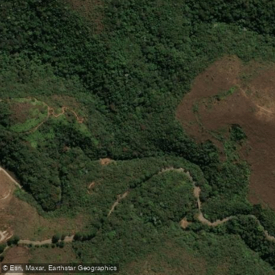
Ribeirão dos Macacos
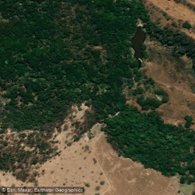
Ribeirão do Cipó
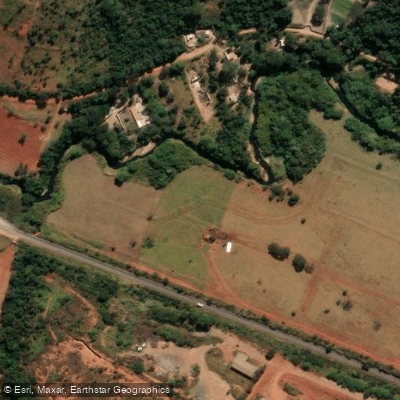
Ribeirão Paciência
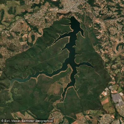
Reservatório Serra Azul
Ribeirão dos Macacos
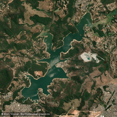
Represa De Várzea Das Flores
Ribeirão dos Coelhos ou Ribeirão dos Machados
Explore Minas Gerais waters
Top paddling waters
No waters available right now.
Popular Cities
Loading popular cities...
Explore near Ribeirão Casa Branca

Smarter Paddling Starts in the App.
Paddleways gives you everything you need to plan smarter, paddle better, and own every trip from first launch to takeout.