Rio das Velhas
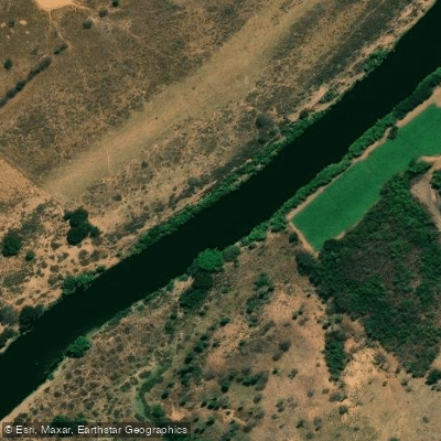
Rio das Velhas
- Boat Ramps
- 0
- Access Points
- 0
- Campsites
- 1
The Rio das Velhas stretches 801 kilometres through the state of Minas Gerais, making it the longest tributary of the São Francisco River basin. It originates at the Cachoeira Andorinhas waterfall in the municipality of Ouro Preto and flows north to its confluence with the São Francisco at Barra do Guaicuí, in the municipality of Várzea da Palma. Along its course it passes through 51 municipalities and serves as a critical water source for roughly 4.8 million people, including the state capital, Belo Horizonte.
The upper reaches near São Bartolomeu, a district of Ouro Preto, offer calm and clear water that is well suited to kayaking. Guided kayak tours operate in this area, notably through Caminho Velho Expedições, and the surroundings feature native forest, mountain scenery, and colonial-era architecture. Several waterfalls are found along the river's course, including Cachoeira Andorinhas, Cachoeira Catarina Mendes, Cachoeira do Bem-Te-Vi, Cachoeira do Pelado, Cachoeira Véu-da-Noiva, and Cachoeira Volta Dourada. The main channel is notably free of dams, which preserves longitudinal connectivity throughout much of the river.
Water quality is a significant consideration for paddlers. The upper course, particularly through and downstream of the Belo Horizonte metropolitan area, historically received large volumes of untreated urban sewage. Conditions improved following the commissioning of sewage treatment facilities on the Arrudas creek tributary around 2006 and the Onça creek tributary around 2010–2011, with measurable improvements in water clarity, odor, and fish diversity reported after each intervention. Paddlers should be aware that water quality varies considerably along the river's length, with the stretch near and below Belo Horizonte presenting greater contamination risk than the headwater sections near Ouro Preto.
Fish species documented in the river include the Dourado branco (Salminus hilarii) and Nile Tilapia (Oreochromis niloticus). The river carries deep historical significance, having been central to the gold and diamond mining era of Minas Gerais and serving as a commercial navigation route as far back as the nineteenth century, when steamships operated between Sabará and Guaicuí.
Water access, boat ramps & amenities
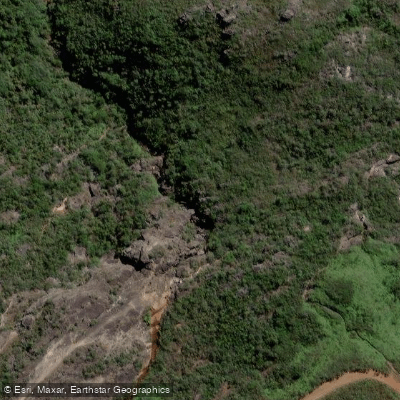
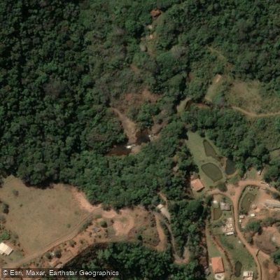
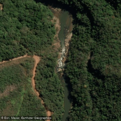
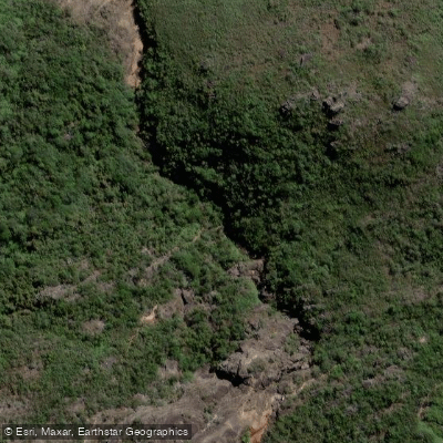
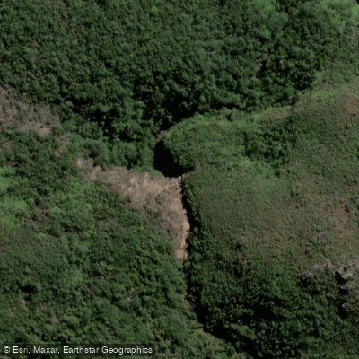
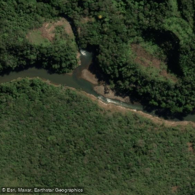
Learn how to get on Rio das Velhas. Uncover great paddling access points, boat ramps, and all the facilities you need for an unforgettable day on the water. Some locations shown may border or include private property. Always check property boundaries and applicable regulations before visiting. PaddleWays's Public & Private Land layer can help you plan your access with confidence.
Paddle smarter with real-time insights
Whether you're en route and conditions shift or you're looking for the best spot based on current flows, we enable you to make informed decisions on the fly.







Minas Gerais licenses and regulations
No licenses or regulations available for Minas Gerais.
Find Places to Paddle

Over 400,000 Places to Paddle
Every user gets free access to launch points, boat ramps, and public property parcels.


Water and weather conditions (10 day forecast)
See the best times to paddle Rio das Velhas and check the forecast before you go.
Pch Rio De Pedras Barramento
All Flow Stations
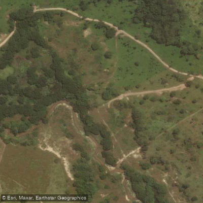
Paddling near Rio das Velhas
Ribeirão dos Macacos
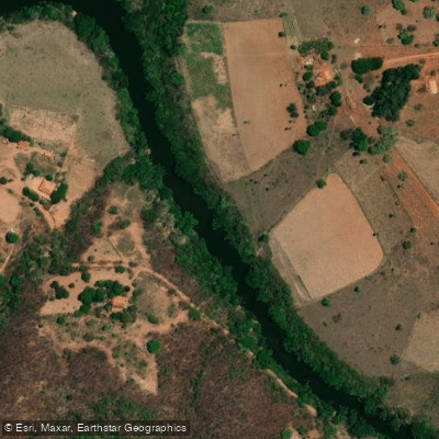
Rio Cipó
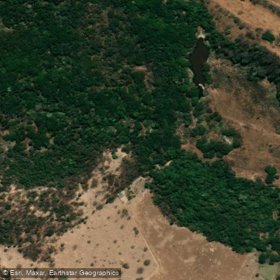
Ribeirão do Cipó
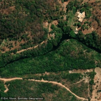
Rio Parauninha
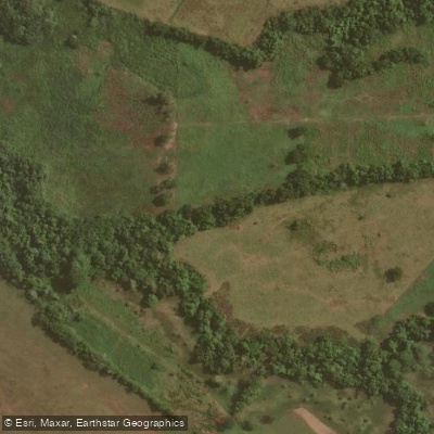
Ribeirão São João
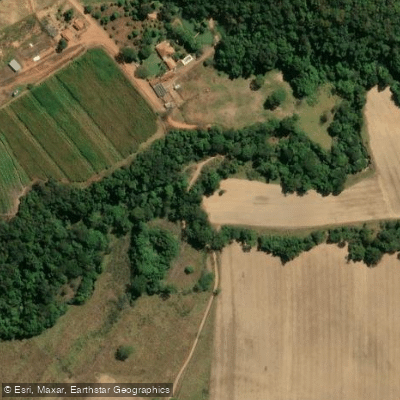
Ribeirão do Meio
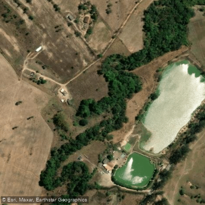
Ribeirão do Urubu
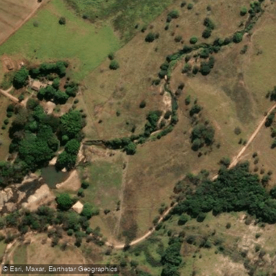
Rio Vermelho
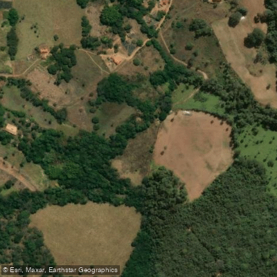
Ribeirão Serra Azul
Explore Minas Gerais waters
Top paddling waters
No waters available right now.
Popular Cities
Loading popular cities...
Explore near Rio das Velhas
Access points
Nearby waters
More in Minas Gerais

Smarter Paddling Starts in the App.
Paddleways gives you everything you need to plan smarter, paddle better, and own every trip from first launch to takeout.