Rio Cipó
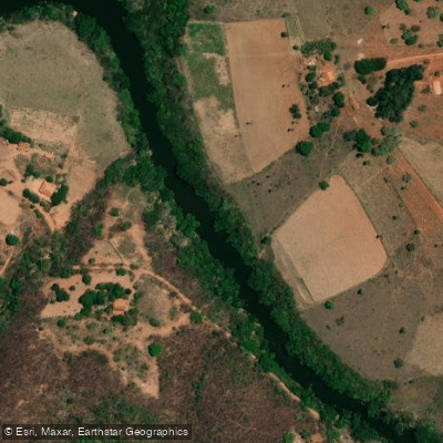
Rio Cipó
- Boat Ramps
- 0
- Access Points
- 0
- Campsites
- 0
The Rio Cipó originates within the Serra do Cipó National Park in Minas Gerais, formed at the confluence of the Rio Bocaina (also called Rio Palmital) and the Rio Mascates. It flows along the border between the municipalities of Santana do Riacho and Jaboticatubas before eventually draining into the Rio das Velhas. The river is characterized by a mix of waterfalls, rapids, and calmer stretches, making it suitable for a range of paddling styles and experience levels.
Kayaking and stand-up paddleboarding are the most common paddle activities on the river. Guided canoeing trips are available through local operators such as Cipó Trails, with at least one route traveling upstream to the confluence of the Rio Bocaina and Rio Mascates — the precise point where the Rio Cipó begins. This section features crystal-clear water and relatively undisturbed surroundings.
The Cachoeira Grande, one of the most prominent features along the river, is formed by the Rio Cipó itself. It measures approximately 60 metres wide and 10 metres high and is easily accessible, including for children and those with limited physical fitness. The surrounding complex includes the Rapids of Xica, Tomé, and Lageado, as well as several natural springs. Rafting is also practiced on the river, particularly around the more dynamic rapid sections.
The river sits within the Serra do Cipó National Park, which is part of the Espinhaço Mountain Range and the Cerrado biome. The park covers approximately 337 square kilometers and is recognized for its biodiversity, including endemic species. Wildlife in the broader park area includes the maned wolf. The park also features quartzite cliffs and high-altitude grassland terrain surrounding the river corridor.
Local outfitters offer guided paddling experiences, and the region has accommodation options in partnership with tour operators. The combination of accessible waterfalls and more technical rapid sections means the river can accommodate both casual paddlers and those seeking more active whitewater experiences.
Water access, boat ramps & amenities
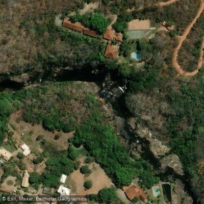
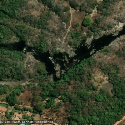
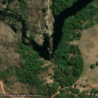
Learn how to get on Rio Cipó. Uncover great paddling access points, boat ramps, and all the facilities you need for an unforgettable day on the water. Some locations shown may border or include private property. Always check property boundaries and applicable regulations before visiting. PaddleWays's Public & Private Land layer can help you plan your access with confidence.
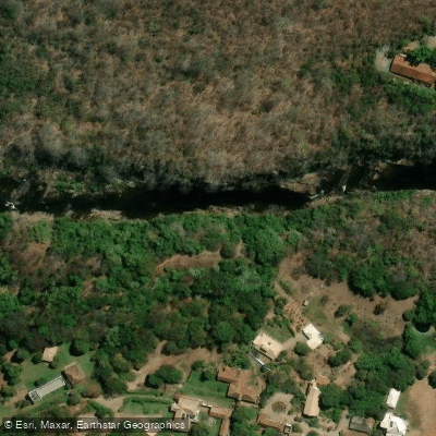
Paddle smarter with real-time insights
Whether you're en route and conditions shift or you're looking for the best spot based on current flows, we enable you to make informed decisions on the fly.







Minas Gerais licenses and regulations
No licenses or regulations available for Minas Gerais.
Find Places to Paddle

Over 400,000 Places to Paddle
Every user gets free access to launch points, boat ramps, and public property parcels.


Water and weather conditions (10 day forecast)
See the best times to paddle Rio Cipó and check the forecast before you go.
Santana Do Riacho
All Flow Stations
Paddling near Rio Cipó
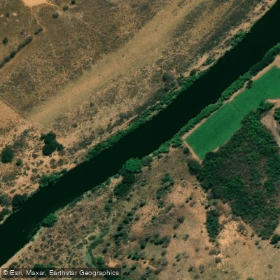
Rio das Velhas
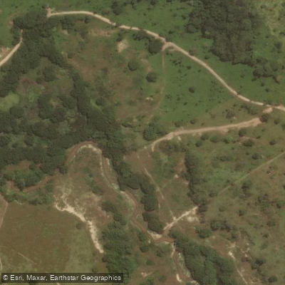
Ribeirão dos Macacos
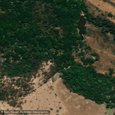
Ribeirão do Cipó
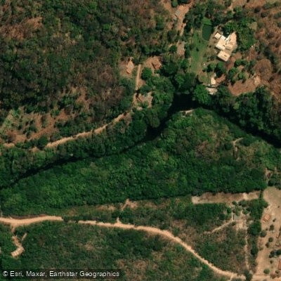
Rio Parauninha
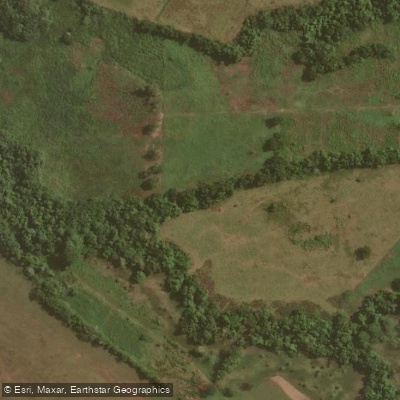
Ribeirão São João
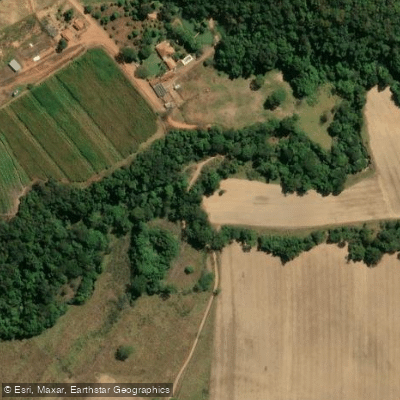
Ribeirão do Meio
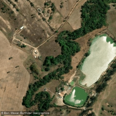
Ribeirão do Urubu
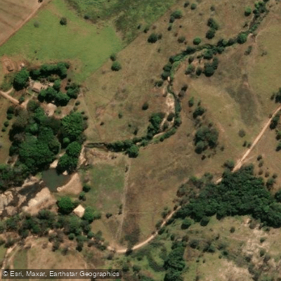
Rio Vermelho
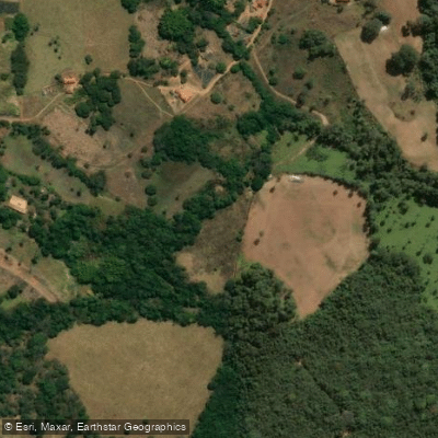
Ribeirão Serra Azul
Explore Minas Gerais waters
Top paddling waters
No waters available right now.
Popular Cities
Loading popular cities...
Explore near Rio Cipó

Smarter Paddling Starts in the App.
Paddleways gives you everything you need to plan smarter, paddle better, and own every trip from first launch to takeout.