Rio Pracuúba
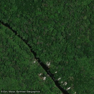
Rio Pracuúba
- Boat Ramps
- 0
- Access Points
- 0
- Campsites
- 0
The Rio Pracuúba is a river on Ilha de Marajó, the large island situated in the Amazon Delta in the state of Pará, northern Brazil. The river drains a basin of approximately 930 square kilometers and originates in the central forests of Marajó, flowing southeast through the municipalities of Muaná, São Sebastião da Boa Vista, Breves, and Curralinho before emptying into the Pará River at coordinates roughly 1°31′S, 49°30′W. Near its mouth, the Pracuúba is joined by the Marituba River and the Pracuúba-Mirim River, creating an intricate delta system with numerous islands, including Ilha do Teso, Tucupi Island, Santo Antônio Island, Coroca Island, and Chaves Island. The estuary extends approximately 42 kilometers and is notable for a significant presence of rubber trees along its banks. Left-bank tributaries include the Guajará River, while the Frechal River enters from the right.
A substantial portion of the river corridor passes through the Terra Grande-Pracuúba Extractive Reserve, a sustainable-use conservation unit of roughly 194,868 hectares established in 2006. Paddlers should be aware that access to the Pracuúba, as well as the nearby Canaticu River, becomes difficult during the summer dry season. The communities along the river cultivate açaí palms whose harvest ripens in winter, between the harvest seasons of other regions, which gives the local crop particular economic value.
The combination of a protected extractive reserve, a complex delta with multiple islands, and the broader Amazonian floodplain environment means paddlers can expect a remote, heavily forested setting with limited infrastructure. The seasonal access constraints are an important planning consideration: the dry season presents logistical challenges, making the wetter months more practical for travel on the river. Given the river's location deep within Marajó and its passage through a federally designated conservation reserve, paddlers should research any entry requirements or regulations associated with the Terra Grande-Pracuúba Extractive Reserve before planning a trip.
Water access, boat ramps & amenities
Learn how to get on Rio Pracuúba. Uncover great paddling access points, boat ramps, and all the facilities you need for an unforgettable day on the water. Some locations shown may border or include private property. Always check property boundaries and applicable regulations before visiting. PaddleWays's Public & Private Land layer can help you plan your access with confidence.
Paddle smarter with real-time insights
Whether you're en route and conditions shift or you're looking for the best spot based on current flows, we enable you to make informed decisions on the fly.







Pará licenses and regulations
No licenses or regulations available for Pará.
Find Places to Paddle

Over 400,000 Places to Paddle
Every user gets free access to launch points, boat ramps, and public property parcels.


Water and weather conditions (10 day forecast)
See the best times to paddle Rio Pracuúba and check the forecast before you go.
No forecast data available.
Paddling near Rio Pracuúba
Rio Pará
Rio Moju
Baía de Marajó
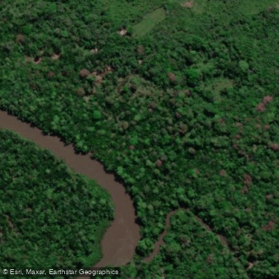
Rio Guajará
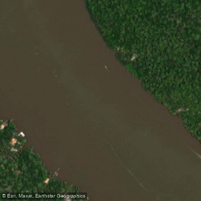
Rio Muaná
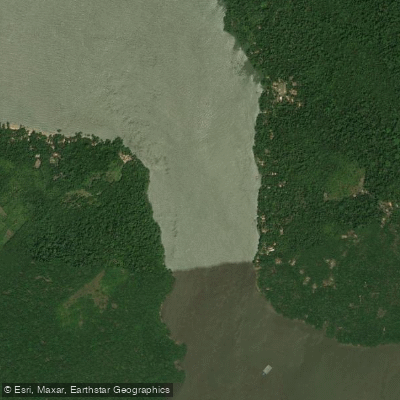
Furo do Capim
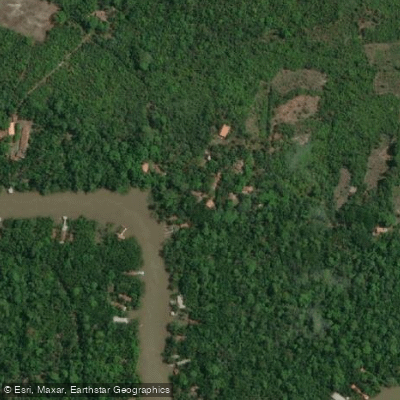
Rio Xingu
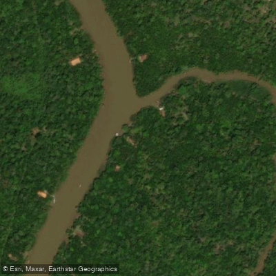
Rio Itanimbuca
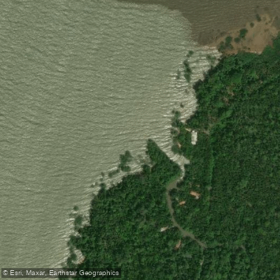
Praia do Pirocaba
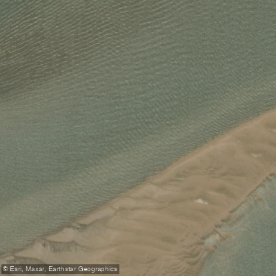
Rio Anapu
Explore Pará waters
Top paddling waters
No waters available right now.
Popular Cities
Loading popular cities...
Explore near Rio Pracuúba

Smarter Paddling Starts in the App.
Paddleways gives you everything you need to plan smarter, paddle better, and own every trip from first launch to takeout.