Rio Guaraguaçu
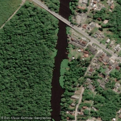
Rio Guaraguaçu
- Boat Ramps
- 0
- Access Points
- 0
- Campsites
- 0
The Rio Guaraguaçu is a lowland coastal river situated in the Lagamar region of Paraná state, flowing northward through a broad floodplain surrounded by marine coastal plain before draining into Paranaguá Bay. The river lies within the Atlantic Rainforest biome, and the broader Lagamar region — a network of estuaries spanning south and southeast Brazil — is recognized as both a UNESCO Biosphere Reserve and a World Heritage Site, reflecting its significant conservation value. The river's coordinates place it at approximately 25°32′43.1″S, 48°27′51.1″W.
The basin supports a range of ecosystem services including navigation and recreational activities, and the river is home to various fish species including fat snook, common snook, trahira, and blue runner, with nearby waters in Paranaguá Bay also holding lookdown and gafftopsail sea catfish. The presence of endemic fish species adds to the ecological interest of the area.
Paddlers should be aware of notable water quality concerns. The river basin faces documented pressures from high levels of untreated sewage and landfill leachates entering the waterway, which raise hygiene and safety considerations for anyone with direct water contact. Macro-drainage projects in the area have also introduced large volumes of saltwater into freshwater reaches, altering the river's natural character in some sections. Invasive non-native species have been recorded in the basin as well.
Additional environmental pressures from expanding port activities and rapid population growth in the coastal region of Paraná continue to affect the river. The State Environmental Institute (IAT) has proposed classifying stretches of the Guaraguaçu as Class 2 under Brazilian water quality standards, though no formal classification is currently in force for the entire river course. Paddlers planning a trip should factor in these water quality conditions and consult current local guidance before entering the water.
Water access, boat ramps & amenities
Learn how to get on Rio Guaraguaçu. Uncover great paddling access points, boat ramps, and all the facilities you need for an unforgettable day on the water. Some locations shown may border or include private property. Always check property boundaries and applicable regulations before visiting. PaddleWays's Public & Private Land layer can help you plan your access with confidence.
Paddle smarter with real-time insights
Whether you're en route and conditions shift or you're looking for the best spot based on current flows, we enable you to make informed decisions on the fly.







Paraná licenses and regulations
No licenses or regulations available for Paraná.
Find Places to Paddle

Over 400,000 Places to Paddle
Every user gets free access to launch points, boat ramps, and public property parcels.


Water and weather conditions (10 day forecast)
See the best times to paddle Rio Guaraguaçu and check the forecast before you go.
Guaraguaçu Iii
Paddling near Rio Guaraguaçu
Rio Iguaçu
Rio Nhundiaquara
Ponta da Pita
Rio Açungui
Rio Piraquara
Praia do Gomes
Rio Cubatão
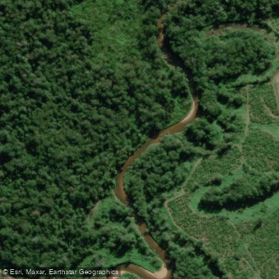
Rio Cubatãozinho
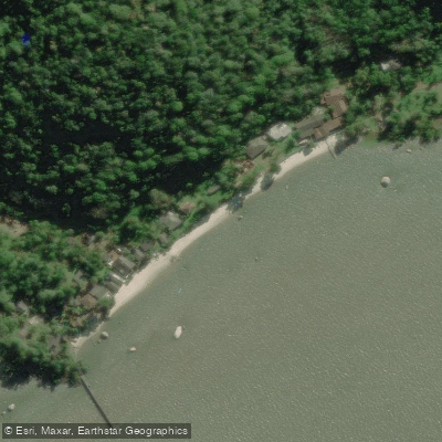
Ilha de Europinha
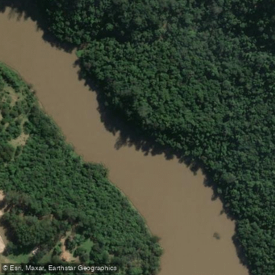
Rio Tibagi
Explore Paraná waters
Top paddling waters
No waters available right now.
Popular Cities
Loading popular cities...
Explore near Rio Guaraguaçu

Smarter Paddling Starts in the App.
Paddleways gives you everything you need to plan smarter, paddle better, and own every trip from first launch to takeout.