Rio Nhundiaquara
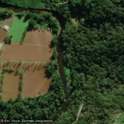
Rio Nhundiaquara
- Boat Ramps
- 0
- Access Points
- 1
- Campsites
- 4
The Rio Nhundiaquara flows through the Serra do Mar on the coast of Paraná, Brazil, running approximately 32–37 kilometers before emptying into Paranaguá Bay. The river passes directly through the historic town of Morretes, where it has long served as the central geographic and cultural feature of the community. Historically, it was the first natural route connecting the coast to the Paraná plateau and was once known as the Cubatão River, reputed to be among the richest gold-bearing rivers in the region.
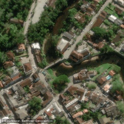
The river's character through Morretes is calm and accessible, with the town's restaurants, gardens, and walking paths lining its banks. The water is cool and refreshing, making it a popular spot for swimming and bathing, particularly during the warmer summer months. The river is generally considered safe for swimming by both locals and visitors. Activities on the water include kayaking, canoeing, tubing (boia cross), and boat tours. Local operators such as Calango Expedições offer guided paddling experiences on the river. Boat trips along the river provide a view of Morretes from the water and are a recognized way to experience the town.
Access to the riverbanks in Morretes is free of charge, though organized activities such as kayaking or guided boat tours require separate booking and fees. The river has 19 tributaries and two distributaries, the Rio Ipiranga and the Rio São João, giving it a moderately complex watershed. The surrounding landscape is the Atlantic Forest of the Serra do Mar, which frames the river corridor with dense vegetation.
Morretes is reachable by train via the Serra Verde Express, a scenic rail journey from Curitiba that takes roughly three to four hours and is a common way for visitors to arrive. Train tickets, particularly for weekends and holidays, should be booked well in advance due to high demand. Once in Morretes, the riverfront area is compact and walkable, making it straightforward to access the water directly from the town center.
Water access, boat ramps & amenities
Learn how to get on Rio Nhundiaquara. Uncover great paddling access points, boat ramps, and all the facilities you need for an unforgettable day on the water. Some locations shown may border or include private property. Always check property boundaries and applicable regulations before visiting. PaddleWays's Public & Private Land layer can help you plan your access with confidence.
Paddle smarter with real-time insights
Whether you're en route and conditions shift or you're looking for the best spot based on current flows, we enable you to make informed decisions on the fly.







Paraná licenses and regulations
No licenses or regulations available for Paraná.
Find Places to Paddle

Over 400,000 Places to Paddle
Every user gets free access to launch points, boat ramps, and public property parcels.


Water and weather conditions (10 day forecast)
See the best times to paddle Rio Nhundiaquara and check the forecast before you go.
Prainhas
All Flow Stations
Paddling near Rio Nhundiaquara
Rio Iguaçu
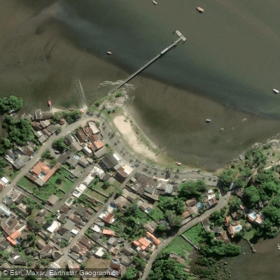
Ponta da Pita
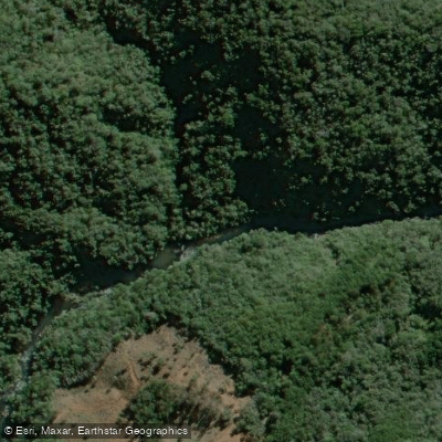
Rio Açungui
Rio Piraquara
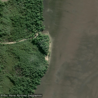
Praia do Gomes
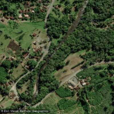
Rio Cubatão
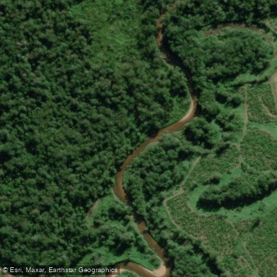
Rio Cubatãozinho
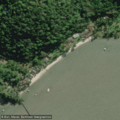
Ilha de Europinha
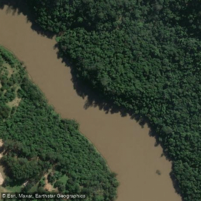
Rio Tibagi
Explore Paraná waters
Top paddling waters
No waters available right now.
Popular Cities
Loading popular cities...
Explore near Rio Nhundiaquara

Smarter Paddling Starts in the App.
Paddleways gives you everything you need to plan smarter, paddle better, and own every trip from first launch to takeout.