Represa Do Rio Verde
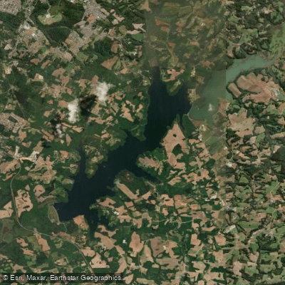
Represa Do Rio Verde
- Boat Ramps
- 0
- Access Points
- 1
- Campsites
- 0
Represa do Rio Verde is a reservoir located between Campo Largo and Araucária in the metropolitan region of Curitiba, Paraná, roughly 35 km from the city center. The reservoir covers approximately 6 km² and sits in a highland (serra) setting characterized by araucária forest. Water depths average between 4 and 10 meters, with a maximum depth of around 18 meters. Typical water temperatures range from 16 to 22°C, reflecting the cooler climate of the region.
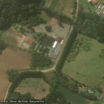
Access to the reservoir is via rural roads from Campo Largo or Araucária, and signage along these roads can be inconsistent. Using GPS with the search term "Represa do Rio Verde Campo Largo" is recommended for navigation. The nearest reference point for water access is Pesque Pague Boaron.
Paddlers should be aware that boating on the reservoir is generally restricted. Boat-based activity is subject to limitations, and some areas around the water are restricted entirely. It is strongly advisable to verify current regulations and which access points are authorized before visiting, as rules may vary by location around the reservoir.
The surrounding landscape features araucária trees typical of the Paraná highlands, giving the area a distinctive visual character. Spring and summer are the most favorable seasons for activity on the water, aligning with the warmer end of the reservoir's temperature range. The water is cold relative to lowland Brazilian reservoirs, consistent with the elevated terrain.
Given the restrictions on boating and the variable access situation, paddlers planning a visit should confirm permitted launch points and any applicable regulations with local authorities or the relevant managing body before the trip.
Water access, boat ramps & amenities
Learn how to get on Represa Do Rio Verde. Uncover great paddling access points, boat ramps, and all the facilities you need for an unforgettable day on the water. Some locations shown may border or include private property. Always check property boundaries and applicable regulations before visiting. PaddleWays's Public & Private Land layer can help you plan your access with confidence.
Paddle smarter with real-time insights
Whether you're en route and conditions shift or you're looking for the best spot based on current flows, we enable you to make informed decisions on the fly.







Paraná licenses and regulations
No licenses or regulations available for Paraná.
Find Places to Paddle

Over 400,000 Places to Paddle
Every user gets free access to launch points, boat ramps, and public property parcels.


Water and weather conditions (10 day forecast)
See the best times to paddle Represa Do Rio Verde and check the forecast before you go.
Caratuva
Paddling near Represa Do Rio Verde
Rio Iguaçu
Rio Açungui
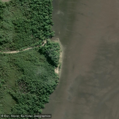
Praia do Gomes
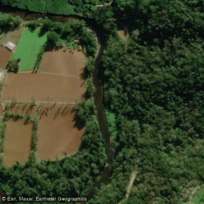
Rio Nhundiaquara
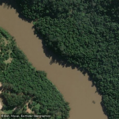
Rio Tibagi
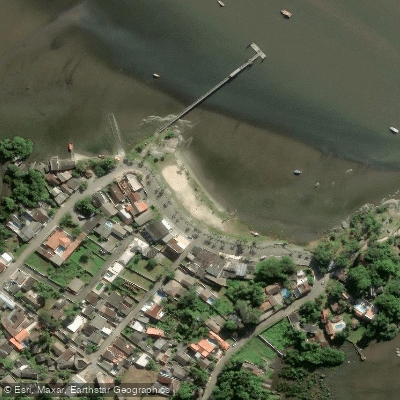
Ponta da Pita
Rio itaqui
Rio Tamanduá
Rio Cubatão
Explore Paraná waters
Top paddling waters
No waters available right now.
Popular Cities
Loading popular cities...
Explore near Represa Do Rio Verde

Smarter Paddling Starts in the App.
Paddleways gives you everything you need to plan smarter, paddle better, and own every trip from first launch to takeout.