Represa Do Salto Osorio
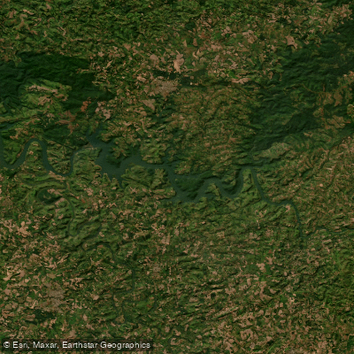
Represa Do Salto Osorio
- Boat Ramps
- 0
- Access Points
- 0
- Campsites
- 0
Represa do Salto Osório is a reservoir of approximately 51 square kilometers formed on the Rio Iguaçu in the southwestern corner of Paraná, Brazil. It sits between the municipalities of Quedas do Iguaçu and São Jorge d'Oeste, roughly 480 kilometers from Curitiba via BR-277, about 120 kilometers from Cascavel, and only 20–30 kilometers from Quedas do Iguaçu. The reservoir was created by the Salto Osório hydroelectric dam, a 56-meter-high, 750-meter-long rock-fill embankment structure completed in 1975 and operated by ENGIE Brasil (formerly Tractebel Energia), with an installed capacity of over 1,100 MW.
The reservoir occupies a valley carved through the Planalto das Araucárias, a geomorphological unit characterized by sedimentary basins and varied relief. Toward its upper end the lake becomes notably narrow and enclosed, with steep valley walls that make access to the water extremely difficult in those sections. The more accessible portions of the reservoir are served by local ranchos — waterfront properties that typically offer boat rentals and basic support infrastructure for visitors. No dedicated public boat ramps exist for the reservoir.
Submerged timber and aquatic vegetation are prominent features throughout the reservoir, particularly in the shallower arms and coves. These structures concentrate fish and are the most productive areas for anglers, but they also represent a navigation hazard for paddlers, as submerged branches can snag hulls and paddle blades. Water depths in these vegetated areas tend to run between 3 and 8 meters.
The reservoir is home to freshwater species including Corvina de Água Doce, Tilápia (both Oreochromis niloticus and Coptodon rendalli), Pacu, and Traíra. Fishing activity is consistent throughout the year, with mornings and late afternoons generally considered the most productive periods. Brazil requires recreational vessels to be registered with the naval authority and to carry a valid Vessel Inscription Title (TIE/TIEM) before operating on inland waters; paddlers using motorized craft should verify current registration requirements.
The surrounding landscape falls within the broader Araucária plateau region of southern Brazil. Local access roads lead to the ranchos, and GPS navigation to "Represa Salto Osório PR" is the standard approach for visitors arriving by road.
Water access, boat ramps & amenities
Learn how to get on Represa Do Salto Osorio. Uncover great paddling access points, boat ramps, and all the facilities you need for an unforgettable day on the water. Some locations shown may border or include private property. Always check property boundaries and applicable regulations before visiting. PaddleWays's Public & Private Land layer can help you plan your access with confidence.
Paddle smarter with real-time insights
Whether you're en route and conditions shift or you're looking for the best spot based on current flows, we enable you to make informed decisions on the fly.







Paraná licenses and regulations
No licenses or regulations available for Paraná.
Find Places to Paddle

Over 400,000 Places to Paddle
Every user gets free access to launch points, boat ramps, and public property parcels.


Water and weather conditions (10 day forecast)
See the best times to paddle Represa Do Salto Osorio and check the forecast before you go.
Salto Santiago Rg211A
All Flow Stations
Paddling near Represa Do Salto Osorio
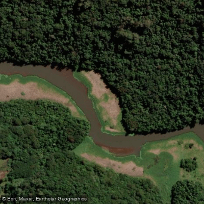
Rio São Francisco
Rio Iguaçu
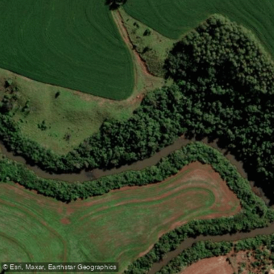
Rio São Francisco Falso-Braco Norte
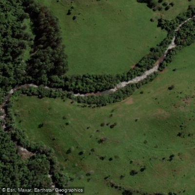
Rio Salto
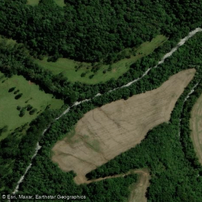
Rio Tormenta
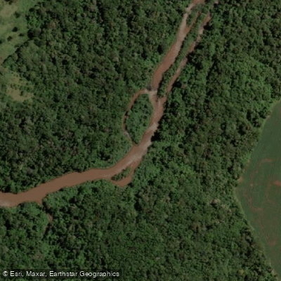
Rio São Francisco Falso
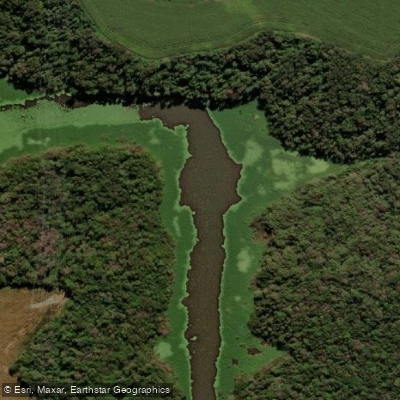
Rio Ocoi
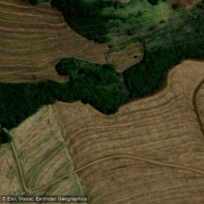
Ribeirão do Veado
Explore Paraná waters
Top paddling waters
No waters available right now.
Popular Cities
Loading popular cities...
Explore near Represa Do Salto Osorio

Smarter Paddling Starts in the App.
Paddleways gives you everything you need to plan smarter, paddle better, and own every trip from first launch to takeout.