Açude Araçagi
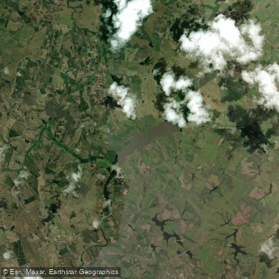
Açude Araçagi
- Boat Ramps
- 0
- Access Points
- 0
- Campsites
- 0
Açude Araçagi, also known as Açude Aruá, is a reservoir located in the municipality of Araçagi in the state of Paraíba, Brazil. It sits between the municipalities of Araçagi and Itapororoca, impounding the Rio Araçagi, a tributary of the Rio Mamanguape. The reservoir has a maximum capacity of 63,289,037 m³, covers approximately 1.4 square miles of surface area, and was formed behind an earthen dam standing 27 meters in height. Construction began in 1999 under a partnership between the Paraíba state government and the federal Ministry of National Integration, with the reservoir officially inaugurated in 2002.
The primary purposes of the reservoir are municipal water supply and agricultural irrigation, serving dozens of municipalities across the Brejo and Agreste regions of Paraíba. The reservoir also functions as a node in a larger regional water-transfer system, with one infrastructure corridor running from the Rio Gurinhém to Açude Araçagi and another planned to continue from the reservoir toward the Rio Camaratuba. This operational role means water levels can be subject to management decisions beyond local rainfall patterns.
The surrounding watershed is characterized by intense agricultural activity, and during the reservoir's early years, irregular use led to the deposit of organic matter and various concentrations of agrochemicals into the water. A 2013 water quality assessment by SUDEMA classified the water quality as "regular." More recently, municipal authorities, CAGEPA, SUDEMA, and EMPAER have engaged in planning for reforestation of the reservoir's margins, indicating ongoing environmental management efforts. An active Associação dos Piscicultores de Araçagi (fish farmers' association) operates on or near the water body, which paddlers should be aware of when planning routes.
The reservoir is accessible by road via the PB-057 and BR-101 highways. No dedicated boat ramps or formal paddling access points have been established at this location. The region falls within the semi-arid zone of northeastern Brazil, with the surrounding drainage network composed largely of intermittent streams, meaning the reservoir's water level can fluctuate considerably depending on seasonal rainfall patterns.
Water access, boat ramps & amenities
Learn how to get on Açude Araçagi. Uncover great paddling access points, boat ramps, and all the facilities you need for an unforgettable day on the water. Some locations shown may border or include private property. Always check property boundaries and applicable regulations before visiting. PaddleWays's Public & Private Land layer can help you plan your access with confidence.
Paddle smarter with real-time insights
Whether you're en route and conditions shift or you're looking for the best spot based on current flows, we enable you to make informed decisions on the fly.







Paraíba licenses and regulations
No licenses or regulations available for Paraíba.
Find Places to Paddle

Over 400,000 Places to Paddle
Every user gets free access to launch points, boat ramps, and public property parcels.


Water and weather conditions (10 day forecast)
See the best times to paddle Açude Araçagi and check the forecast before you go.
Tainha
All Flow Stations
Paddling near Açude Araçagi
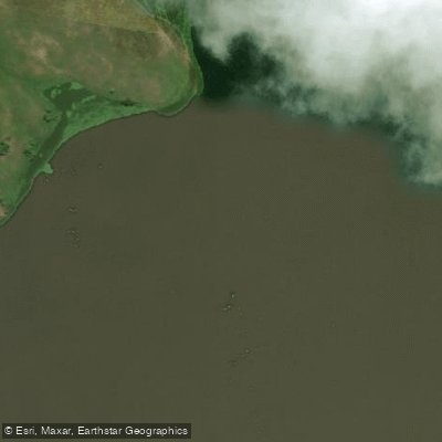
Rio Mamanguape
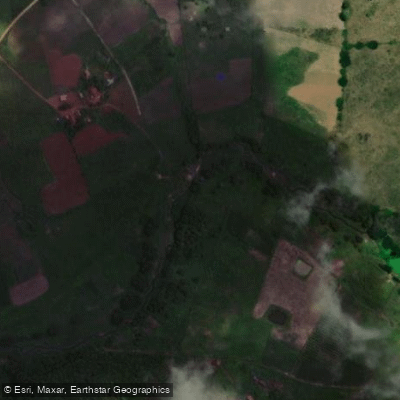
Rio Mamamguape
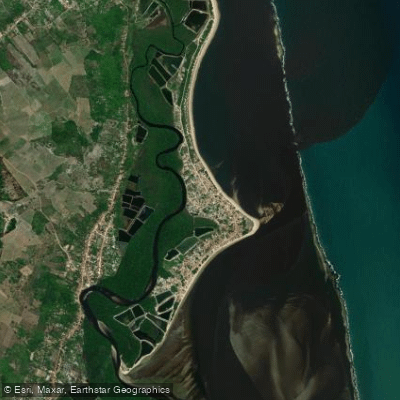
Praia do Coqueirinho
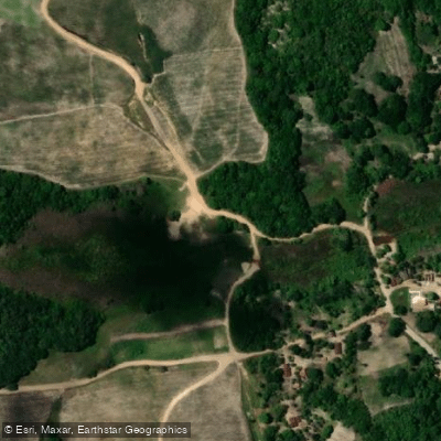
Rio Jacaré
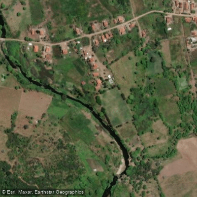
Rio Bodocongó
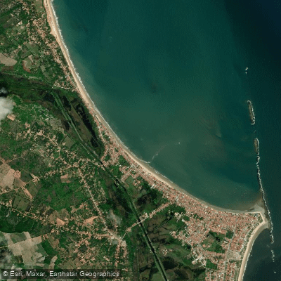
Praia do Forte
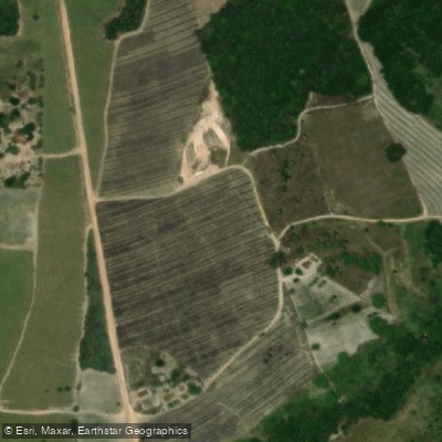
Rio Mamuaba
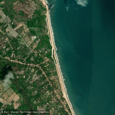
Praia do Giz Branco
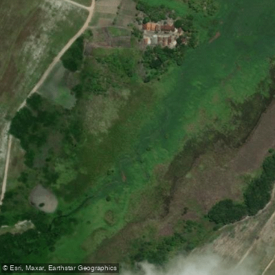
Rio Gramame
Explore Paraíba waters
Top paddling waters
No waters available right now.
Popular Cities
Loading popular cities...
Explore near Açude Araçagi

Smarter Paddling Starts in the App.
Paddleways gives you everything you need to plan smarter, paddle better, and own every trip from first launch to takeout.