Paddling in Acari National Park
- National Park
- Lakes
- 0
- Rivers
- 63
- Access
- 0
- Boat Ramps
- 0
- Shops
- 0
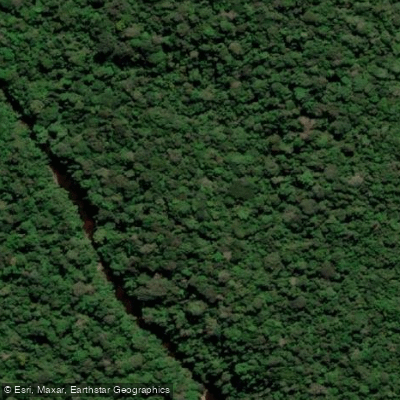
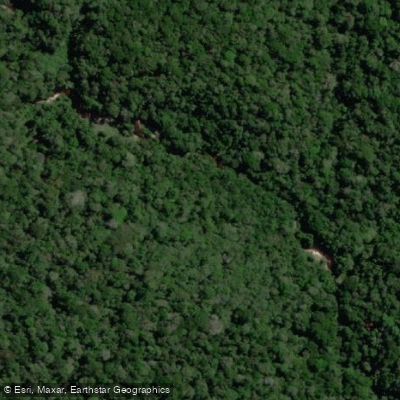
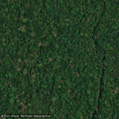
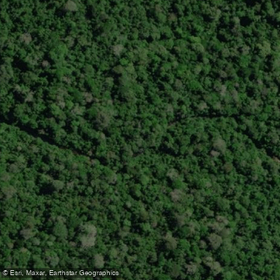
Acari National Park protects nearly 900,000 hectares of lowland Amazon rainforest in the state of Amazonas — one of the most remote and intact stretches of the southern Amazon basin.
The park was created in 2016 specifically to protect the watersheds of the Rio Acari, Rio Camaiú, Rio Sucunduri, and Rio Abacaxis, along with their tributaries.
That mandate shapes everything about paddling here: the rivers are the reason the park exists, and moving through them means moving through some of the least-disturbed blackwater and mixed-water systems in Brazil.
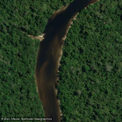
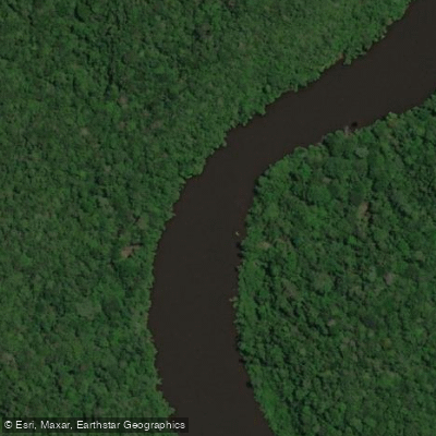
The Rio Acari is the park's namesake and its most prominent waterway. It flows through the park interior before joining the Rio Sucunduri from the left — the downstream confluence forming the Rio Canumã.
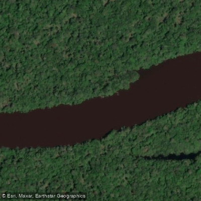
Both rivers carry the dark, tannin-stained water characteristic of Amazonian blackwater systems, draining through terra firme forest and floodplain forest that border their banks. The Igarapé dos Carecas is among the smaller tributaries within the park.
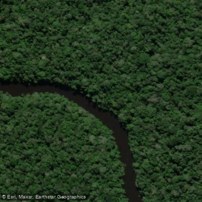
Igarapés like this one — narrow forest streams — are the connective tissue of Amazonian paddling, threading through flooded forest where open river travel gives way to close, canopied water.
The park is administered by ICMBio, the Chico Mendes Institute for Biodiversity Conservation.
As with all Brazilian national parks, visits require coordination with ICMBio, and anyone planning a river trip inside the park should contact them directly for current access requirements and any permits needed for overnight travel on the water.
The nearest municipality with any infrastructure is Apuí, in Amazonas. Getting to the park's rivers requires serious logistical planning — there are no developed launch facilities, no concessionaires operating inside the park, and no marked water trails.
This is expedition paddling in a genuine wilderness context. The rivers here have seen little scientific survey, which means conditions, portages, and access points are not well documented in public sources.
That remoteness is also what makes the water worth the effort: giant otters in the river channels, flooded forest closing in on both sides, and the kind of silence that only comes when the nearest road is very far away.


Water and weather conditions (10 day forecast)
See the best times to paddle Acari National Park and check the forecast before you go.
No forecast data available.
Paddle smarter with real-time insights
Whether you're en route and conditions shift or you're looking for the best spot based on current flows, we enable you to make informed decisions on the fly.







Paddling near Acari National Park
Loading...
Explore Acari National Park
Top paddling waters
Popular Cities
Loading popular cities...

Smarter Paddling Starts in the App.
Paddleways gives you everything you need to plan smarter, paddle better, and own every trip from first launch to takeout.