Paddling in Araucárias National Park
- National Park
- Lakes
- 0
- Rivers
- 4
- Access
- 0
- Boat Ramps
- 0
- Shops
- 0
Araucárias National Park sits on the Campos Gerais plateau in western Santa Catarina, ranging in elevation from around 805 to 1,218 metres.
The terrain is high-altitude mixed rainforest — the kind that once defined this corner of southern Brazil — cut through by rivers that drain westward off the plateau.
The park's primary conservation purpose is protecting what remains of that forest, and the rivers running through it reflect that: cold, clear, and fed by roughly 1,930 millimetres of annual rainfall.
The rivers the park explicitly protects include the Chapecó, Chapecozinho, Mato, and Caratuva. The forest cover is what keeps these waters clean, and the park's management framework treats water quality as a direct measure of conservation success.
For paddlers, that means the rivers here carry the character of a functioning watershed — not channelized, not impounded within the park boundary.
One trail inside the park leads down to the rio Chapecozinho above a waterfall, reaching a natural pool where the current creates foam — a reference point for anyone reading the river from the bank.
Small cascades and river rapids are visible from the trails, which gives a sense of gradient without pinning down specific drops.
This is a working protected area administered by the Instituto Chico Mendes de Conservação da Biodiversidade (ICMBio), with a buffer zone and active management.
Any paddling inside the boundary should be coordinated directly with the park — access rules, permits, and what's open to non-motorized craft are questions ICMBio answers, not assumptions worth making in a place managed this carefully.
The rivers here aren't famous runs. They're the reason the forest still stands.
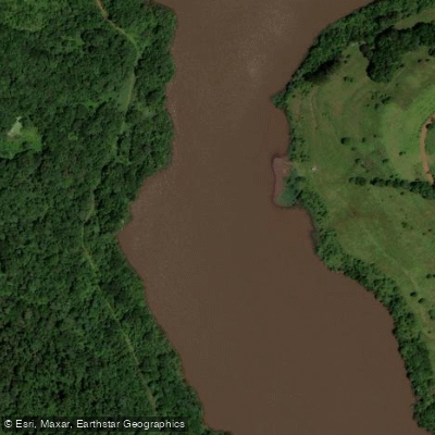
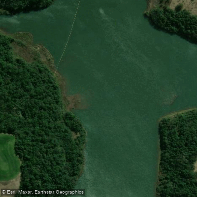
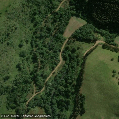
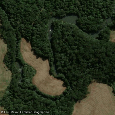
Top waters to paddle near Araucarias National Park
Water and weather conditions (10 day forecast)
See the best times to paddle Araucárias National Park and check the forecast before you go.
No forecast data available.
Paddle smarter with real-time insights
Whether you're en route and conditions shift or you're looking for the best spot based on current flows, we enable you to make informed decisions on the fly.







Paddling near Araucárias National Park
Loading...
Gateway towns
Where to base yourself for paddling in Araucárias National Park.
- Ponte SerradaSC
The main gateway municipality for the park, with local guides available for required guided visits.
- Passos MaiaSC
The other municipality bordering the park, serving as an access point for visitors entering from the east.
Explore Araucárias National Park
Top paddling waters
Popular Cities
Loading popular cities...

Smarter Paddling Starts in the App.
Paddleways gives you everything you need to plan smarter, paddle better, and own every trip from first launch to takeout.