Paddling in Campos Amazônicos National Park
- National Park
- Lakes
- 0
- Rivers
- 104
- Access
- 0
- Boat Ramps
- 0
- Shops
- 0
Campos Amazônicos sits in the western Amazon, spanning parts of Amazonas, Rondônia, and Mato Grosso — a nearly million-hectare block of terrain where dense rainforest gives way to cerrado enclaves, seasonally flooded lowlands, and gently rolling plateaus.
The water here moves slowly. The park is laced with meandering rivers, and the terrain is generally flat, which shapes everything about what paddling here looks and feels like.
The Rio Roosevelt is the park's defining waterway, flowing through from south to north. Named for Theodore Roosevelt, who explored this region in the early twentieth century, it is the backbone of any serious river journey inside the park.
The Jiparaná River (also called the Machado River) runs along the park's southern boundary in Rondônia rather than through it.
Inside the park, the headwaters of the dos Marmelos and Manicoré rivers also originate — smaller, quieter water that drains the interior.
The Igarapé do Juma and Igarapé do Açu are among the igarapés — the narrow, forest-lined creek channels — that thread through the park's lowland areas. Annual rainfall averages around 2,300 millimeters, and the seasonal swing matters on these rivers.
High water floods the forest margins and opens up routes through flooded terrain; low water concentrates fish and exposes sandbars for camping.
The park straddles Amazonas, Rondônia, and Mato Grosso, and the nearest city is Machadinho d'Oeste in Rondônia — logistics into the interior require real planning.
The park is under strict federal protection administered by the Chico Mendes Institute for Biodiversity Conservation (ICMBio), with all exploration and activity regulated within its boundaries.
Before any trip, contact ICMBio directly for current access requirements, as rules for overnight river travel inside a federally protected area like this are not the same as paddling a free-flowing river outside park boundaries.
This is not a park you drift into casually. The rivers are slow and the forest is intact, but the remoteness is genuine — no roads, no infrastructure, and active pressure from illegal land occupation along the park's edges.
The Rio Roosevelt carries history as well as current. Paddling it means moving through one of the better-preserved stretches of the southern Amazon, on water that has been shaping this landscape long before it had a name on any map.
Top waters to paddle near Campos Amazonicos National Park
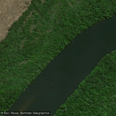
Rio Roosevelt
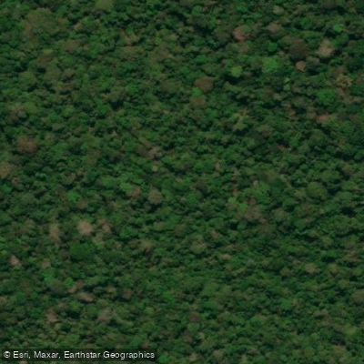
Igarapé do Juma
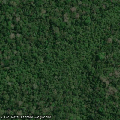
Igarapé do Açu
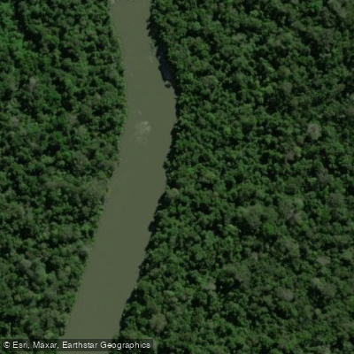
Rio Guariba
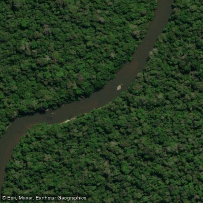
Rio Madeirinha
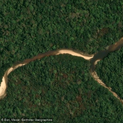
Rio Branco
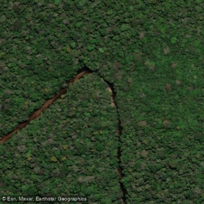
Rio Machadinho
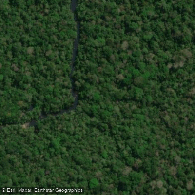
Igarapé da Taboca
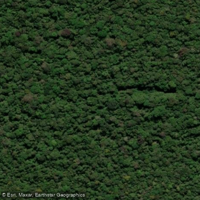
Igarapé Taboca
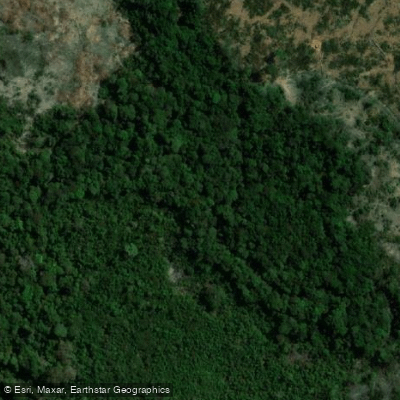
Igarapé Jatuarana
Water and weather conditions (10 day forecast)
See the best times to paddle Campos Amazônicos National Park and check the forecast before you go.
No forecast data available.
Paddle smarter with real-time insights
Whether you're en route and conditions shift or you're looking for the best spot based on current flows, we enable you to make informed decisions on the fly.







Paddling near Campos Amazônicos National Park
Loading...
Gateway towns
Where to base yourself for paddling in Campos Amazônicos National Park.
- Machadinho d'OesteRO
The nearest city to the park, serving as the primary access point on the Rondônia side.
- ManicoréAM
A riverside municipality covering a significant portion of the park's area, providing access from the Amazonas side.
- Novo AripuanãAM
The municipality encompassing the largest share of the park, offering a base for reaching the Amazonas portion.
- HumaitáAM
A town in Amazonas bordering the park's northern edge near the Trans-Amazonian Highway corridor.
Explore Campos Amazônicos National Park
Top paddling waters
Popular Cities
Loading popular cities...

Smarter Paddling Starts in the App.
Paddleways gives you everything you need to plan smarter, paddle better, and own every trip from first launch to takeout.