Paddling in Chapada dos Veadeiros National Park
- National Park
- Lakes
- 0
- Rivers
- 15
- Access
- 0
- Boat Ramps
- 0
- Shops
- 0
The waters of Chapada dos Veadeiros National Park run off one of the highest plateaus in central Brazil — ancient quartzite terrain in the Cerrado of Goiás, where rivers cut through deep canyons and drop over falls before spreading across the broader watershed.
The park sits at elevations between 600 and 1,691 meters, and that relief shapes everything about how the water moves.
The Rio Preto is the park's main waterway, traversing the interior and generating some of the most dramatic falls in the region, with plunges exceeding 80 meters. The Rio Tocantizinho runs through the park as well, known for its scenery and used for rafting.
The Ribeirão Areias is among the smaller drainages within the park boundary. Water clarity throughout the park is exceptional — the quartz-crystal substrate and protected catchment keep the rivers among the purest in Brazil.
The Cerrado's rainfall pattern defines the paddling calendar. The wet season runs roughly from October through March, when rivers are full and moving; the dry season, April through September, drops levels significantly on smaller drainages.
The Rio Preto and Rio Tocantizinho hold water longer into the dry months, but conditions vary year to year. Access into the park is managed and limited. The park is open daily, with foot access from 8 a. m. to noon and internal transport access from 9 a. m.
to 3 p. m. The gateway villages are São Jorge, directly at the park entrance, and Alto Paraíso de Goiás, about 20 kilometers away with more infrastructure.
The park is administered by the Chico Mendes Institute for Biodiversity Conservation; check with them directly for current permits and any restrictions on river use before launching. These rivers deserve the care they get.
The Chapada dos Veadeiros is a UNESCO World Heritage Site precisely because so little of the Cerrado remains intact — the park protects headwaters that feed a much larger system. Paddle here like it matters, because it does.
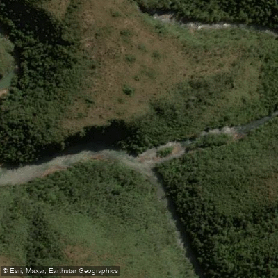
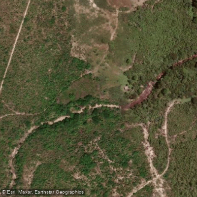
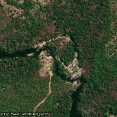
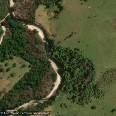
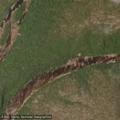
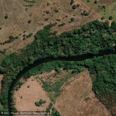
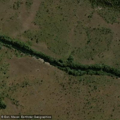
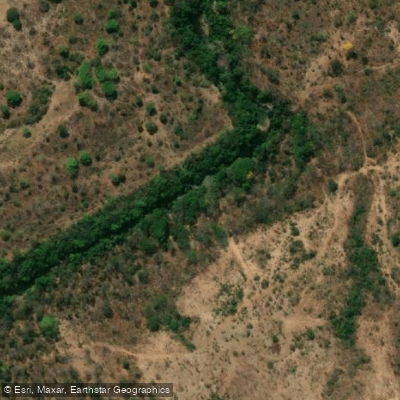
Top waters to paddle near Chapada Dos Veadeiros National Park
Water and weather conditions (10 day forecast)
See the best times to paddle Chapada dos Veadeiros National Park and check the forecast before you go.
No forecast data available.
Paddle smarter with real-time insights
Whether you're en route and conditions shift or you're looking for the best spot based on current flows, we enable you to make informed decisions on the fly.







Paddling near Chapada dos Veadeiros National Park
Loading...
Gateway towns
Where to base yourself for paddling in Chapada dos Veadeiros National Park.
- Alto Paraíso de GoiásGoiás
The main hub for the park, with the widest range of pousadas, guides, outfitters, and services for visitors.
- São JorgeGoiás
Small village sitting at the park's main entrance, with camping, pousadas, and direct trail access.
- CavalcanteGoiás
Northern gateway town serving the park's Cavalcante sector, with lodging and access to the Kalunga territory.
Explore Chapada dos Veadeiros National Park
Top paddling waters
Popular Cities
Loading popular cities...

Smarter Paddling Starts in the App.
Paddleways gives you everything you need to plan smarter, paddle better, and own every trip from first launch to takeout.