Paddling in Guaricana National Park
- National Park
- Lakes
- 1
- Rivers
- 12
- Access
- 0
- Boat Ramps
- 0
- Shops
- 0
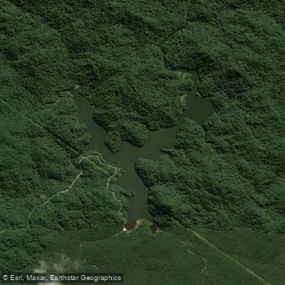
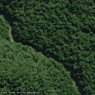
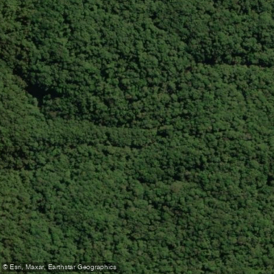
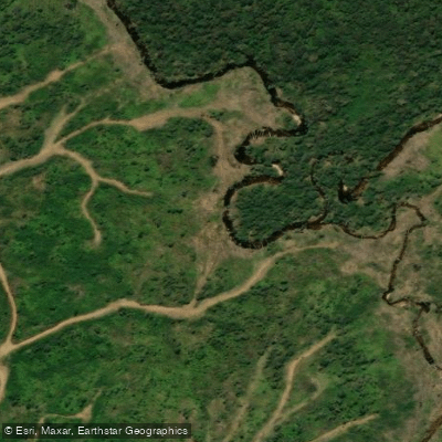
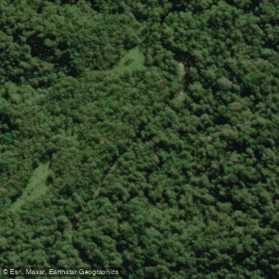
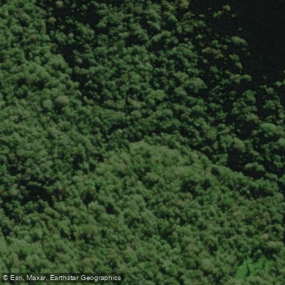
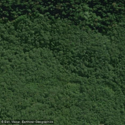
Guaricana National Park sits in the steep Serra do Mar mountains of Paraná, where the terrain drops from nearly 1,680 metres above sea level down through deep, forested valleys toward the coast.
The entire park drains into the littoral basin of Paraná, and that geography shapes everything about the water here: high rainfall, sharp gradients, and rivers that run fast and cold out of Atlantic Forest that has been largely stripped from the surrounding landscape.
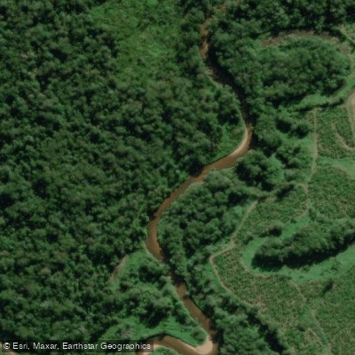
The Rio Cubatãozinho is the primary river anchoring the park's watershed, draining the bulk of the interior alongside the Rio Cubatão.
A smaller northeastern section of the park feeds the Rio Pinto and Rio Sagrado, which run north toward Paranaguá Bay rather than south toward Guaratuba Bay.
These are mountain rivers born from terrain that receives around 3,000 millimetres of rain annually — water is not the limiting factor here.
What that rainfall means in practice is rivers that respond quickly to precipitation and carry real volume after storms. The Serra do Mar intercepts moisture off the Atlantic, and the park's elevation range means runoff concentrates fast.
Paddlers accustomed to coastal flatwater will find something fundamentally different inside the park boundaries: gradient, current, and the kind of unpredictability that comes with steep-valley hydrology.
Guaricana was established in 2014 and is administered by the Chico Mendes Institute for Biodiversity Conservation (ICMBio).
As a federally protected area inside one of the most threatened biomes on Earth, access and permitted uses are subject to park management rules — check directly with ICMBio before planning any river trip inside the boundaries.
The Atlantic Forest remnant the park protects is rare enough that the rivers running through it carry weight beyond the paddling.
Water and weather conditions (10 day forecast)
See the best times to paddle Guaricana National Park and check the forecast before you go.
No forecast data available.
Paddle smarter with real-time insights
Whether you're en route and conditions shift or you're looking for the best spot based on current flows, we enable you to make informed decisions on the fly.







Paddling near Guaricana National Park
Loading...
Gateway towns
Where to base yourself for paddling in Guaricana National Park.
- GuaratubaPR
One of the three municipalities that border the park, serving as a coastal base for Atlantic Forest access.
- MorretesPR
A park-border municipality on the Serra do Mar side, offering a base for exploring the park's highland terrain.
- São José dos PinhaisPR
The third municipality within the park's boundaries, providing access from the Curitiba metropolitan area.
Explore Guaricana National Park
Top paddling waters
Popular Cities
Loading popular cities...

Smarter Paddling Starts in the App.
Paddleways gives you everything you need to plan smarter, paddle better, and own every trip from first launch to takeout.