Paddling in Lençóis Maranhenses National Park
- National Park
- Lakes
- 4
- Rivers
- 6
- Access
- 0
- Boat Ramps
- 0
- Shops
- 0
Lençóis Maranhenses National Park sits along the northeastern coast of Brazil, where an enormous field of white sand dunes meets a coastline shaped by rivers, mangroves, and restinga forest.
The park covers roughly 1,538 square kilometers, running about 70 kilometers along the shore.
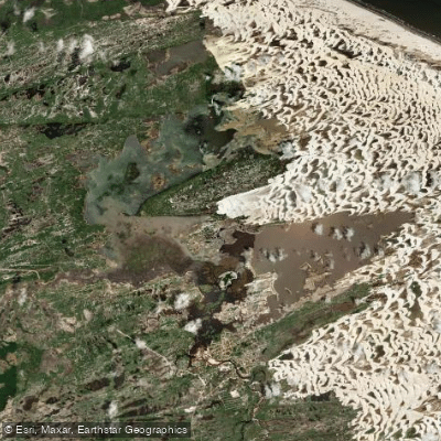
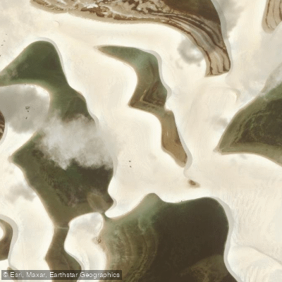
What makes it unusual as a paddling destination is the water itself: freshwater lagoons form in the low valleys between dunes when seasonal rains fall on impermeable rock layers beneath the sand, creating pools that can't drain.
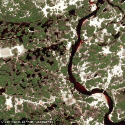
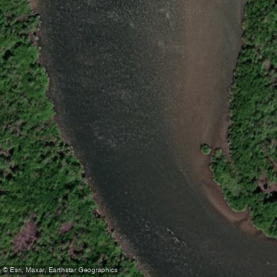
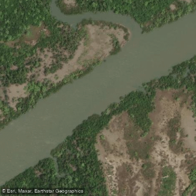
The result is a landscape where open water appears and disappears on a seasonal rhythm, and where rivers thread through dunes and mangrove edges to reach the sea. The Rio Preguiças is the primary paddling corridor inside the park.
It connects the gateway town of Barreirinhas to the coast at Atins, and kayak trips on this river — running two days — are among the most established ways to move through the park by water.
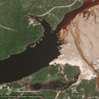
The river passes through dune country and mangrove margins, and Atins itself sits at the river's mouth where the dunes meet the Atlantic.
The Rio Alegre, near Santo Amaro, is another named water in the park's interior, running through a quieter, less-visited stretch of the park. The lagoons — including Lagoa Azul and those accessible from Atins — are the other paddling draw.
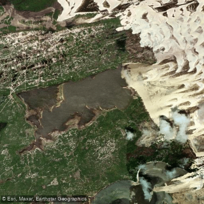
These are calm, clear freshwater bodies set among the dunes, reached on foot or by water depending on the season and location. The park allows canoeing as an activity, and guided kayak tours operate out of Barreirinhas.
The lagoons are at their fullest between roughly the rainy season peak and the dry months that follow; by the late dry season, some shrink or disappear entirely. Access to the park's interior requires planning.
Santo Amaro and Atins are more remote than Barreirinhas and demand 4x4 vehicles or boat travel to reach.
The park's protected status means visitors should check current entry and activity rules directly with park administration before launching — what's permitted on the lagoons and rivers can differ from unprotected waters nearby.
The Rio Preguiças doesn't ask much of paddlers technically, but the logistics of moving through a dune landscape with seasonal water demand respect for the place.
The park was created to protect the dune and lagoon system, and the water that fills those lagoons each year is the same water that makes the paddling possible.
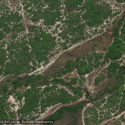
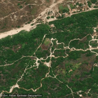
Top waters to paddle near Lencois Maranhenses National Park

Water and weather conditions (10 day forecast)
See the best times to paddle Lençóis Maranhenses National Park and check the forecast before you go.
No forecast data available.
Paddle smarter with real-time insights
Whether you're en route and conditions shift or you're looking for the best spot based on current flows, we enable you to make informed decisions on the fly.







Paddling near Lençóis Maranhenses National Park
Loading...
Gateway towns
Where to base yourself for paddling in Lençóis Maranhenses National Park.
- BarreirinhasMaranhão
Main gateway town with the best infrastructure, most tour operators, and the primary starting point for park excursions.
- AtinsMaranhão
Small village on the park's eastern edge, closer to the dunes and lagoons, with pousadas and a quieter base for exploring.
- Santo AmaroMaranhão
Remote western access point situated within the park, offering direct access to lagoons and dunes with fewer crowds.
Explore Lençóis Maranhenses National Park
Top paddling waters
Popular Cities
Loading popular cities...

Smarter Paddling Starts in the App.
Paddleways gives you everything you need to plan smarter, paddle better, and own every trip from first launch to takeout.