Paddling in Pantanal Matogrossense National Park
- National Park
- Lakes
- 4
- Rivers
- 8
- Access
- 0
- Boat Ramps
- 0
- Shops
- 0
The water here is the park. Pantanal Matogrossense National Park sits in the western state of Mato Grosso, straddling the border with Mato Grosso do Sul, and it is built entirely from the logic of flood and recession.
Flat terrain, permanent swamps, and seasonally inundated grasslands define the landscape — and when the rains come, roughly 80% of those grasslands go underwater. At peak flood, access to the park is practical only by boat.
The Rio São Lourenço and the Cuiabá River are the primary moving water inside the park, feeding into the upper Paraguay River Basin.
The Baía do Burro is among the lagoons and bays scattered across the floodplain — the kind of still, open water that reads calm on the surface but holds serious wildlife density below and along the banks.
The park's lagoons function as nurseries for pacu and pintado, two commercially important fish species, which shapes both the ecology and the rules around fishing here. Seasonality drives everything.
The dry season, roughly July through October, concentrates wildlife around remaining water and makes navigation more predictable.
The flooded season — when the grasslands disappear and the park becomes a continuous shallow sea — demands different skills and orientation.
Paddling during high water means reading a landscape with few fixed reference points, where the channel and the floodplain are the same thing.
Canoe and kayak travel is well-suited to this environment; the shallow, slow-moving water rewards quiet approach, and motorized craft are harder to justify ecologically where the current asks nothing of you.
ICMBio administers the park, and as with any Brazilian national park, regulations around access, overnight travel, and fishing apply.
Check directly with ICMBio for current permit requirements before launching — the park's protected status under the Ramsar Convention and its IUCN Category II designation mean rules exist and are enforced.
The park was expanded in March 2026, adding over 116,000 acres and reinforcing connectivity with protected areas across the upper Paraguay Basin.
That context matters on the water: you are paddling inside one of the highest jaguar-density habitats on earth, through wetlands that are actively managed for long-term resilience. Move quietly, and the park will show you why that matters.
Top waters to paddle near Pantanal Matogrossense National Park
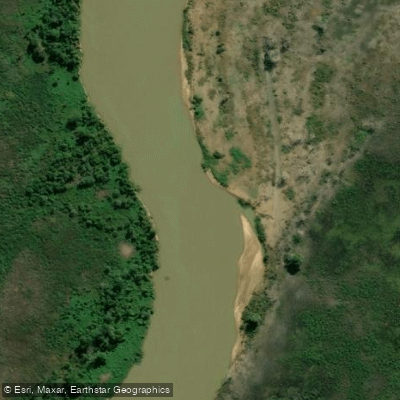
Rio São Lourenço
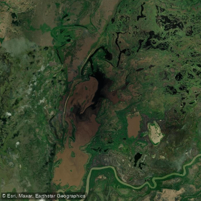
Baía Do Burro
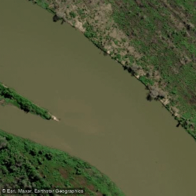
Rio Paraguai
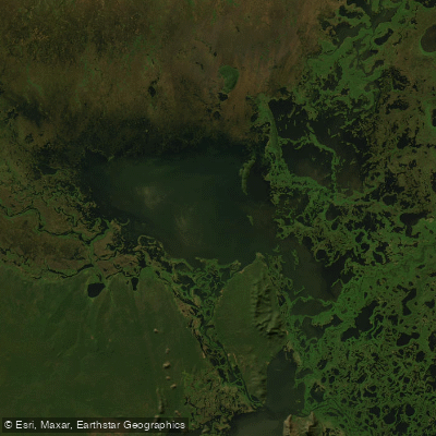
Lagoa Uberaba
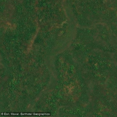
Rio Alegre
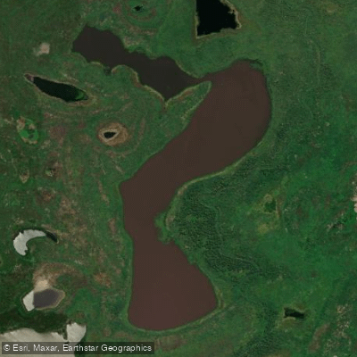
Baía Do Dia Dois
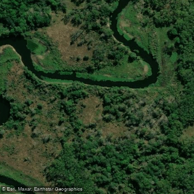
Rio Caracará
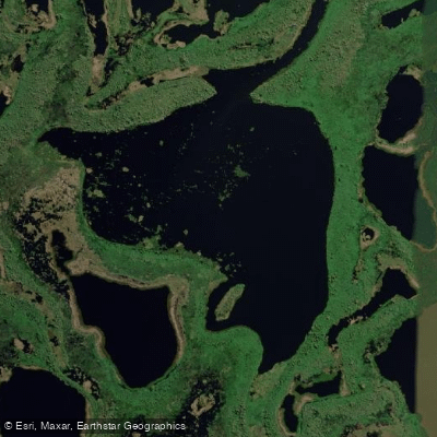
Baía Infinita
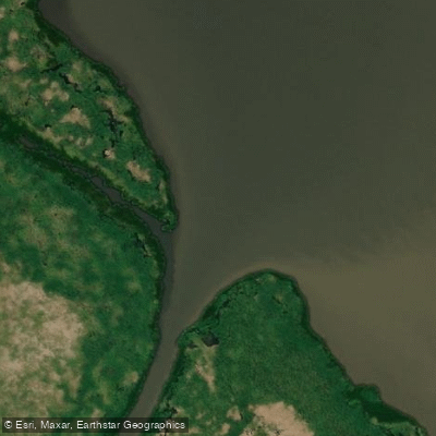
Rio Caracarazinho
Rio Caracará Grande
Water and weather conditions (10 day forecast)
See the best times to paddle Pantanal Matogrossense National Park and check the forecast before you go.
No forecast data available.
Paddle smarter with real-time insights
Whether you're en route and conditions shift or you're looking for the best spot based on current flows, we enable you to make informed decisions on the fly.







Paddling near Pantanal Matogrossense National Park
Loading...
Gateway towns
Where to base yourself for paddling in Pantanal Matogrossense National Park.
- PoconéMT
Gateway town at the start of the Transpantaneira Highway, with hostels, guesthouses, and outfitters serving the park entrance.
- Porto JofreMT
Remote town at the end of the Transpantaneira Highway and the main launch point for boat safaris into the park's jaguar territory.
- CuiabáMT
State capital and main fly-in hub for the northern Pantanal, where most visitors arrange transfers, guides, and lodge packages for the park.
Explore Pantanal Matogrossense National Park
Top paddling waters
Popular Cities
Loading popular cities...

Smarter Paddling Starts in the App.
Paddleways gives you everything you need to plan smarter, paddle better, and own every trip from first launch to takeout.