Paddling in Parque Nacional da Chapada das Mesas
- National Park
- Lakes
- 0
- Rivers
- 14
- Access
- 0
- Boat Ramps
- 0
- Shops
- 0
Parque Nacional da Chapada das Mesas sits in the cerrado of southern Maranhão, where three biomes — cerrado, caatinga, and Amazônia — converge near the border with Tocantins.
The park's 160,046 hectares protect a landscape of sandstone plateaus, deep canyons, and rivers that carve through the mesa country before draining toward the Rio Tocantins.
The water here is the reason the park exists: the Cachoeira de São Romão, the most voluminous waterfall inside the park, was the direct target of a proposed hydroelectric project, and blocking that dam was the driving force behind the park's creation in 2005.
The paddling anchors on the park's major waterfalls and the pools and river stretches connected to them.
Cachoeira de São Romão, at 25 meters, is the centerpiece — kayak is listed as an optional activity at the site, making it one of the few places inside the park where paddling is explicitly part of the visitor experience.
Cachoeira da Prata is the other major fall inside the protected boundary, where water drops over rocky ledges into a clear basin. The Rio Azul, with its distinctively blue water, rounds out the named waters connected to this landscape.
Access to the waterfalls inside the park requires a credentialed guide and, for several sites, a 4x4 vehicle — the roads are not passable by standard cars. Carolina, roughly 845 kilometers from São Luís, is the main gateway.
The dry season, May through October, is the practical window: water levels are manageable, trails are passable, and the waterfalls run clear. The December-to-March rainy season can make access routes impassable entirely.
As a Proteção Integral federal park, rules here are stricter than at the private tourism complexes nearby.
Check with the park directly for current permit requirements before planning any paddling — what applies at São Romão may differ from what is allowed elsewhere inside the boundary, and those rules can change.
The park was created late — the first proposal dates to the 1970s, and it wasn't established until 2005 — and the reservoir of the Estreito hydroelectric dam already borders it to the south. What's inside the boundary is what was saved. Paddle it accordingly.
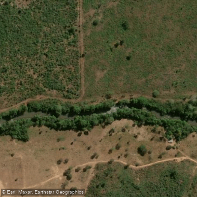
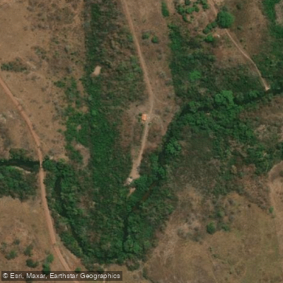
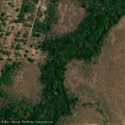
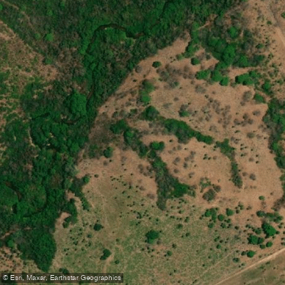
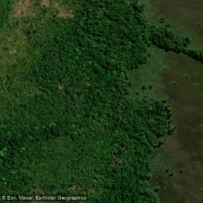
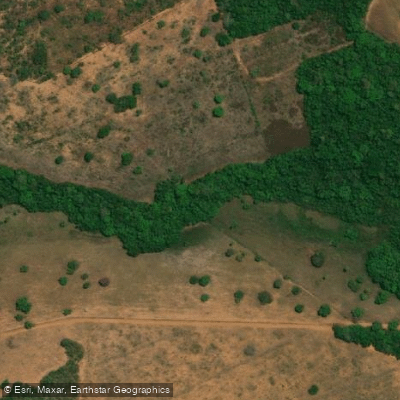
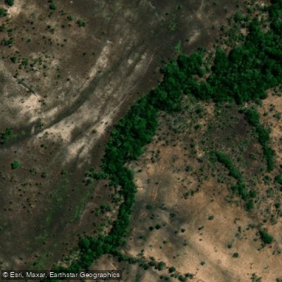
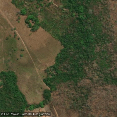
Top waters to paddle near Parque Nacional Da Chapada Das Mesas
Water and weather conditions (10 day forecast)
See the best times to paddle Parque Nacional da Chapada das Mesas and check the forecast before you go.
No forecast data available.
Paddle smarter with real-time insights
Whether you're en route and conditions shift or you're looking for the best spot based on current flows, we enable you to make informed decisions on the fly.







Paddling near Parque Nacional da Chapada das Mesas
Loading...
Gateway towns
Where to base yourself for paddling in Parque Nacional da Chapada das Mesas.
- CarolinaMA
The main gateway town for the park, with guides, pousadas, and access to the park's key attractions.
- RiachãoMA
A secondary base for visiting the park, offering lodging and day-trip access to the park's eastern areas.
Explore Parque Nacional da Chapada das Mesas
Top paddling waters
Popular Cities
Loading popular cities...

Smarter Paddling Starts in the App.
Paddleways gives you everything you need to plan smarter, paddle better, and own every trip from first launch to takeout.