Paddling in Parque Nacional da Restinga de Jurubatiba
- National Park
- Lakes
- 13
- Rivers
- 0
- Access
- 0
- Boat Ramps
- 0
- Shops
- 0
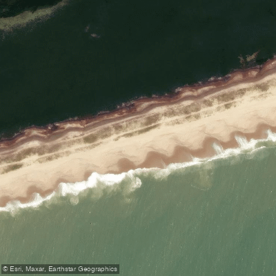
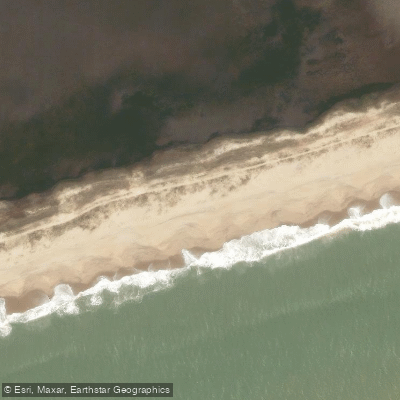
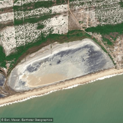
The paddling here is lagoon paddling — calm, coastal, and ecologically intimate. Parque Nacional da Restinga de Jurubatiba sits along roughly 44 kilometres of the northern Rio de Janeiro coast, spanning the municipalities of Quissamã, Carapebus, and Macaé.
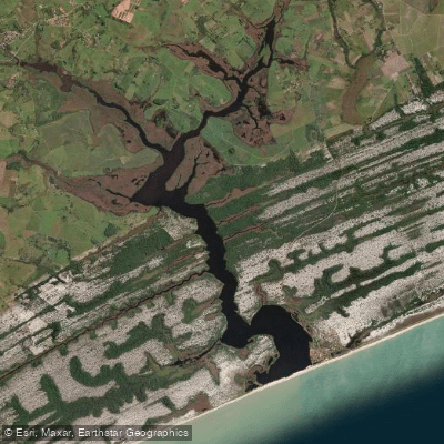
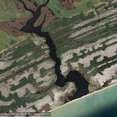
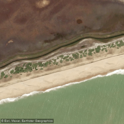
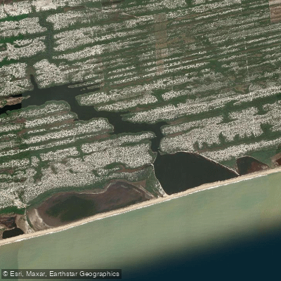
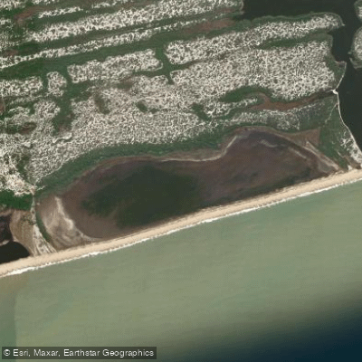
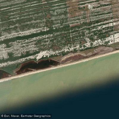
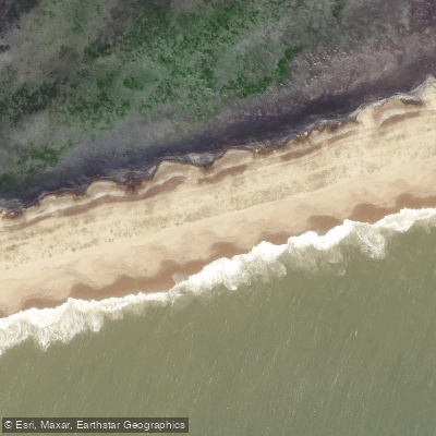
The park's interior is a mosaic of sandy restinga plain and a complex of around 18 shallow coastal lagoons, separated from the Atlantic by narrow sandbanks and dense scrub vegetation. There are no rivers to run here in any whitewater sense.
The water is flatwater, the current is negligible, and the scale is intimate. The lagoons are the paddling. Lagoa de Carapebus and Lagoa Comprida are among the largest and most prominent water bodies within the park's roughly 14,860 hectares.
Smaller lagoons — including Lagoa do Piriri and Lagoa do Robalo, both referenced in trail routes that connect the water bodies — round out the accessible options.
The water is described as clear, the surroundings low and open: bromeliads, creeping restinga vegetation, and the kind of flat horizon that makes wind the main variable on any given day.
Because this is a Proteção Integral park — the strictest protection category under Brazilian federal law, administered by ICMBio — the rules matter before you launch. The park does not exist to absorb recreational pressure casually.
Contact ICMBio directly at parnajurubatiba@icmbio. gov. br or through the Macaé office to confirm what access, permits, and activities are currently authorized; those terms can change and the park is the only reliable source for current conditions.
This is a rare, entirely restinga-protected landscape where the paddling is slow, exposed to coastal wind, and conducted inside one of the only parks in Brazil built entirely around this ecosystem.
Bring sun protection, respect the boundaries, and ask before you put in.
Top waters to paddle near Parque Nacional Da Restinga De Jurubatiba
Water and weather conditions (10 day forecast)
See the best times to paddle Parque Nacional da Restinga de Jurubatiba and check the forecast before you go.
No forecast data available.
Paddle smarter with real-time insights
Whether you're en route and conditions shift or you're looking for the best spot based on current flows, we enable you to make informed decisions on the fly.







Paddling near Parque Nacional da Restinga de Jurubatiba
Loading...
Gateway towns
Where to base yourself for paddling in Parque Nacional da Restinga de Jurubatiba.
- CarapebusRJ
Gateway town sitting within the park's boundaries, with access to lagoons and the main visitor entry points.
- QuissamãRJ
Hosts the largest share of the park and serves as a base for accessing the restinga coast and interior lagoons.
- MacaéRJ
Largest nearby city with lodging, services, and the TripAdvisor-listed park access point on the park's southern edge.
Explore Parque Nacional da Restinga de Jurubatiba
Top paddling waters
Popular Cities
Loading popular cities...

Smarter Paddling Starts in the App.
Paddleways gives you everything you need to plan smarter, paddle better, and own every trip from first launch to takeout.